Frankfort in Franklin County, Kentucky — The American South (East South Central)
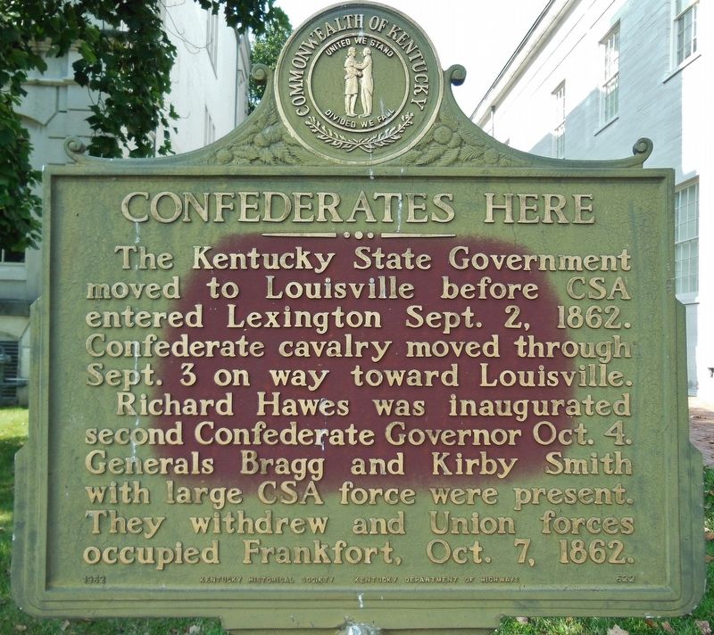
Confederates Here
Erected 1962 by Kentucky Historical Society & Kentucky Department of Highways. (Marker Number 522.)
Topics and series. This historical marker is listed in this topic list: War, US Civil. In addition, it is included in the Kentucky Historical Society series list. A significant historical date for this entry is September 2, 1862.
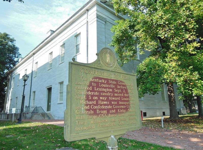
Location. 38° 12.027′ N, 84° 52.574′ W. Marker is in Frankfort, Kentucky, in Franklin County. Marker can be reached from the intersection of Clinton Street (Kentucky Route 420) and St Clair Street, on the right when traveling east. Located in between the Old State Capitol Building and the north parking lot. Touch for map. Marker is at or near this postal address: 300 W Broadway St, Frankfort KY 40601, United States of America. Touch for directions.
Other nearby markers. At least 8 other markers are within walking distance of this marker. Father of Kentucky Historical Society Highway Marker Program (within shouting distance of this marker); Old State House (within shouting distance of this marker); William Goebel (within shouting distance of this marker); Early Congregation (within shouting distance of this marker); Governor William Goebel (about 300 feet away, measured in a direct line); Inauguration Elm (about 300 feet away); Old Kentucky State Prison Keystone (about 300 feet away); Gov. George Madison (1763-1816) (about 400 feet away). Touch for a list and map of all markers in Frankfort.
Also see . . .
1. CSA Governor at Old State Capitol. Historical Marker commemorates the installation of Richard Hawes as Kentucky’s second Confederate governor. The ceremony took place at the Old State Capitol in Frankfort in 1862. That year, several Confederate armies invaded Kentucky. They installed Hawes as governor to show Kentuckians that their occupation of the state was militarily and politically viable. Soon after, however, Union troops advanced on Frankfort, and the planned inaugural ball was cancelled as the Confederates fled. Hawe’s tenure in the capital was brief, and, after the Battle of Perryville, the Confederates left Kentucky. (Submitted on September 26, 2018, by Cosmos Mariner of Cape Canaveral, Florida.)
2. Confederates Here. Multiple Confederate armies invaded Kentucky in order to pull Union troops away from the vital railroad junction of Chattanooga, Tennessee. In early September, the Southern troops converged on Frankfort, the state capital. On September 2, Unionist Governor James F. Robinson fled to Louisville with his cabinet and many members of the state legislature. The move to Louisville was orderly and without incident, and the state records and archives were saved from falling into rebel hands. Soon, state government was open for business in Louisville. (Submitted on September 26, 2018, by Cosmos Mariner of Cape Canaveral, Florida.)
Credits. This page was last revised on March 24, 2022. It was originally submitted on September 26, 2018, by Cosmos Mariner of Cape Canaveral, Florida. This page has been viewed 237 times since then and 30 times this year. Photos: 1, 2. submitted on September 26, 2018, by Cosmos Mariner of Cape Canaveral, Florida. 3. submitted on March 24, 2022, by Craig Doda of Napoleon, Ohio. • Bernard Fisher was the editor who published this page.


