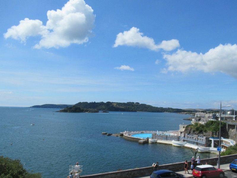
Plymouth, England, United Kingdom — Northwestern Europe (the British Isles)
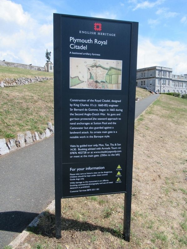
Plymouth Royal Citadel
English Heritage
Plymouth Royal Citadel
A bastioned artillery fortress
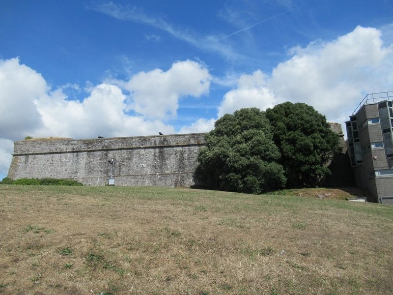
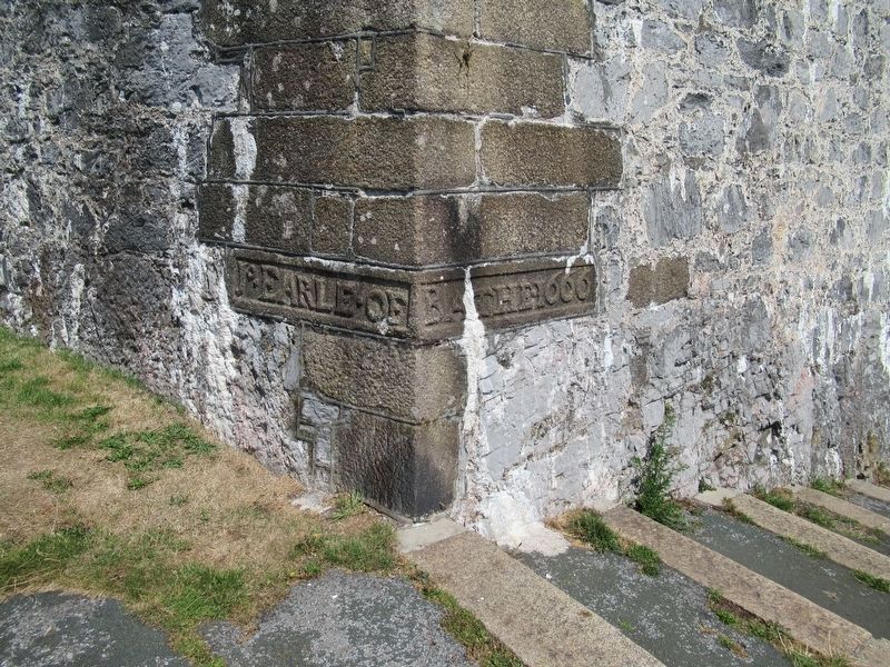
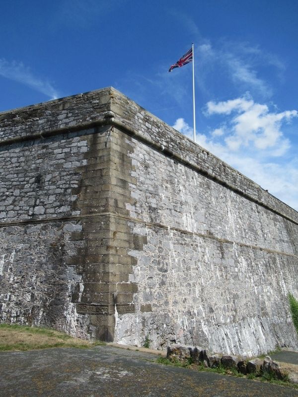
Construction of the Royal Citadel, designed by King Charles II's (r. 1660-85) engineer Sir Bernard de Gomme, began in 1665 during the Second Anglo-Dutch War. Its guns and garrison protected the seaward approach to naval anchorages at Sutton Pool and the Cattewater but also guarded against a landward attack. Its ornate main gate is a notable work in the Baroque style.
Visits by guided tour only, Mon, Tue, Thu & Sun 14.30. Booking advised with Armada Tours on or at www.citadel.yapsody.com or meet at the main gate. (350m to the left) For your information
Please take care as historic sites can be dangerous.
Children should be kept under close control.
Guide dogs only.
Wilful damage to the monument is an offence.
Smoking, commercial photography and use of metal detectors is prohibited.
Trip hazards
Sheer drops
Steep slopes
Customer Services
Topics. This historical marker is listed in this topic list: Forts and Castles.
Location. 50° 21.854′ N, 4° 8.442′ W. Marker is in Plymouth, England. Marker is at the intersection of Madeira Road and Hoe Road, on the right when traveling west on Madeira Road. Touch for map . Marker is in this post office area: Plymouth, England PL1 2JU, United Kingdom. Touch for directions.
Other nearby markers. At least 8 other markers are within walking distance of this marker. The Laboratory on the Hoe (within shouting distance of this marker); Royal Marines Memorial (within shouting distance of this marker); a different marker also named The Laboratory on the Hoe (within shouting distance of this marker); a different marker also named The Laboratory on the Hoe (within shouting distance of this marker); Smeaton Lighthouse (about 90 meters away, measured in a direct line); Plymouth RAF Monument (about 120 meters away); National Armada Memorial (about 120 meters away); The Plymouth Naval Memorial (about 180 meters away). Touch for a list and map of all markers in Plymouth.
Also see . . . Royal Citadel, Plymouth on Wikipedia. (Submitted on September 26, 2018, by Michael Herrick of Southbury, Connecticut.)
Credits. This page was last revised on January 27, 2022. It was originally submitted on September 26, 2018, by Michael Herrick of Southbury, Connecticut. This page has been viewed 183 times since then and 18 times this year. Photos: 1, 2, 3, 4, 5. submitted on September 26, 2018, by Michael Herrick of Southbury, Connecticut.
