Wetumpka in Elmore County, Alabama — The American South (East South Central)
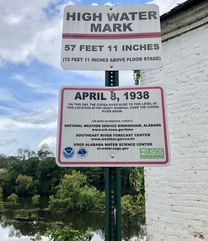
High Water Mark
57 Feet 11 Inches
— (12 Feet 11 Inches Above Flood Stage) —
On this day, the Coosa River rose to this level at
this location after heavy rainfall over the Coosa
River basin.
For more information, contact:
National Weather Service Birmingham, Alabama
www.srh.noaa.gov/bmx
Southeast River Forecast Center
www.weather.gov/serfc
USGS Alabama Water Science Center
al.water.usgs.gov
Erected 2013 by National Weather Service, USGS.
Topics. This historical marker is listed in these topic lists: Disasters • Waterways & Vessels. A significant historical date for this entry is April 8, 1938.
Location. 32° 32.292′ N, 86° 12.344′ W. Marker is in Wetumpka, Alabama, in Elmore County. Marker is on Orline Street, 0.1 miles south of Hill Street, on the right when traveling south. Touch for map. Marker is at or near this postal address: Orline Street, Wetumpka AL 36092, United States of America. Touch for directions.
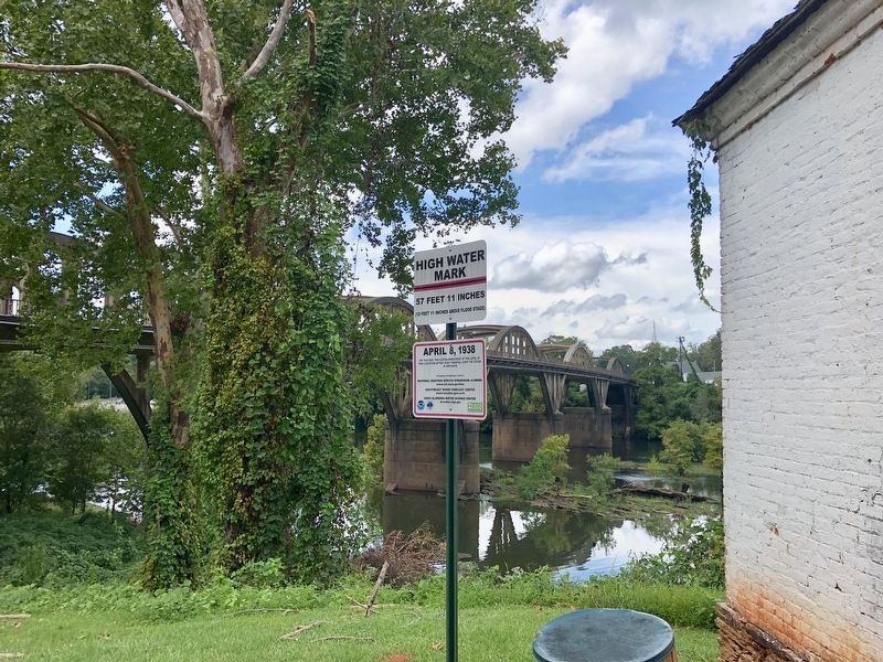
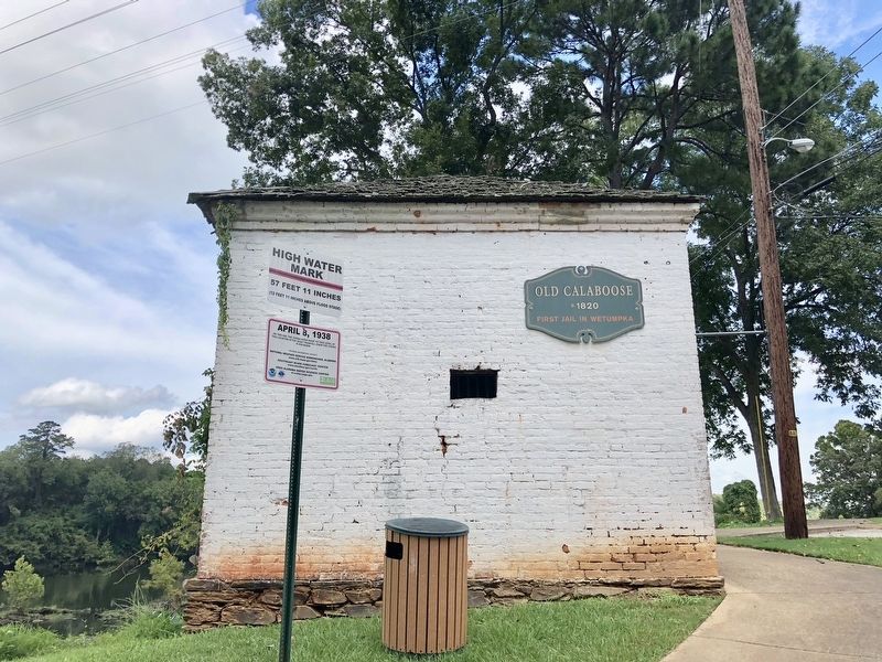
Other nearby markers. At least 8 other markers are within walking distance of this marker. Old Calaboose (here, next to this marker); Wetumpka's Bridges (a few steps from this marker); Wetumpka Impact Crater (about 400 feet away, measured in a direct line); a different marker also named Wetumpka Impact Crater (about 400 feet away); Elmore County Vietnam War Memorial (about 400 feet away); Wetumpka Timeline (about 500 feet away); Wetumpka Historical Marker (about 500 feet away); Elmore County Korean War Memorial (about 500 feet away). Touch for a list and map of all markers in Wetumpka.
Credits. This page was last revised on October 22, 2020. It was originally submitted on September 26, 2018, by Mark Hilton of Montgomery, Alabama. This page has been viewed 518 times since then and 67 times this year. Photos: 1, 2, 3. submitted on September 26, 2018, by Mark Hilton of Montgomery, Alabama.


