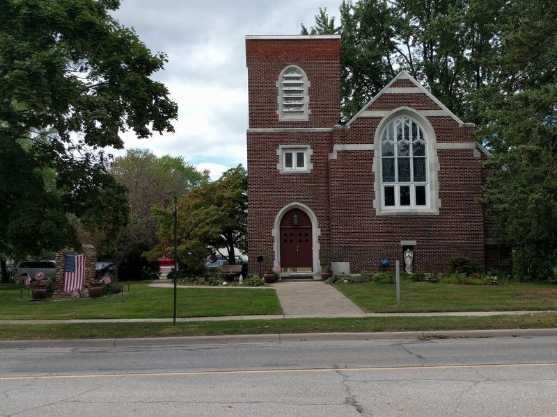
Algonac in St. Clair County, Michigan — The American Midwest (Great Lakes)
Saint Andrew's Parish / Saint Andrew's Church
Inscription.
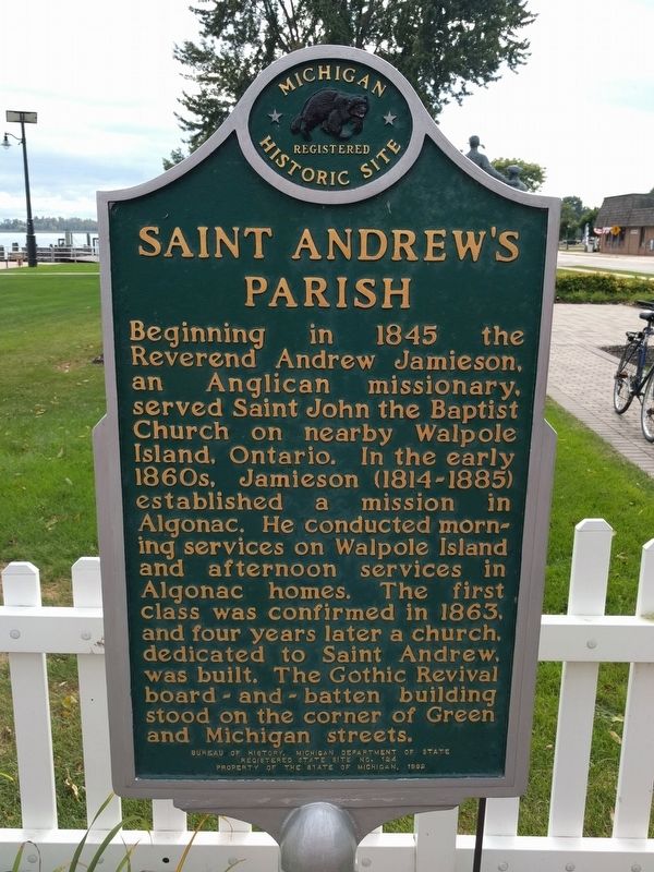
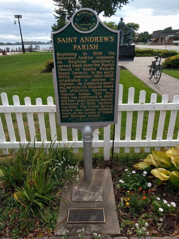
Saint Andrew's Parish
Beginning in 1845 the Reverend Andrew Jamieson, an Anglican missionary, served Saint John the Baptist Church on nearby Walpole Island, Ontario. In the early 1860s, Jamieson (1814-1885) established a mission in Algonac. He conducted morning services on Walpole Island and afternoon services in Algonac homes. The first class was confirmed in 1863, and four years later a church, dedicated to Saint Andrew, was built. The Gothic Revival board-and-batten building stood on the corner of Green and Michigan streets.
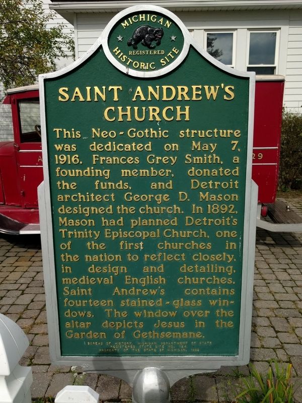
Saint Andrew's Church
This Neo-Gothic structure was dedicated on May 7, 1916. Frances Grey Smith, a founding member, donated the funds, and Detroit architect George D. Mason designed the church. In 1892, Mason had planned Detroit's Trinity Episcopal Church, one of the first churches in the nation to reflect closely, in design and detailing, medieval English churches. Saint Andrew's contains fourteen stained-glass windows. The window over the altar depicts Jesus in the Garden of Gethsemane.
Erected 1992 by Bureau of History, Michigan Department of State. (Marker Number S124.)
Topics and series. This historical marker is listed in this topic list: Churches & Religion. In addition, it is included in the Michigan Historical Commission series list. A significant historical date for this entry is May 7, 1916.
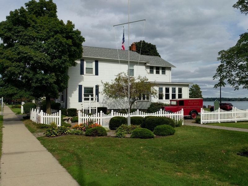
Location. 42° 37.161′ N, 82° 31.786′ W. Marker is in Algonac, Michigan, in St. Clair County. Marker is at the intersection of St. Clair River Road (State Highway 29) and Clay Street, on the right when traveling north on St. Clair River Road. Marker is on the south side of the Algonac / Clay Historical Society Museum. Touch for map. Marker is at or near this postal address: 1240 St Clair River Road, Algonac MI 48001, United States of America. Touch for directions.
Other nearby markers. At least 8 other markers are within 3 miles of this marker, measured as the crow flies. Clay Township Library (a few steps from this marker); Algonac Civil War / Vietnam Memorial (within shouting distance of this marker); Christopher Columbus Smith / Garfield A. "Gar" Wood (approx. 0.2 miles away); Water Speed Capital (approx. 0.2 miles away); St. Clair River Habitat Restoration (approx. 1.1 miles away); Stewart Farm / Memoir of Aura Stewart (approx. 2.2 miles away); Harsen House (approx. 2.4 miles away); a different marker also named St. Clair River Habitat Restoration (approx. 2.8 miles away). Touch for a list and map of all markers in Algonac.
Additional commentary.
1. Marker Moved
The marker was originally at St.
Andrew's Church, which was at 1507 St. Clair River Drive (at Orchard Street), about 0.1 mile north of the museum. The church closed in 2004 and the building is now a private residence.
— Submitted September 27, 2018, by Joel Seewald of Madison Heights, Michigan.
Credits. This page was last revised on September 27, 2018. It was originally submitted on September 27, 2018, by Joel Seewald of Madison Heights, Michigan. This page has been viewed 243 times since then and 15 times this year. Photos: 1, 2, 3, 4, 5. submitted on September 27, 2018, by Joel Seewald of Madison Heights, Michigan.
