Fort Pierre in Stanley County, South Dakota — The American Midwest (Upper Plains)
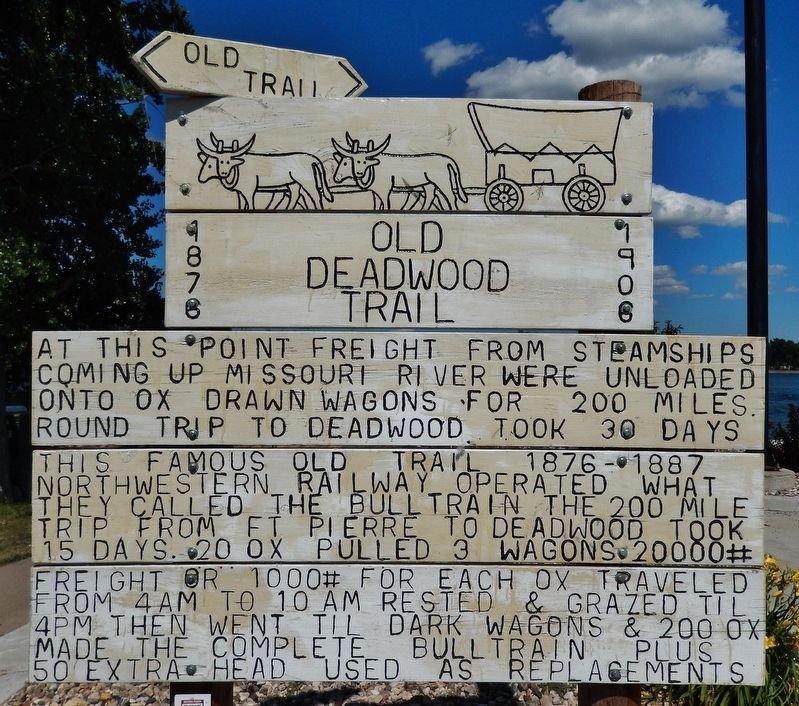
Old Deadwood Trail
1876-1908
At this point freight from steamships coming up the Missouri River were unloaded onto ox drawn wagons for 200 miles round trip to Deadwood took 30 days. This famous old trail 1876-1887 Northwestern Railway operated what they called the Bull Train. The 200 mile trip from Fort Pierre to Deadwood took 15 days. 20 ox pulled 3 wagons 20,000# freight or 1000# for each ox. Traveled from 4am to 10am; rested and grazed til 4pm then went til dark. Wagons & 200 ox made the complete Bull Train plus 50 extra head used as replacements
Topics. This historical marker is listed in this topic list: Roads & Vehicles. A significant historical year for this entry is 1876.
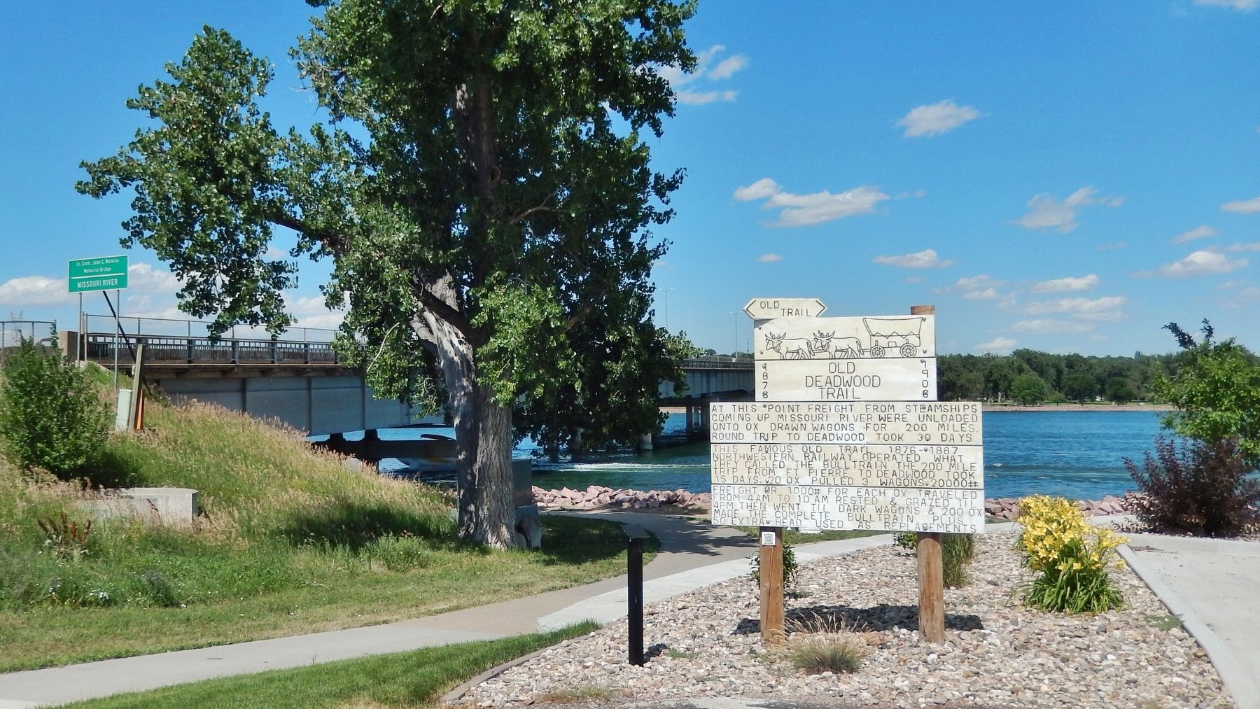
Location. 44° 22.191′ N, 100° 22.356′ W. Marker is in Fort Pierre, South Dakota, in Stanley County. Marker is on Hustan Avenue, 0.2 miles east of Island Drive, in the median. Marker is located at the east end of Hustan Avenue, overlooking the Missouri River and the bridge which carries carries US Highway 14/83 across the river. Touch for map. Marker is at or near this postal address: 325 Hustan Avenue, Fort Pierre SD 57532, United States of America. Touch for directions.
Other nearby markers. At least 8 other markers are within walking distance of this marker. John C. Waldron (a few steps from this marker); American Indians and the Fur Trade (approx. 0.2 miles away); South Dakota Railroads (approx. 0.2 miles away); Pierre's First School (approx. 0.4 miles away); Lewis and Clark (approx. 0.4 miles away); Pierre (approx. 0.4 miles away); Walter H. Burke (approx. 0.9 miles away); Alexander McDonald Putello (approx. 0.9 miles away). Touch for a list and map of all markers in Fort Pierre.
More about this marker. Marker is a large, painted, wooden "billboard-style" marker in excellent condition.
Also see . . .
1. Fort Pierre Deadwood Trail. After gold was discovered in the Black Hills in 1874, there became a need to transport people and freight to the “Hills”. One of the shortest and easiest travel routes was overland from Fort Pierre, S.D., the nearest river landing, to Deadwood, the epicenter of gold mining. From 1874 to 1908, thousands of tons of freight and hundreds of people arrived in Fort Pierre by riverboat or railroad destined for Deadwood. From Fort Pierre the freight was loaded on wagons pulled by teams of draft animals, usually oxen. From Fort Pierre the wagon trains headed west along the 200 mile route known as the Fort Pierre to Deadwood Trail, which followed an old buffalo trail used by Indians and fur traders. (Submitted on July 14, 2018, by Cosmos Mariner of Cape Canaveral, Florida.)
2. Ft. Pierre to Deadwood Trail. Much of the west has changed during the 130 years since the first wagon creaked across the nearly buffalo-less prairies of what was once the Great Sioux Reservation. The bull trains, whackers, stagecoaches and the "open range," are just remnants of history. In 1912, a mere four years after the Ft. Pierre-Deadwood Trail was abandoned, a “Good Roads Convention” was held in Deadwood where representatives from South Dakota, Wyoming and Montana pressed members of the U.S. Congress to build an auto road across South Dakota to the Black Hills and on to Yellowstone Park. By 1914, Highway 14 or, as it was known then, the Black and Yellow Trail had been scratched out across the prairie, replacing the old trail. The Black and Yellow Trail, whose surface was either dirt or gravel, crossed the Ft. Pierre to Deadwood Trail in 12 places and ran parallel to it for several miles, verifying that the buffalo, Indians, Gen. Harney, Lt. Warren and thousands of bull-whackers had followed the most efficient pathway to the Hills. (Submitted on July 14, 2018, by Cosmos Mariner of Cape Canaveral, Florida.)
Credits. This page was last revised on September 2, 2020. It was originally submitted on July 13, 2018, by Cosmos Mariner of Cape Canaveral, Florida. This page has been viewed 617 times since then and 64 times this year. Last updated on September 28, 2018, by Cosmos Mariner of Cape Canaveral, Florida. Photos: 1, 2, 3. submitted on July 14, 2018, by Cosmos Mariner of Cape Canaveral, Florida. • Andrew Ruppenstein was the editor who published this page.


