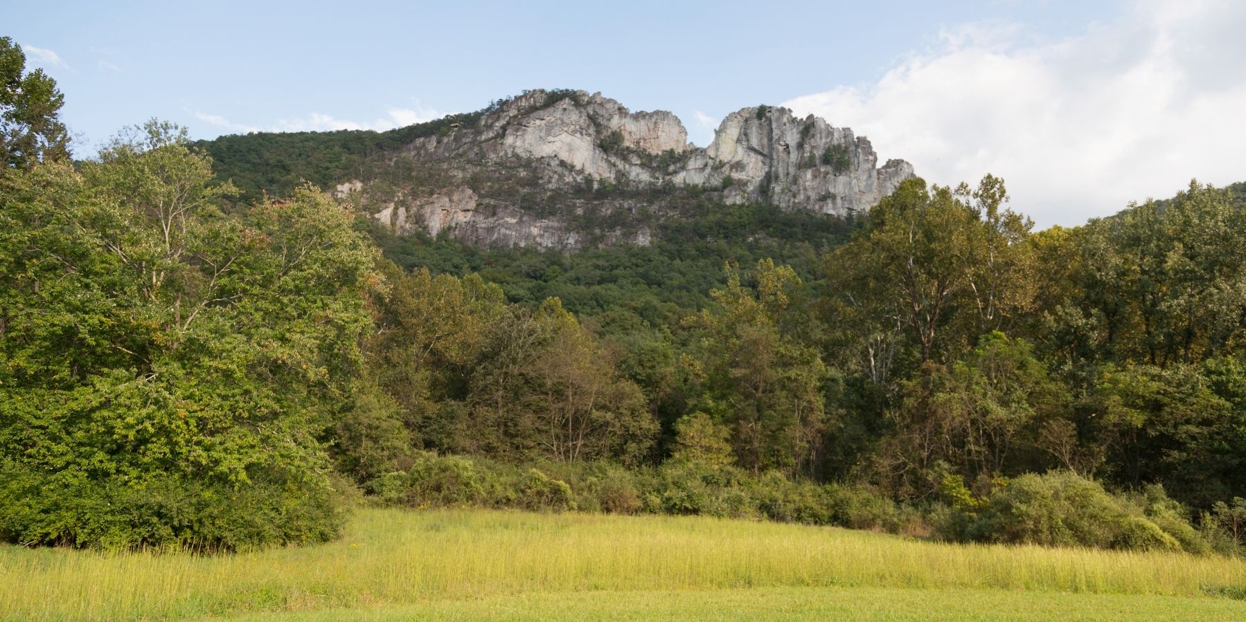
Seneca Rocks in Pendleton County, West Virginia — The American South (Appalachia)
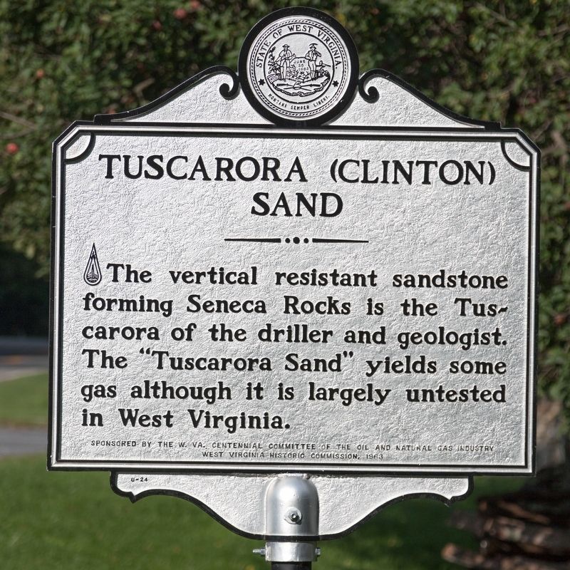
Tuscarora (Clinton) Sand
Erected 1963 by W. Va. Centennial Committee of the Oil and Natural Gas Industry and the West Virginia Historic Commission.
Topics and series. This historical marker is listed in these topic lists: Natural Features • Natural Resources. In addition, it is included in the West Virginia Archives and History series list.
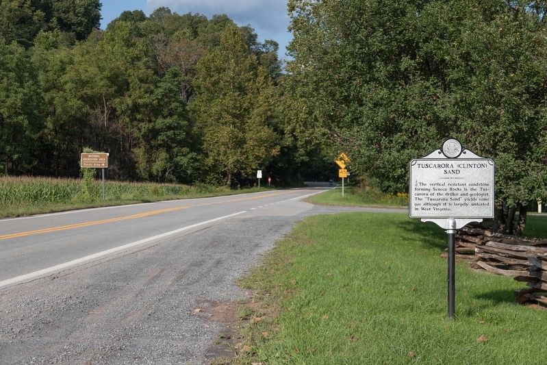
Location. Marker is missing. It was located near 38° 50.17′ N, 79° 22.45′ W. Marker was in Seneca Rocks, West Virginia, in Pendleton County. Marker was on West Virginia Route 28 just north of U.S. 33, on the right. It is at the entrance to the Seneca Rocks Trailhead parking and picnic area. Touch for map. Marker was in this post office area: Seneca Rocks WV 26884, United States of America. Touch for directions.
Other nearby markers. At least 8 other markers are within 6 miles of this location, measured as the crow flies. An 1800’s Garden! (within shouting distance of this marker); A Melting Pot House (within shouting distance of this marker); Sites Homestead (about 300 feet away, measured in a direct line); 10th Mountain Division (approx. 0.2 miles away); More Than One Way Up (approx. 0.2 miles away); Camp Luther (approx. 1˝ miles away); Eagle Rocks (approx. 4˝ miles away); St. George’s Church (approx. 5.3 miles away). Touch for a list and map of all markers in Seneca Rocks.
Credits. This page was last revised on May 12, 2022. It was originally submitted on October 2, 2018, by J. J. Prats of Powell, Ohio. This page has been viewed 226 times since then and 15 times this year. Photos: 1, 2, 3. submitted on October 2, 2018, by J. J. Prats of Powell, Ohio.


