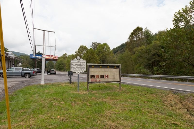
Green Sulphur Springs in Summers County, West Virginia — The American South (Appalachia)
Andrew & Charles Lewis March
Erected 1982 by West Virginia Department of Culture and History.
Topics and series. This historical marker is listed in these topic lists: Colonial Era • Wars, US Indian. In addition, it is included in the West Virginia Archives and History series list. A significant historical date for this entry is October 10, 1774.
Location. 37° 48.586′ N, 80° 48.96′ W. Marker is in Green Sulphur Springs, West Virginia, in Summers County. Marker is on West Virginia Route 20 just north of Exit 143 for Green Sulphur Springs (Interstate 64). Touch for map. Marker is in this post office area: Meadow Bridge WV 25976, United States of America. Touch for directions.
Other nearby markers. At least 8 other markers are within 10 miles of this marker, measured as the crow flies. Fayette County / Summers County (approx. 3.6 miles away); Lelia Pearl Bragg Laska Chamberlain (approx. 4.8 miles away); Batteaux on the New (approx. 4.8 miles away); Sandstone School (approx. 4.8 miles away); William Richmond Homeplace / Sandstone Falls (approx. 5 miles away); Brooks Overlook-Welcome (approx. 7.2 miles away); Blue Sulphur Springs Confederate Burial Ground (approx. 9.7 miles away); The Pavilion (approx. 9.8 miles away).
Credits. This page was last revised on October 2, 2018. It was originally submitted on October 2, 2018, by J. J. Prats of Powell, Ohio. This page has been viewed 164 times since then and 16 times this year. Photos: 1, 2. submitted on October 2, 2018, by J. J. Prats of Powell, Ohio.

