Near Jackson in Beaverhead County, Montana — The American West (Mountains)
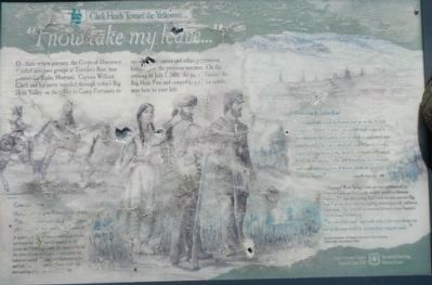
"I now take my leave..."
Clark Heads Toward the Yellowstone
"... Crossed this easterly branch and up on the N. Side of the middle fork 9 miles... passed through a gap of a mountain on the Easterly Side of which we encamped near some butifull (Springs) which fall into Willards Creek... I now take my leave of this butifull extensive vally which I call the hot spring Vally, and behold one less extensive and much more rigid on Willards Creek for near 12 miles in length." -- Captain W. Clark, July 7, 1806
Clark crossed Warm Spring Creek and went southeasterly up Governor Creek and Bull Creek, roughly parallel to Montana Highway 278. Just after passing Bull Creek, he went east over Big Hole Pass near the present day highway, following an old, well-worn Indian road. They traversed an estimated 164 miles from Traveler's Rest to Camp Fortunate on
"an excellent road. and with only few trees being cut out of the way would be an excellent wagon road..."
On July 5, 1806, Captain William Clark recorded,
"here I observed some fresh Indian signs where they had been gathering quamash."
A main vegetable and starchy food staple for the northwest Indians and used frequently by the Lewis and Clark Expedition, the camas bulb and the roots of cous or bitterroot were eaten raw, baked or roasted. During peak flowering in June and July (illegible) growths of camas color the surrounding meadows with a blueish tint.
Erected by Lewis & Clark Trail Heritage Foundation, Camp Fortunate Chapter U.S. Forest Service, Beaverhead-Deerlodge National Forest.
Topics and series. This historical marker is listed in these topic lists: Exploration • Roads & Vehicles. In addition, it is included in the Lewis & Clark Expedition series list. A significant historical date for this entry is July 7, 1806.
Location. 45° 19.698′ N, 113° 14.208′ W. Marker has been reported damaged. Marker is near Jackson, Montana, in Beaverhead County. Marker is on State Highway 278 near County Road 7482, on the right when traveling east. Touch for map. Marker is in this post office area: Jackson MT 59736, United States of America. Touch for directions.
Other nearby markers. At least 7 other markers are within 7 miles of this location, measured as the crow flies. Welcome to Hamilton Ranch (approx. 0.4 miles away); "Hot Spring Valley" (approx. 0.4 miles away); A Soul-Searching Birthday (approx. 0.4 miles away); "The Carroll Ranch" (approx. 0.4 miles away); Naturally Sustained Productivity (approx. 0.4 miles away); Undaunted Stewardship (approx. 0.4 miles away); The Way It Used To Be... Way Back (approx. 6˝ miles away).
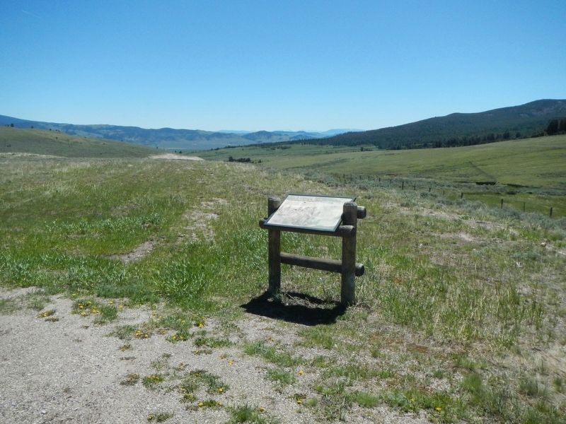
More about this marker. The marker is located at an overlook on the east side of Big Hole Pass.
Credits. This page was last revised on October 5, 2018. It was originally submitted on October 5, 2018, by Barry Swackhamer of Brentwood, California. This page has been viewed 333 times since then and 22 times this year. Photos: 1, 2. submitted on October 5, 2018, by Barry Swackhamer of Brentwood, California.

