Guanajuato, Mexico — The Central Highlands (North America)
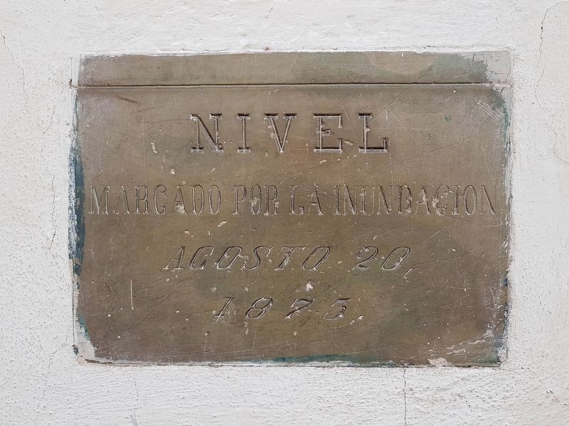
Guanajuato Flooding of 1873
Agosto 20, 1875
This was the level of the flooding of August 20, 1873
Topics. This historical marker is listed in this topic list: Disasters. A significant historical date for this entry is August 20, 1875.
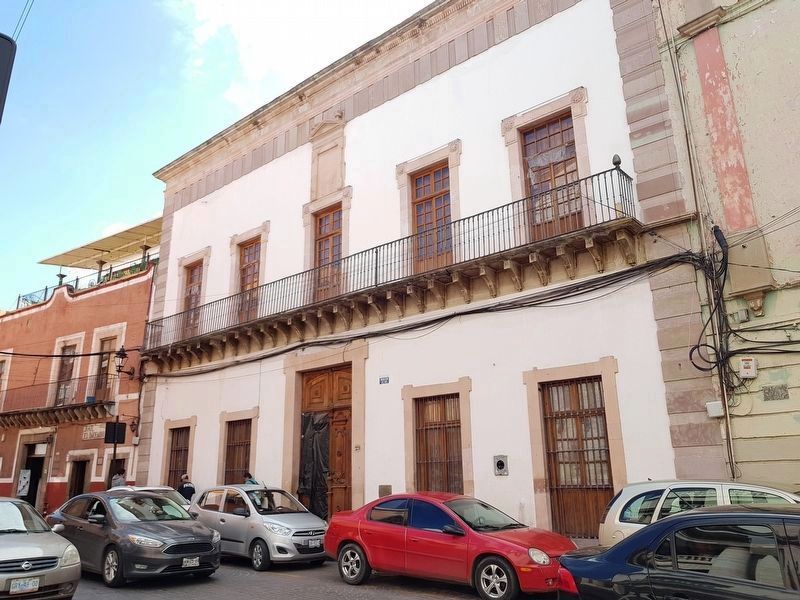
Location. 21° 0.941′ N, 101° 15.124′ W. Marker is in Guanajuato. Marker is at the intersection of Cantarranas and Subida Principal, on the left when traveling north on Cantarranas. Touch for map. Marker is at or near this postal address: Cantarranas 29, Guanajuato 36000, Mexico. Touch for directions.
Other nearby markers. At least 8 other markers are within walking distance of this marker. Puente de San Juan Nepomuceno (within shouting distance of this marker); Emma Godoy (within shouting distance of this marker); Admiral Federico Rómero Ceballos (within shouting distance of this marker); Minting House of the State of Guanajuato (within shouting distance of this marker); La Capellina (within shouting distance of this marker); Jardín Unión (within shouting distance of this marker); La Unión Garden (about 90 meters away, measured in a direct line); Plaza del Baratillo (about 90 meters away). Touch for a list and map of all markers in Guanajuato.
Credits. This page was last revised on October 6, 2018. It was originally submitted on October 6, 2018, by J. Makali Bruton of Accra, Ghana. This page has been viewed 149 times since then and 12 times this year. Photos: 1, 2. submitted on October 6, 2018, by J. Makali Bruton of Accra, Ghana.

