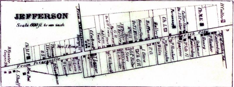
Jefferson in Frederick County, Maryland — The American Northeast (Mid-Atlantic)
The Jefferson Town Well
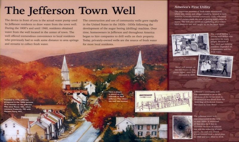
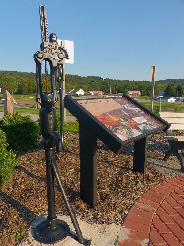
The device in front of you is the actual water pump used by Jefferson residents to draw water from the town well. During the 1800's and until 1960, residents obtained water from the well located in the center of town. The well offered tremendous convenience to local residents who previously had to walk some distance to area springs and streams to collect fresh water.
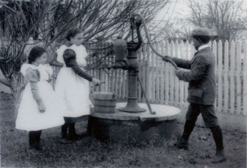
The construction and use of community wells grew rapidly in the United States in the 1820s-1830s following the development of the augur boring (drilling) machine. Over time, homeowners in Jefferson and throughout America began to hire companies to drill wells on their property. Today, privately-owned wells are the source of fresh water for most local residents.
America's First Utility
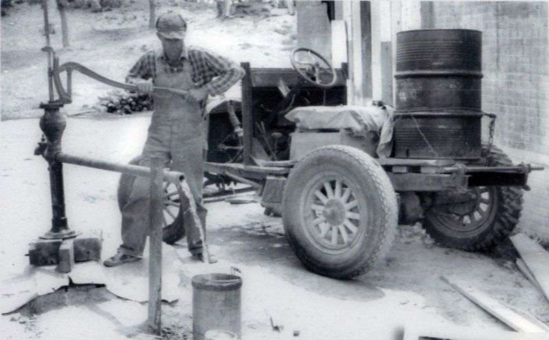
The important presence of fresh water determined where new towns and villages would be located in early America. Centrally-located community wells with hand cranked pumps made the task of getting water easier to access. The well also served as a gathering place where local residents met and caught up on the latest news.
Topics. This historical marker is listed in these topic lists: Charity & Public Work • Natural Resources • Waterways & Vessels.
Location. 39° 21.625′ N, 77° 31.876′ W. Marker is in Jefferson, Maryland, in Frederick County. Marker can be reached from Lander Road A. Touch for map. Marker is at or near this postal address: 4603 Lander Road A, Jefferson MD 21755, United States of America. Touch for directions.
Other nearby markers. At least 8 other markers are within 4 miles of this marker, measured as the crow flies. Honoring Our Veterans (a few steps from this marker); Jefferson (within shouting distance of this marker); Abraham Lakin 2nd (approx. 2.4 miles away); Shafer's Mill (approx. 3.9 miles away); Fall and Rise of an Aqueduct (approx. 3.9 miles away); Stones Reunited (approx. 3.9 miles away); Catoctin Aqueduct (approx. 3.9 miles away); Aqueduct Stones (approx. 3.9 miles away). Touch for a list and map of all markers in Jefferson.
Photographed By Allen C. Browne, October 5, 2018
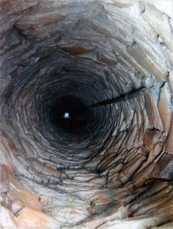
6. The Town Well
The Jefferson town well was constructed in the early to mid-18OOs. It measured 67 feet deep by 3 feet in diameter. Because of reduced use and the widening of Main Street, the well was closed. It was covered with a metal plate in 1960 and later filled in 2018. Close-up of photo on marker
Photographed By David Yontz, 1999
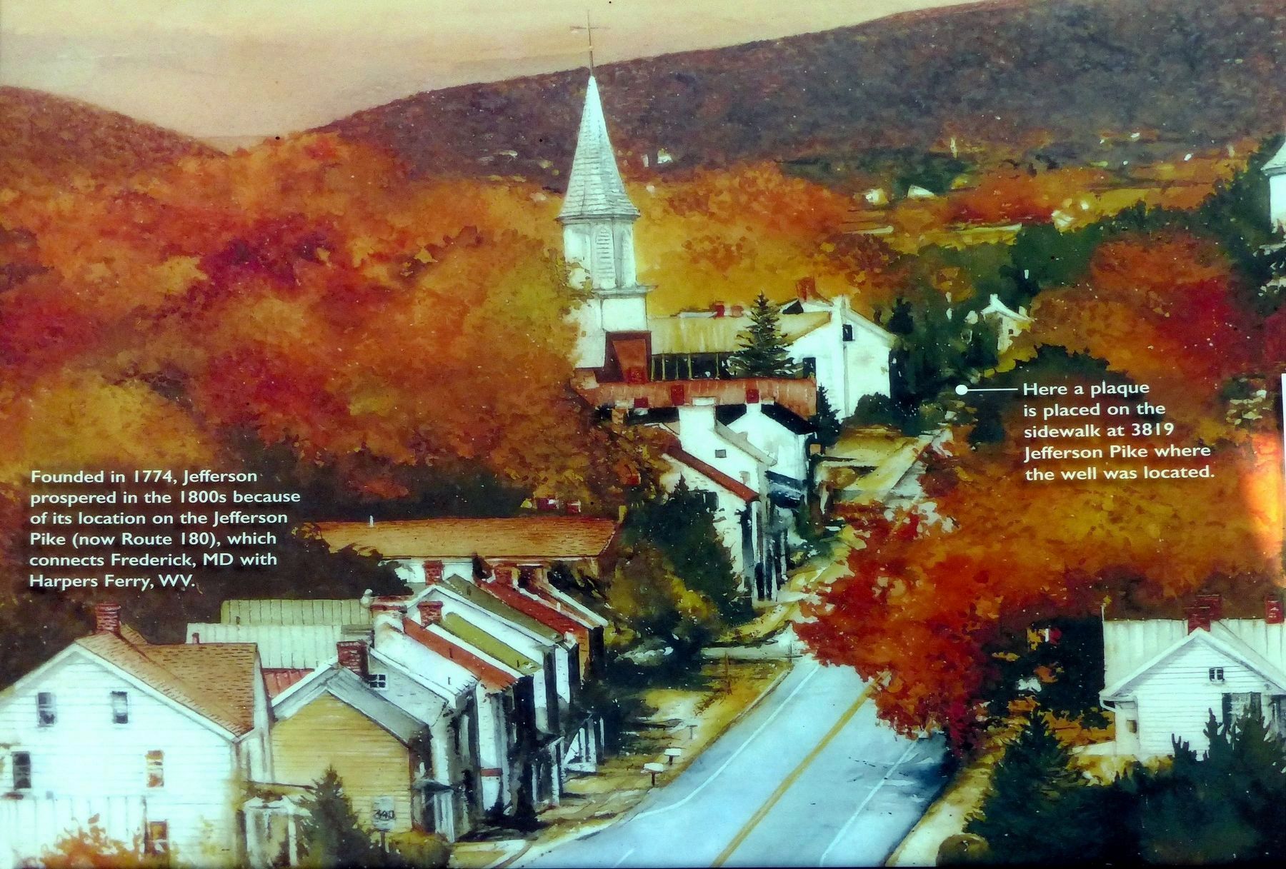
7. Jefferson
Founded in 1774, Jefferson prospered in the 1800s because of its location on the Jefferson Pike (now Route 180), which connects Frederick, MD with Harpers Ferry, WV.
Here a plaque is placed at 3819 Jefferson Pike where the well was located.Close-up of painting by David Yontz, 1999, on marker
Here a plaque is placed at 3819 Jefferson Pike where the well was located.
Credits. This page was last revised on September 28, 2020. It was originally submitted on October 9, 2018, by Allen C. Browne of Silver Spring, Maryland. This page has been viewed 231 times since then and 35 times this year. Photos: 1, 2, 3, 4, 5, 6, 7. submitted on October 9, 2018, by Allen C. Browne of Silver Spring, Maryland. • Andrew Ruppenstein was the editor who published this page.
