Near Kennedy Meadows in Tuolumne County, California — The American West (Pacific Coastal)
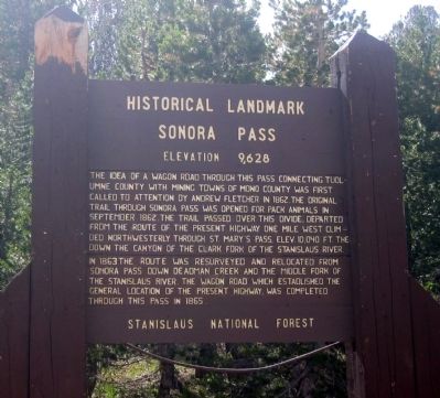
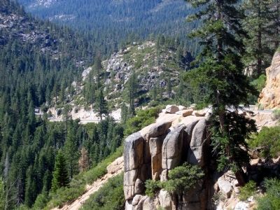
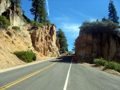
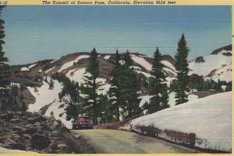
Sonora Pass
Elevation 9,628
— Historical Landmark —
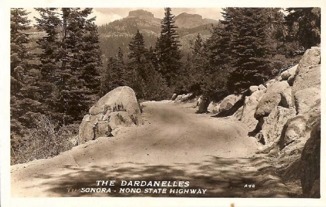
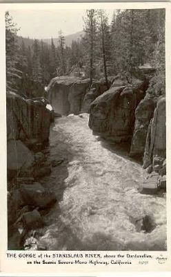
Then in 1863 the route was resurveyed and relocated from Sonora Pass, down Deadman Creek and the Middle Fork of the Stanislaus River. The wagon road which established the general location of the present highway was completed through the pass in 1865.
Erected by U.S. Forest Service, Stanislaus National Forest.
Topics. This historical marker is listed in these topic lists: Exploration • Industry & Commerce • Notable Places • Roads & Vehicles • Settlements & Settlers. A significant historical month for this entry is September 1862.
Location. 38° 19.722′ N, 119° 38.24′ W. Marker is near Kennedy Meadows, California, in Tuolumne County. Marker is on California Route 108 at milepost 0,, 15 miles west of U.S. 395, on the right when traveling east. This marker may only be seen during the late Spring, Summer or early Fall, as the highway is subject to winter closing. Touch for map. Marker is at or near this postal address: Tuolumne County/Mono County Line, Pinecrest CA 95364, United States of America. Touch for directions.
Other nearby markers. At least 8 other markers are within 14 miles of this marker, measured as the crow flies. Sonora Mono Toll Road (here, next to this marker); Following in their Footsteps - East Flange Rock (approx. 5.3 miles away); The Emigrants of 1852-1853 (approx. 6 miles away); Jewels of the High Country (approx. 6 miles away); Mountain Warfare Training Center (approx. 7 miles away); Hayes Station (approx. 7.9 miles away); Golden Gate Mine (approx. 14 miles away); a different marker also named Golden Gate Mine (approx. 14 miles away).
More about this marker. Two additional markers lie within 100 yards of this marker. One is the State Highway elevation and county line marker on the same side of the road. The other is Bodie Chapter 63, Matuca Chapter 1849, E Clampus Vitus placed on September 10, 1983 on the opposite side of the road 1oo feet up the slope. This latter marker is mentioned in the previously submitted Sonora Mono Toll Road Marker by Syd Whittle
Additional commentary.
1. Sonora Pass Trail
This pass is the oldest of the Sierra Nevada passes and is the second highest at 9,616 feet. Its history actually begins in Missouri in May 1841 when a group set out for California. They elected John Bartleson as Captain and 20 year old John Bidwell as Secretary. While traveling on the Sante Fe Trail they met up with a group of missionaries headed for Oregon and joined with them. After hearing from trappers that wagons would never make it over the Sierra Mountain Range, the party split up. While the majority of married couples and families continued on to Oregon, 30 single men, Benjamin Kelsey, his young wife, and infant son continued on to California.
After abandoning their wagons in the Nevada desert they moved on with oxen, horses and mules. Reaching the Humbolt River they followed it until reaching the Walker River and the east slopes of the Sierra Nevada.
On October 18th they crossed the Sierra without much trouble about 8 miles south of this marker, but soon found themselves in the rugged Stanislaus River Canyon. After a tremendous struggle they finally made it to the San Joaquin Valley and moved on to their destination – The ranch of John Marsh at the base of Mt. Diablo.
Several members of this party became important names in California history. Bidwell became a wealthy rancher and political figure, even running for President in 1892 on the Prohibition ticket. Charles Weber also became wealthy and founded the City of Stockton (see: http://www.hmdb.org/marker.asp?marker=24219), Joseph Stiles returned east to lead other groups to California and became a rancher. Benjamin and Nancy Kelsey moved around in the west, but his brother Andrew settled in Lake County and the town of Kelseyville is named after him. He was eventually slain by Indians working for him on his ranch (see: http://www.hmdb.org/marker.asp?marker=1190).
An infamous member of the party, Talbot H. Green, carried a large chunk of what appeared to “lead” with him. He was forced to leave this “lead” in the Nevada desert. Soon after their safe arrival in California, Green returned to find his cache which turned out to be something other than lead. He returned to San Francisco and spent money freely, married and even ran for mayor. It was later revealed that he was actually Paul Geddes, a married bank clerk from the East who had embezzled from the bank and deserted his family. Geddes, aka Green, sailed for the East to “clear his name”, but was never heard from again. Green Street in San Francisco is named after him
— Submitted December 8, 2009, by Syd Whittle of Mesa, Arizona.
Credits. This page was last revised on May 4, 2020. It was originally submitted on September 29, 2008, by Syd Whittle of Mesa, Arizona. This page has been viewed 3,048 times since then and 57 times this year. Last updated on October 14, 2008, by Richard Wisehart of Sonora, California. Photos: 1, 2, 3, 4. submitted on September 29, 2008, by Syd Whittle of Mesa, Arizona. 5. submitted on October 28, 2008, by Syd Whittle of Mesa, Arizona. 6. submitted on October 5, 2008, by Syd Whittle of Mesa, Arizona. 7. submitted on May 4, 2020, by Syd Whittle of Mesa, Arizona. • Craig Swain was the editor who published this page.
