St. Charles in St. Charles County, Missouri — The American Midwest (Upper Plains)
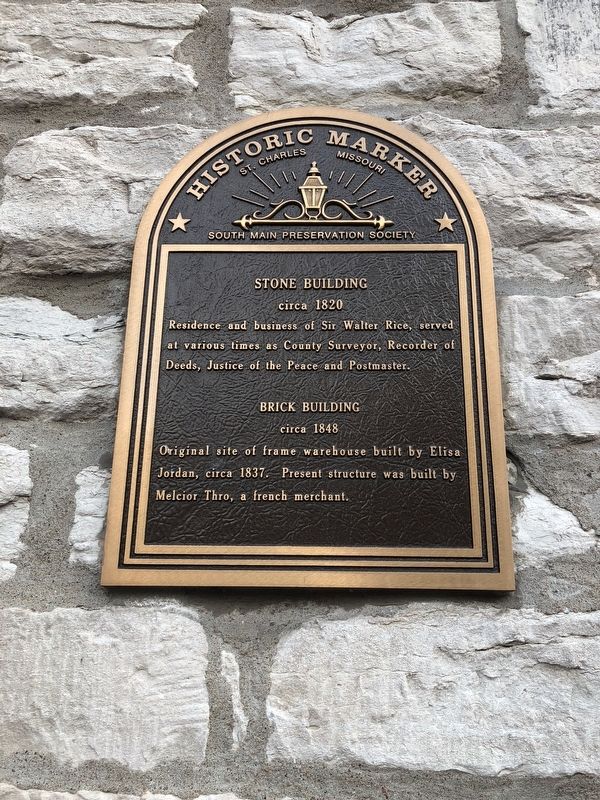
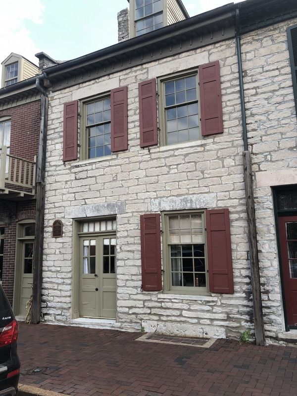
Stone Building / Brick Building
Historic Marker
— St. Charles, Missouri —
circa 1820
circa 1848
Erected by South Main Preservation Society.
Topics. This historical marker is listed in these topic lists: Architecture • Government & Politics • Industry & Commerce. A significant historical year for this entry is 1820.
Location. 38° 46.748′ N, 90° 28.943′ W. Marker is in St. Charles, Missouri, in St. Charles County. Marker is on South Main Street south of First Capitol Drive, on the right when traveling north. Touch for map. Marker is at or near this postal address: 324 South Main Street, Saint Charles MO 63301, United States of America. Touch for directions.
Other nearby markers. At least 8 other markers are within walking distance of this marker. Stone Row (a few steps from this marker); Home of Dr. Jeremiah Millington (within shouting distance of this marker); Secretary of State William Grymes Pettus (within shouting distance of this marker); Home of Seth Millington (within shouting distance of this marker); St. Charles Borromeo Log Church (within shouting distance of this marker); First Missouri State Capitol Buildings (about 400 feet away, measured in a direct line); History of 426 South Main Street (about 500 feet away); 136 South Main (about 500 feet away). Touch for a list and map of all markers in St. Charles.
Credits. This page was last revised on October 15, 2018. It was originally submitted on October 13, 2018, by Devry Becker Jones of Washington, District of Columbia. This page has been viewed 183 times since then and 23 times this year. Photos: 1, 2. submitted on October 13, 2018, by Devry Becker Jones of Washington, District of Columbia. • Andrew Ruppenstein was the editor who published this page.

