Downtown in St. Louis, Missouri — The American Midwest (Upper Plains)
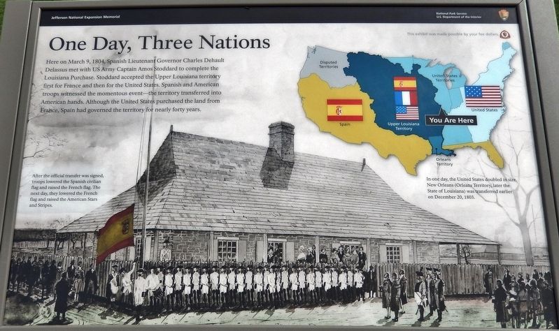
One Day, Three Nations
After the official transfer was signed, troops lowered the Spanish civilian flag and raised the French flag. The next day, they lowered the French flag and raised the American Stars and Stripes.
In one day, the United States doubled in size. New Orleans (Orleans Territory, later the State of Louisiana) was transferred earlier on December 20, 1803.
Erected by National Park Service, U.S. Department of the Interior.
Topics. This historical marker is listed in these topic lists: Colonial Era • Government & Politics • Notable Events. A significant historical date for this entry is March 9, 1804.
Location. 38° 37.4′ N, 90° 11.147′ W. Marker is in St. Louis, Missouri. It is in Downtown. Marker can be reached from Walnut Street east of Memorial Drive when traveling east . Marker is located on the Gateway Arch trail, just south of the arch, in Jefferson National Expansion Memorial Park. Touch for map. Marker is in this post office area: Saint Louis MO 63102, United States of America. Touch for directions.
Other nearby markers. At least 8 other markers are within walking distance of this marker. Freedom Denied, Freedom Gained (within shouting distance of this marker); Traders and Tribes (within shouting distance of this marker); Commercial Beginnings (within shouting distance of this marker); First Conference, Society of Saint Vincent de Paul (about 500 feet away, measured in a direct line); Church Domain (about 500 feet away); Basilica of Saint Louis, King (about 500 feet away); An Explosion Saves The City (about 600 feet away); In Memory of Robert E. Lee (about 600 feet away). Touch for a list and map of all markers in St. Louis.
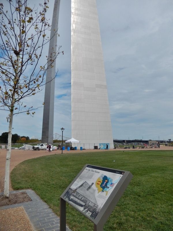
More about this marker. Marker is a large composite plaque, mounted horizontally on waist-high posts.
Also see . . . Jefferson Buys Louisiana Territory, and the Nation Moves Westward. The historic transaction is known as the Louisiana Purchase, but it was not something that Jefferson had sought to make at the time. He would have been content just to buy the port of New Orleans so the United States — not Spain, not France, certainly not Great Britain — could control the gateway to the Mississippi River, the main street of commerce in what was then the American West. But France's ruler at the time, Napoleon Bonaparte, was
losing interest in establishing a North American empire and needed funds to fight the British, so he directed his emissaries to offer not just New Orleans but all of the Louisiana Territory to the Americans. Jefferson's envoys in Paris, without awaiting any direction from their President (which would have taken two months), accepted the deal and on April 30, 1803, signed the Louisiana Purchase Treaty. (Submitted on August 28, 2018, by Cosmos Mariner of Cape Canaveral, Florida.)
Credits. This page was last revised on January 30, 2023. It was originally submitted on August 28, 2018, by Cosmos Mariner of Cape Canaveral, Florida. This page has been viewed 264 times since then and 20 times this year. Last updated on October 15, 2018, by Devry Becker Jones of Washington, District of Columbia. Photos: 1, 2. submitted on August 28, 2018, by Cosmos Mariner of Cape Canaveral, Florida. • Andrew Ruppenstein was the editor who published this page.

