Downtown in St. Louis, Missouri — The American Midwest (Upper Plains)
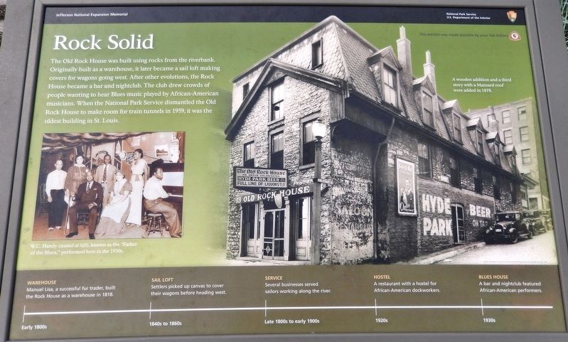
Rock Solid
Warehouse (early 1800s)
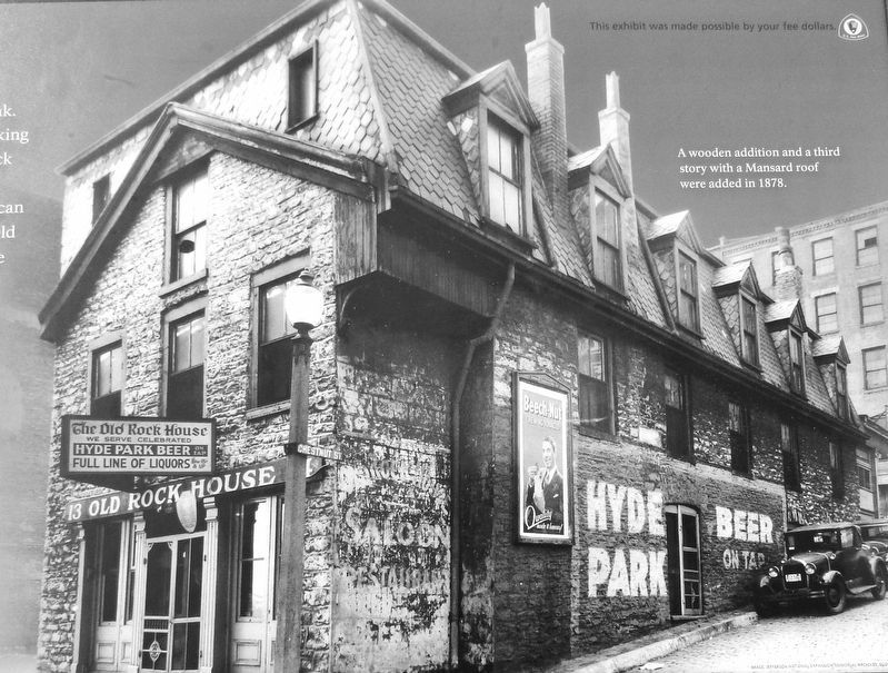
Manuel Lisa, a successful fur trader, built the Rock House as a warehouse in 1818.
Sail Loft (1840s to 1860s)
Settlers picked up canvas to cover their wagons before heading west.
Service (Late 1800s to early 1900s)
Several businesses served sailors working along the river.
Hostel (1920s)
A restaurant with a hostel for African-American dockworkers.
Blues House (1930s)
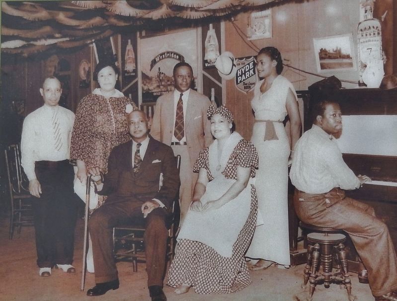
A bar and nightclub featured African-American performers.
Erected by National Park Service, U.S. Department of the Interior.
Topics. This historical marker is listed in these topic lists: African Americans • Arts, Letters, Music • Industry & Commerce • Settlements & Settlers. A significant historical year for this entry is 1818.
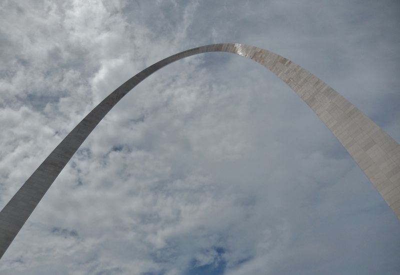
Location. 38° 37.486′ N, 90° 11.035′ W. Marker is in St. Louis, Missouri. It is in Downtown. Marker is on North Leonor K Sullivan Boulevard, half a mile south of Laclede's Landing Boulevard, on the right when traveling south. Marker is located on the west side of North Leonor K Sullivan Boulevard, at the base of the staircase leading up to the Gateway Arch. Touch for map. Marker is in this post office area: Saint Louis MO 63102, United States of America. Touch for directions.
Other nearby markers. At least 8 other markers are within walking distance of this marker. August 1, 1993 (a few steps from this marker); In Memory of Robert E. Lee (about 300 feet away, measured in a direct line); Pierre Laclede (about 300 feet away); The Gateway Arch (about 300 feet away); Miles of Steamboats (about 300 feet away); Commercial Beginnings (about 600 feet away); Traders and Tribes (about 600 feet away); Freedom Denied, Freedom Gained (about 600 feet away). Touch for a list and map of all markers in St. Louis.
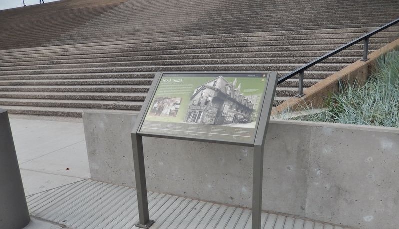
More about this marker. Marker is a large composite plaque, mounted horizontally on waist-high posts.
Also see . . .
1. The Arch Grounds and the Old Rock House. (This link includes historic 1940 photos of the Old Rock House, Third Street, and Chestnut Street.) The sign on the front door of the small stone building informed the public and the demolition contractor for the Jefferson National Expansion Memorial that the Old Rock House was the property
of the United States government. The National Park Service had purchased the building (an 1818 warehouse built by Manuel Lisa) in 1936. By November of 1940, the last tenants were evicted and a $22,410 Works Project Administration grant had been obtained to help turn the venerable structure into a "museum of the historic St. Louis fur trade." (Submitted on August 28, 2018, by Cosmos Mariner of Cape Canaveral, Florida.)
2. The Old Rock House, built 1818. The building survived the Great Fire in 1849 and the massive demolition of the riverfront that began in 1939 to make way for the Jefferson National Expansion Memorial. Workers removed the roof and other ad-ons, but dismantled it in 1959 to await permanent reassembly at a site nearby. Most of the stones were lost or stolen. Some are on display in the Old Courthouse, and the rest of what's left are in storage. The Rock House was at 13-14 North Front Street, later called Wharf Street and now known as Leonor K. Sullivan Boulevard. (Submitted on August 28, 2018, by Cosmos Mariner of Cape Canaveral, Florida.)
3. Manuel Lisa. Manuel Lisa was a Spanish citizen and later, became an American citizen who, while living on the western frontier, became a land owner, merchant, fur trader, United States Indian agent, and explorer. Lisa was among the founders, in St. Louis, of the Missouri Fur Company, an early fur trading company. In 1799, Manuel Lisa requested a land grant "upon one of the banks
of the River Missouri, in a place where may be found some small creek emptying into the said river, in order to facilitate the raising of cattle, and, with time, to be able to make shipments of salted and dried meat to the capital. After being awarded the grant, Manuel Lisa and his wife relocated to St. Louis, where they purchased a home on Second Street near the Mississippi River. (Submitted on August 28, 2018, by Cosmos Mariner of Cape Canaveral, Florida.)
Credits. This page was last revised on January 30, 2023. It was originally submitted on August 27, 2018, by Cosmos Mariner of Cape Canaveral, Florida. This page has been viewed 512 times since then and 47 times this year. Last updated on October 15, 2018, by Devry Becker Jones of Washington, District of Columbia. Photos: 1, 2, 3, 4, 5. submitted on August 28, 2018, by Cosmos Mariner of Cape Canaveral, Florida. • Andrew Ruppenstein was the editor who published this page.
