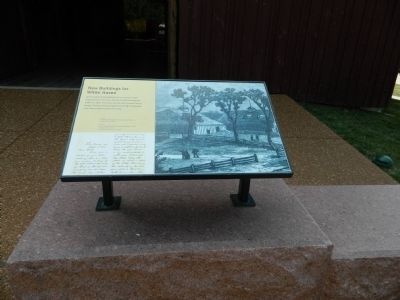
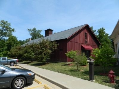
New Buildings for White Haven
Ulysses S. Grant National Historic Site
Letter from Grant to his caretaker, William Elrod September 4, 1871.
Topics and series. This historical marker is listed in these topic lists: Agriculture • Animals. In addition, it is included in the Former U.S. Presidents: #18 Ulysses S. Grant series list. A significant historical date for this entry is September 4, 1864.
Location. 38° 33.125′ N, 90° 21.094′ W. Marker is near Affton, Missouri, in St. Louis County. Marker can be reached from Grant Road. Touch for map. Marker is at or near this postal address: 7400 Grant Road, Saint Louis MO 63123, United States of America. Touch for directions.
Other nearby markers. At least 8 other markers are within walking distance of this marker. Slaves Only (here, next to this marker); The Roads to White Haven (here, next to this marker); The White Haven Estate: Other Houses (here, next to this marker); The Working Farm (here, next to this marker); Early Owners of the Farm (here, next to this marker); White Haven's Outbuildings (here, next to this marker); Green Haven? (here, next to this
Credits. This page was last revised on April 24, 2020. It was originally submitted on September 3, 2012, by Bill Pfingsten of Bel Air, Maryland. This page has been viewed 374 times since then and 13 times this year. Last updated on October 15, 2018, by Devry Becker Jones of Washington, District of Columbia. Photos: 1, 2. submitted on September 3, 2012, by Bill Pfingsten of Bel Air, Maryland. • Andrew Ruppenstein was the editor who published this page.

