St. Simons Island in Glynn County, Georgia — The American South (South Atlantic)
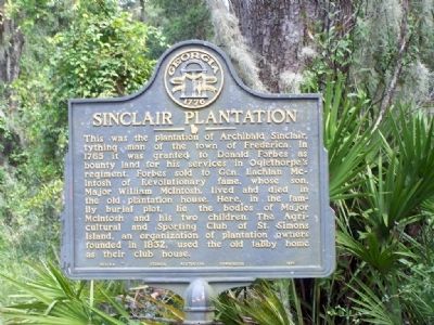
Sinclair Plantation
This was the plantation of Archibald Sinclair, tything man of the town of Frederica. In 1765 it was granted to Donald Forbes as bounty land for his services in Oglethorpe's regiment. Forbes sold to Gen. Lachlan McIntosh of Revolutionary War fame, whose son, Major William McIntosh, lived and died in the old plantation house. Here, in the family burial plot, lie the bodies of Major McIntosh and his two children. The Agricultural and Sporting Club of St. Simons Island, an organization of plantation owners founded in 1832, used the old tabby home as their club house.
Erected 1954 by Georgia Historical Commission. (Marker Number 063-4A.)
Topics and series. This historical marker is listed in these topic lists: Colonial Era • Settlements & Settlers. In addition, it is included in the Georgia Historical Society series list. A significant historical year for this entry is 1765.
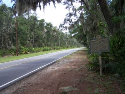
Location. 31° 14.142′ N, 81° 21.337′ W. Marker is on St. Simons Island, Georgia, in Glynn County. Marker is on Lawrence Road, 1.8 miles north of Frederica Road, on the right when traveling north. Touch for map. Marker is in this post office area: Saint Simons Island GA 31522, United States of America. Touch for directions.
Other nearby markers. At least 8 other markers are within 2 miles of this marker, measured as the crow flies. Pike's Bluff (approx. 0.3 miles away); German Village (approx. 0.6 miles away); Cannon's Point Plantation (approx. 1.2 miles away); Harrington Hall (approx. 1.2 miles away); Hampton Plantation (approx. 1.3 miles away); The Georgia Navy (approx. 2 miles away); William Bartram Trail (approx. 2 miles away); St. Simons Island (approx. 2.1 miles away). Touch for a list and map of all markers in St. Simons Island.
Regarding Sinclair Plantation. Sinclair Plantation took its name from its original owner, Archibald Sinclair, a tithingman of Frederica. The property changed hands often over the years, and the plantation house served as a meeting place for the Sinclair Club, the scene of many a gala affair. Sinclair at one time was occupied by Captain Alexander Wylly, a former British officer who later built a home on the site of the colonial Salzburger settlement, or German Village as it was called. His plantation of over a thousand acres became known simply as "The Village." In 1838, Wylly's youngest son, John, was killed in a boundary dispute by Dr. Thomas Hazzard of Pike's Bluff Plantation,( across the road ).
Credits. This page was last revised on November 25, 2020. It was originally submitted on October 15, 2008, by Mike Stroud of Bluffton, South Carolina. This page has been viewed 2,490 times since then and 55 times this year. Photos: 1, 2. submitted on October 15, 2008, by Mike Stroud of Bluffton, South Carolina. • Craig Swain was the editor who published this page.

