Bountiful in Davis County, Utah — The American Mountains (Southwest)
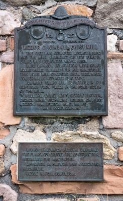
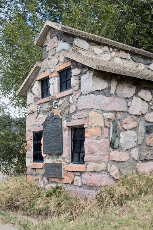
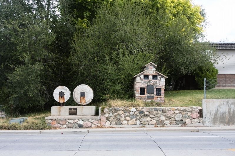
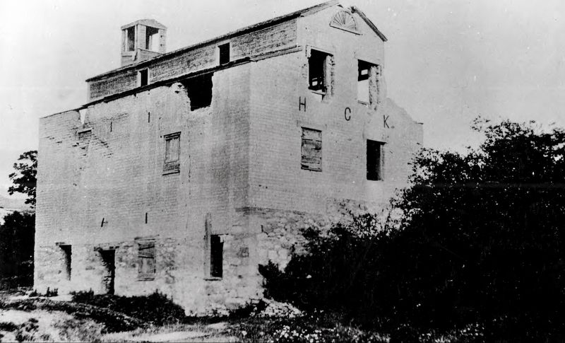
Heber C. Kimball Grist Mill
Built on rock foundation with solid adobe walls trimmed with red sandstone, this Burr mill operated until 1892, when roller mills replaced this type.
For many years all Bountiful ward baptisms took place in the pond south of the mill.
Millers; Daniel Davis, George Lincoln, George Winn, Richmond Louder, Charles Adcock, Wm. Adcock, Wm. D. Major.
Bishop Frederick Kesler, designed the plans, supervised the construction, installed the machinery.
Appleton M. Harmon, was associated machinest.
Jesse W. Fox, surveyor.
Erected 1937 by Davis County Company, Daughters of Utah Pioneers. (Marker Number 25.)
Topics and series. This historical marker is listed in these topic lists: Churches & Religion • Industry & Commerce. In addition, it is included in the Daughters of Utah Pioneers series list. A significant historical date for this entry is May 6, 1853.
Location. 40° 52.81′ N, 111° 52.371′ W. Marker is in Bountiful, Utah, in Davis County. Marker is at the intersection of Orchard Drive and Mill Street, on the right when traveling north on Orchard Drive. Touch for map. Marker is in this post office area: Bountiful UT 84010, United States of America. Touch for directions.
Other nearby markers. At least 8 other markers are within 6 miles of this marker, measured as the crow flies. Original Gristmill Stones (a few steps from this marker); Daniel Davis (a few steps from this marker); Heber C. Kimball (a few steps from this marker); George Quinn McNeil (a few steps from this marker); Bountiful Tabernacle (approx. 0.7 miles away); The Valley (approx. 5.9 miles away); The Summit (approx. 6 miles away); Ensign Peak (approx. 6 miles away). Touch for a list and map of all markers in Bountiful.
Credits. This page was last revised on October 19, 2018. It was originally submitted on October 18, 2018, by Andrew Johnson of Salt Lake City, Utah. This page has been viewed 431 times since then and 49 times this year. Photos: 1, 2, 3. submitted on October 18, 2018, by Andrew Johnson of Salt Lake City, Utah. 4. submitted on October 19, 2018. • Andrew Ruppenstein was the editor who published this page.


