Forest Hill in Rapides Parish, Louisiana — The American South (West South Central)
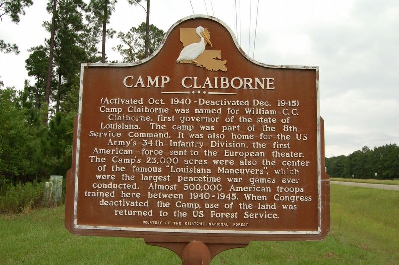
Camp Claiborne
(Activated Oct. 1940 - Deactivated Dec. 1945)
Camp Claiborne was named for William C. C. Claiborne, first governor of the state of Louisiana. The camp was part of the 8th Service Command. It was also home for the US Army's 34th Infantry Division, the first American force sent to the European theater. The Camp's 23,000 acres were also the center of the famous "Louisiana Maneuvers", which were the largest peacetime war games ever conducted. Almost 500,000 American troops trained here between 1940-1945. When Congress deactivated the Camp, use of the land was returned to the US Forest Service.
Erected by Kisatchie National Forest.
Topics. This historical marker is listed in these topic lists: Military • Notable Places • War, World II.
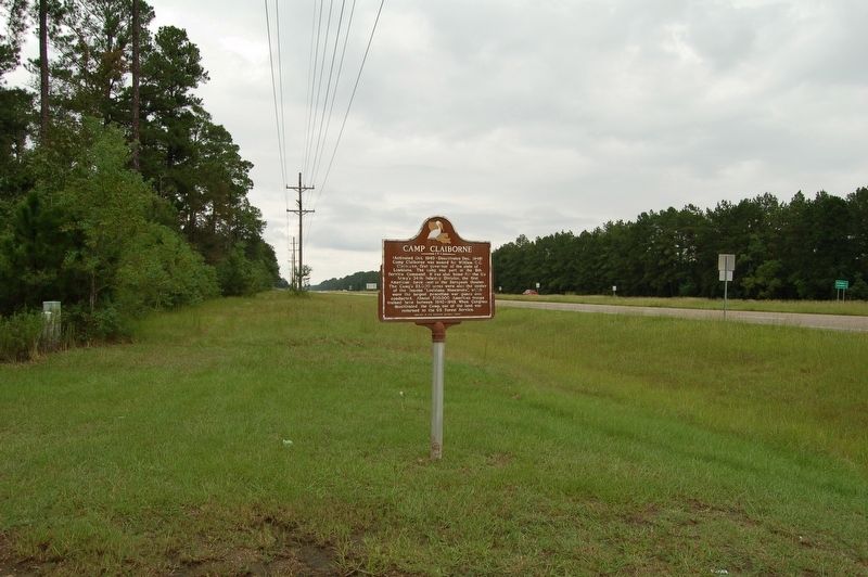
Location. 31° 4.384′ N, 92° 31.293′ W. Marker is in Forest Hill, Louisiana, in Rapides Parish. Marker is at the intersection of U.S. 165 and State Highway 112, on the right when traveling south on U.S. 165. Touch for map. Marker is in this post office area: Forest Hill LA 71430, United States of America. Touch for directions.
Other nearby markers. At least 8 other markers are within 5 miles of this marker, measured as the crow flies. A different marker also named Camp Claiborne (about 300 feet away, measured in a direct line); African -American Soldiers at Camp Claiborne (about 300 feet away); Camp Claiborne, LA (about 300 feet away); Training At Camp Claiborne / Life At Camp Claiborne (about 300 feet away); Central Louisiana's Role in World War II (about 300 feet away); a different marker also named Camp Claiborne (approx. 0.9 miles away); Locomotive Graveyard (approx. 5 miles away); Clyde Log Skidder (approx. 5 miles away). Touch for a list and map of all markers in Forest Hill.
Credits. This page was last revised on October 19, 2018. It was originally submitted on October 19, 2018, by Cajun Scrambler of Assumption, Louisiana. This page has been viewed 240 times since then and 17 times this year. Photos: 1, 2, 3. submitted on October 19, 2018.


