Ticonderoga in Essex County, New York — The American Northeast (Mid-Atlantic)
The Power of Water
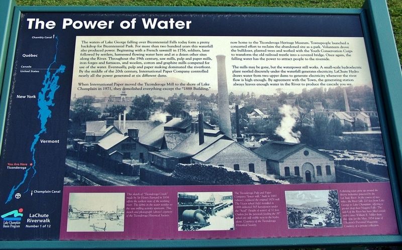
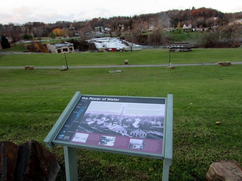
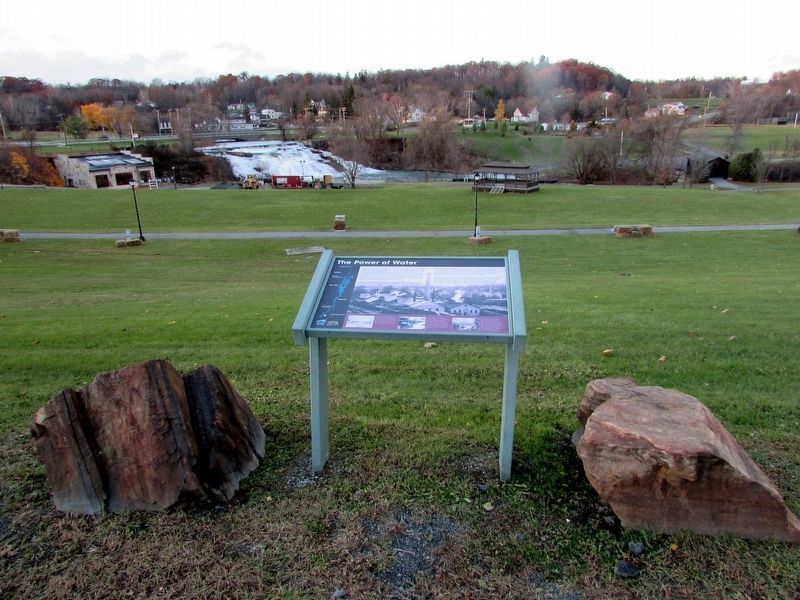
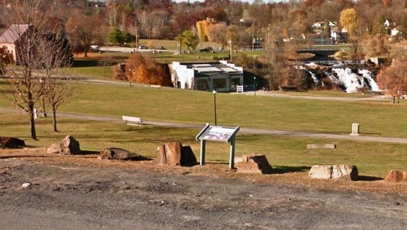
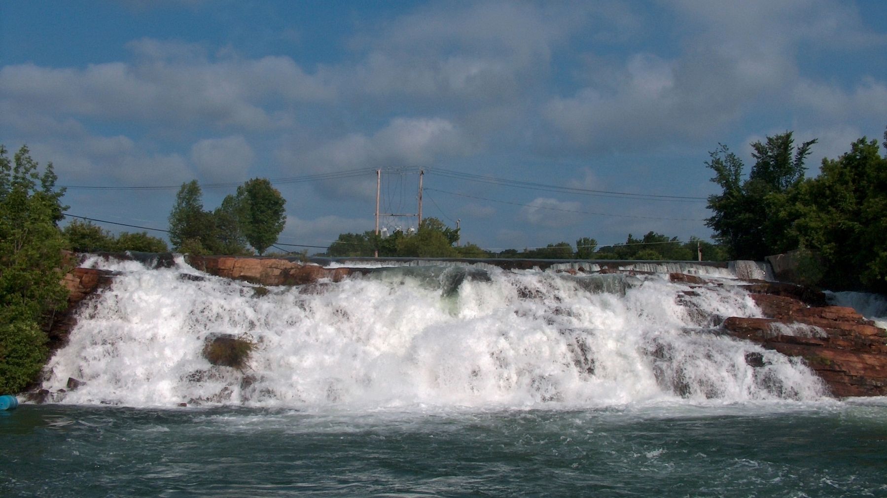
The waters of Lake George falling over Bicentennial Falls today form a pretty backdrop for Bicentennial Park. For more than two hundred years this waterfall also produced power. Beginning with a French sawmill in 1756, soldiers, later followed by settlers, harnessed flowing water here and at a dozen other sites along the River. Throughout the 19th century, saw mills, pulp and paper mills, iron forges and furnaces, and woolen, cotton and graphite mills competed for use of the water. Eventually, pulp and paper making dominated the riverfront. By the middle of the 20th century, International Paper Company controlled nearly all the power generated at six different dams.
When International Paper moved the Ticonderoga Mill to the shore of Lake Champlain in 1971, they demolished everything except the “1888 Building,” now home to the Ticonderoga Heritage Museum. Townspeople launched a concerted effort to reclaim the abandoned site as a park. Volunteers drove the bulldozer, planted trees and worked with the Youth Conservation Corps to transform the old railroad trestle into a covered bridge. Once again, the falling water has the power to attract people to the riverside.
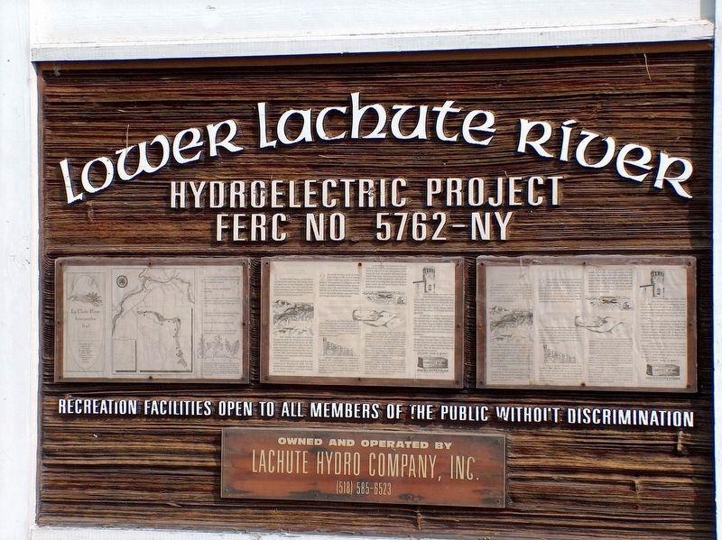
The mills may be gone, but the waterpower still works. A small-scale hydroelectric plant nestled discretely under the waterfall generates electricity. LaChute Hydro draws water from two upper dams to generate electricity whenever the river flow is high enough. By agreement with the Town, the generating station always leaves enough water in the River to produce the cascade you see.
- photograph captions -
This sketch of “Ticonderoga Creek” made by Sir Henry Barnard in 1838 offers the earliest view of the working river. The debris in the water testifies to the saw milling activity upstream.
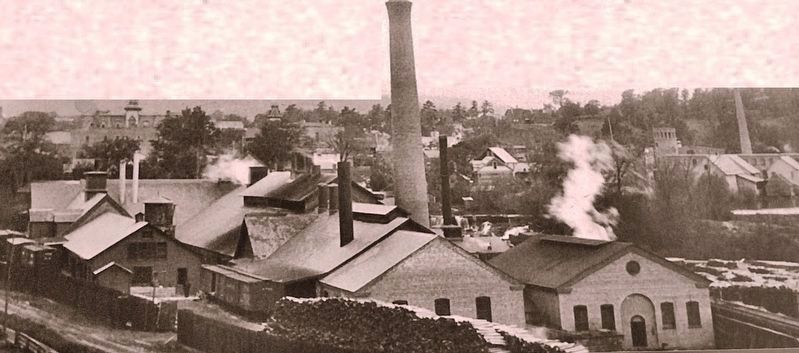
The Ticonderoga Pulp and Paper Company “lower mill,” built in 1883 replaced the original 1878 mill. The Victor wheel installed in 1898 delivered 565 horsepower under the “head” (height of water) of 32 feet. Outlets for the penstock feeding the 39” wheel are still visible next to the hydro plant.
A thriving town grew up around the diverse industries powered by the La Chute River. In the course of two mile, the River falls 220 feet from Lake George to Lake Champlain, offering a greater drop than Niagara Falls. The width of the River has been filled considerably since William R. Miller drew this view in the May, 1854 issue of Gleason’s Pictorial Magazine.
Erected by La Chute Riverwalk Interpretive Trail. (Marker Number 1.)
Topics. This historical marker is listed in these topic lists: Industry & Commerce • Settlements & Settlers • Waterways & Vessels.
Location. 43° 50.882′ N, 73° 25.153′ W. Marker is in Ticonderoga, New York, in Essex County. Marker is at the intersection of Montcalm Street (New York State Route 74) and Cannonball Path, on the right when traveling west on Montcalm Street. Marker is located beside the parking lot, on the north side of the street, in Ticonderoga's Bicentennial Park. Touch for map. Marker is at or near this postal address: 137 Montcalm Street, Ticonderoga NY 12883, United States of America. Touch for directions.
Other nearby markers. At least 8 other markers are within walking distance of this marker. Sharing the Flow (about 500 feet away, measured in a direct line); Grand Carry Landing (about 600 feet away); Rivière de La Chute (about 600 feet away); Lakes to Locks Passage (about 700 feet away); a different marker also named Lakes to Locks Passage (about 700 feet away); Tower Avenue Grindstones (about 700 feet away); A Way to the World (about 800 feet away); Samuel De Champlain (approx. 0.2 miles away). Touch for a list and map of all markers in Ticonderoga.
More about this marker. This marker is a large composite plaque mounted horizontally on waist-high posts.
Related markers. Click here for a list of markers that are related to this marker. La Chute Riverwalk, Ticonderoga Bicentennial Park
Also see . . .
1. Upper Dam Falls. Northern New York Waterfalls website entry:
The La Chute River serves as the outlet from Lake George to Lake Champlain. It is entirely contained within the town of Ticonderoga. Depending upon the source, or where you start and end your measurement, it is only three to four miles long. A number of dams have been constructed over the years through this stretch. At most of them, there is still a waterfall below the dam. Some of these still involve active hydro-electric plants. The International Paper Company at one time ran a number of mills located at the sites of dams and falls along this stretch of the LaChute River. (Submitted on October 20, 2018, by Cosmos Mariner of Cape Canaveral, Florida.)
2. Ticonderoga – A Short History. Town website entry (Submitted on March 5, 2024, by Larry Gertner of New York, New York.)
Credits. This page was last revised on March 5, 2024. It was originally submitted on October 20, 2018, by Cosmos Mariner of Cape Canaveral, Florida. This page has been viewed 330 times since then and 29 times this year. Photos: 1, 2. submitted on October 20, 2018, by Cosmos Mariner of Cape Canaveral, Florida. 3, 4. submitted on November 11, 2018, by Bill Coughlin of Woodland Park, New Jersey. 5, 6, 7. submitted on October 20, 2018, by Cosmos Mariner of Cape Canaveral, Florida. • Andrew Ruppenstein was the editor who published this page.
