Ticonderoga in Essex County, New York — The American Northeast (Mid-Atlantic)
Sharing the Flow
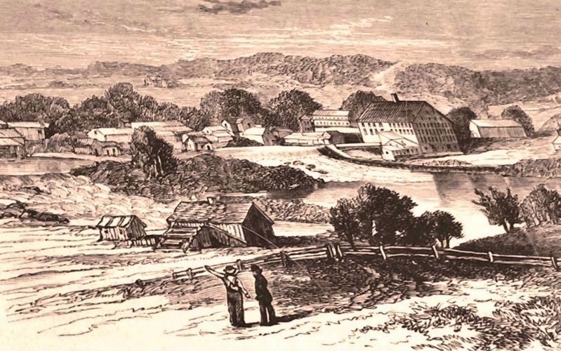
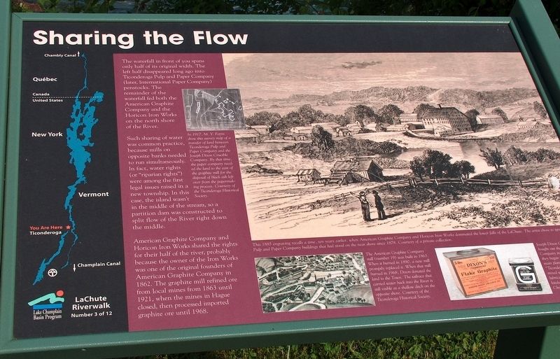
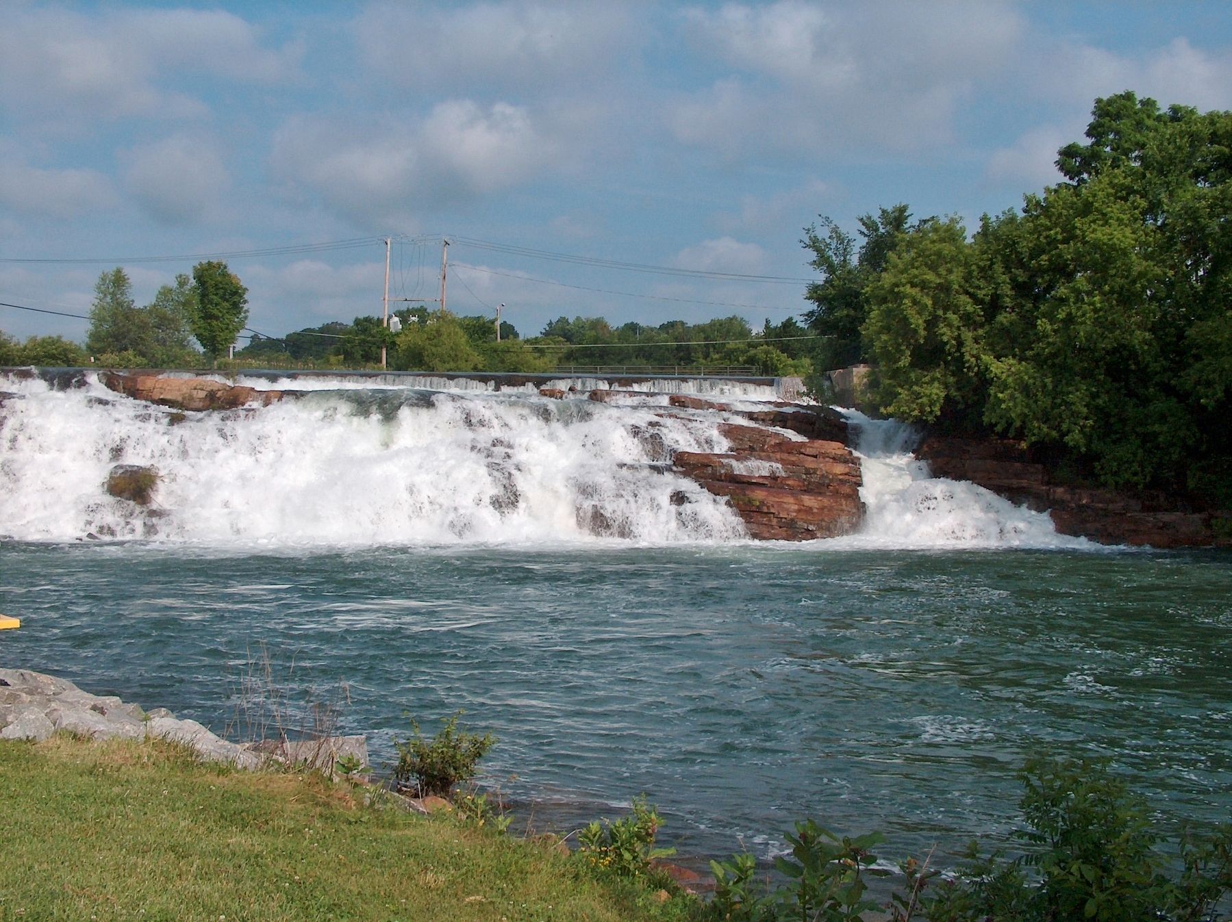
The waterfall in front of you spans only half of its original width. The left half disappeared long ago into Ticonderoga Pulp and Paper Company (later, International Paper Company) penstocks. The remainder of the waterfall fed both the American Graphite Company and the Horicon Iron Works on the north shore of the River.
Such sharing of was common practice because mills on opposite banks needed to run simultaneously. In fact, water rights (or “riparian rights”) were among the first legal issues raised in a new township. In this case, the island wasn't in the middle of the stream, so a partition dam was constructed to split flow of the River right down the middle.
American Graphite Company and Horicon Iron Works shared the rights for their half of the river, probably because the owner in of the Iron Works was one of the original founders of American Graphite Company in 1862. The graphite mill refined ore from local mines from 1863 until 1921, when the mines in Hague closed, then processed imported graphite ore until 1968.
- Photograph captions -
In 1917, M. Y. Ferris drew this survey map of a transfer of land between Ticonderoga Pulp and Paper Company and the Joseph Dixon Crucible Company. By that time, the power company needed the land to the east of the graphite mill for the disposal of black ash left over from the papermaking process.
The American Graphite Company mill (number 19) was built in 1863. When it burned in 1890, a new mill promptly replaced it. When that mill burned in 1968, Dixon donated the land to the Town. The tailrace that carried water back into the River is still visible as a shallow ditch on the opposite shore.
Joseph Dixon Crucible Company bought out the American Graphite Company in 1873, the same year they began to make pencils in their main plant in New Jersey. This “Ticonderoga Flake Graphite” was mixed with grease of oil to improve lubrication of bearings or gears in all kinds of machinery.
Erected by La Chute Riverwalk Interpretive Trail. (Marker Number 3.)
Topics. This historical marker is listed in these topic lists: Industry & Commerce • Parks & Recreational Areas • Settlements & Settlers • Waterways & Vessels.
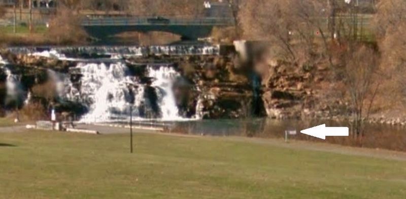
Location. 43° 50.956′ N, 73° 25.177′ W. Marker is in Ticonderoga, New York, in Essex County. Marker can be reached from the intersection of Montcalm Street (Route 74) and Cannonball Path, on the right when traveling west. Marker is located along the La Chute Riverwalk, overlooking the La Chute River Falls, on the north side of Ticonderoga's Bicentennial

Courtesy of a private collection
2. Marker detail: American Graphite Company and Horicon Iron Works dominated the lower falls
This 1885 engraving recalls a time, ten years earlier, when American Graphite Company and Horicon Iron Works dominated the lower falls of the La Chute. The artist chose to ignore Ticonderoga Pulp and Paper Company buildings that had stood on the near shore since 1878.
Other nearby markers. At least 8 other markers are within walking distance of this marker. Rivière de La Chute (about 300 feet away, measured in a direct line); Samuel De Champlain (about 400 feet away); The Power of Water (about 500 feet away); Tower Avenue Grindstones (about 500 feet away); 1756 French Saw Mill on La Chute River (about 500 feet away); Lakes to Locks Passage (about 500 feet away); a different marker also named Lakes to Locks Passage (about 500 feet away); Grand Carry Landing (about 600 feet away). Touch for a list and map of all markers in Ticonderoga.
More about this marker. This marker is a large composite plaque mounted horizontally on waist-high posts.
Related markers. Click here for a list of markers that are related to this marker. La Chute Riverwalk, Ticonderoga Bicentennial Park
Also see . . .
1. Ticonderoga Pulp and Paper Company Photograph Collection. New York Heritage website entry:
The Ticonderoga Pulp and Paper Company, located in Ticonderoga, New York, was founded in 1882 by Clayton Delano. It was a successful business and at one point was the largest industry in Ticonderoga. International Paper Company purchased Ticonderoga Pulp and Paper Company in 1925. This collection of black-and-white photographs depicts some of the activities and resources associated with the Ticonderoga Pulp and Paper Company. The photographs were taken between the years 1896 and 1907. (Submitted on October 20, 2018, by Cosmos Mariner of Cape Canaveral, Florida.)
2. Dixon Ticonderoga. Business website homepage:
The Dixon Ticonderoga Company, one of America's oldest corporations, evolved for over two hundred years and traces its heritage to the proponents of the American Revolution and to the very foundations of the United States. With the merger of the Bryn Mawr Corporation and the Joseph Dixon Crucible Co. in 1983, the lineage's of a number of pioneer American industries were joined together. As a manufacturer and entrepreneur, Joseph Dixon produced the first pencil made in the United States and was responsible for the development of the graphite industry in the United States. He was also instrumental in starting the United States' steel industry. (Submitted on October 20, 2018, by Cosmos Mariner of Cape Canaveral, Florida.)
Credits. This page was last revised on May 28, 2021. It was originally submitted on October 20, 2018, by Cosmos Mariner of Cape Canaveral, Florida. This page has been viewed 226 times since then and 16 times this year. Photos: 1, 2, 3, 4. submitted on October 20, 2018, by Cosmos Mariner of Cape Canaveral, Florida. • Andrew Ruppenstein was the editor who published this page.


