Gainesville in Alachua County, Florida — The American South (South Atlantic)
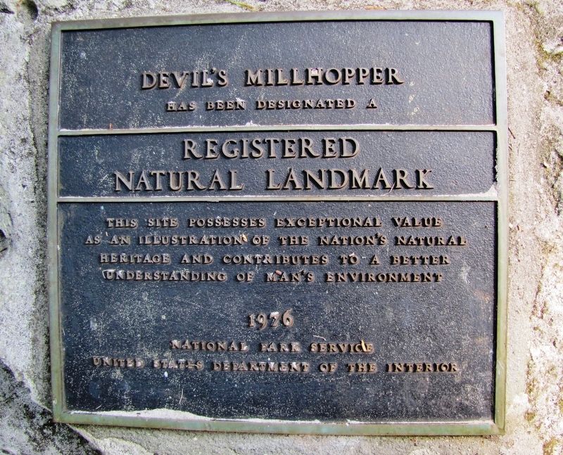
Devil's Millhopper
Registered Natural Landmark
has been designated a
Registered
Natural Landmark
This site possesses exceptional value
as an illustration of the Nationís natural
heritage and contributes to a better
understanding of manís environment
1976
National Park Service
United States Department of the Interior
Erected 1976.
Topics and series. This historical marker is listed in these topic lists: Environment • Landmarks • Natural Features • Parks & Recreational Areas. In addition, it is included in the Civilian Conservation Corps (CCC), and the National Natural Landmarks series lists.
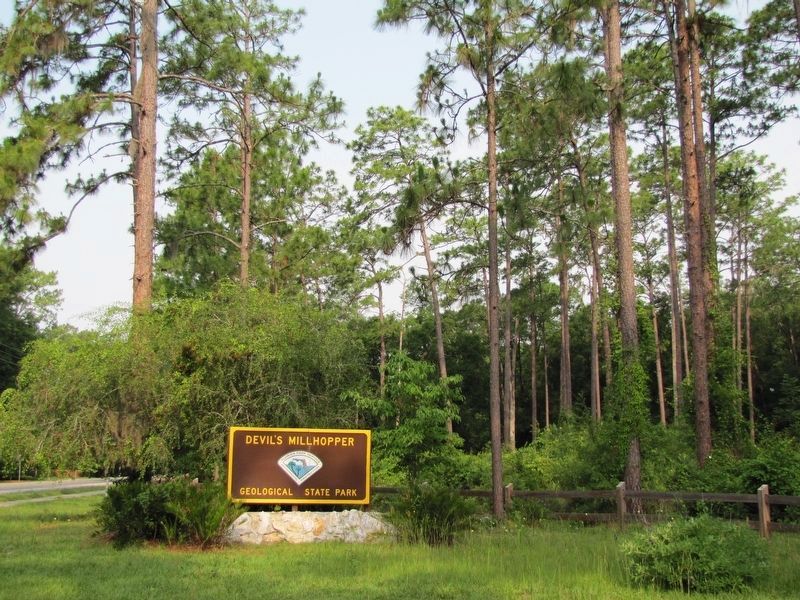
Location. 29° 42.42′ N, 82° 23.675′ W. Marker is in Gainesville, Florida, in Alachua County. Marker can be reached from Millhopper Road (NW 53rd Avenue), ľ mile east of NW 52nd Terrace, on the left when traveling east. Marker is located within Devil's Millhopper Geological State Park, along the main trail, near the "Devil's Millhopper" overlook, about 2/10 mile north of the parking lot. Touch for map. Marker is at or near this postal address: 4732 Millhopper Road, Gainesville FL 32653, United States of America. Touch for directions.
Other nearby markers. At least 8 other markers are within 5 miles of this marker, measured as the crow flies. Forced into Service (approx. 2.9 miles away); Hogtown Settlement/Fort Hogtown (approx. 3.4 miles away); Mt. Pleasant Cemetery (approx. 3.9 miles away); Gainesville Woman's Club (approx. 4.2 miles away); Fort Clarke (approx. 4.2 miles away); Timucua Burial Mound/Timucua People (approx. 4.4 miles away); Israel in Your Backyard (approx. 4.6 miles away); Emerson Alumni Hall (approx. 4.7 miles away). Touch for a list and map of all markers in Gainesville.
More about this marker. Marker is a large metal plaque, mounted vertically on a large boulder.
Regarding Devil's Millhopper. National Natural Landmark (1976); National Register of Historic Places (in part for its surviving Civilian Conservation Corps infrastructure) (2017)
Also see . . .
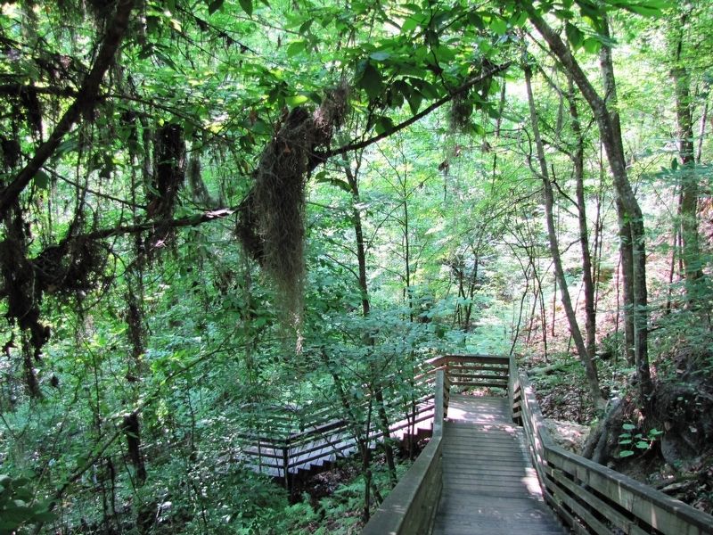
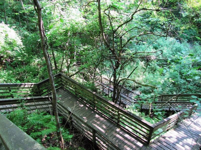
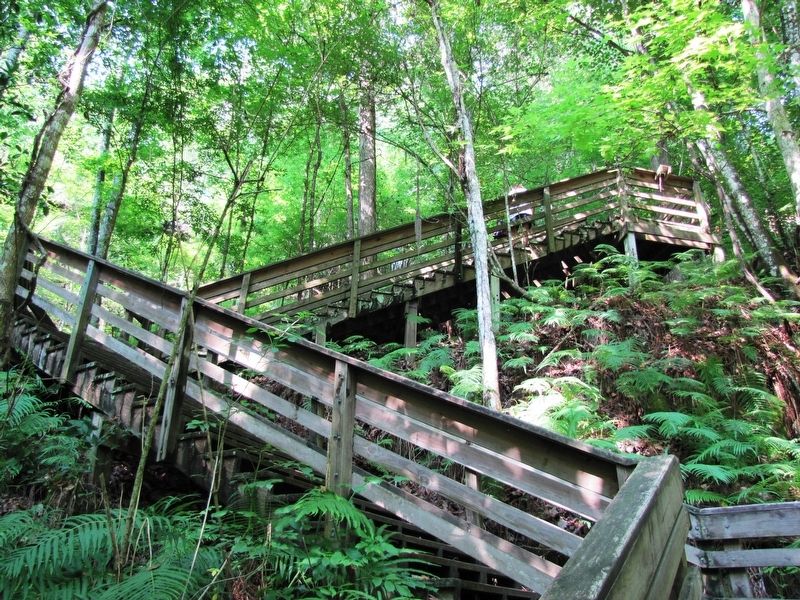
1. Devil's Millhopper Geological State Park. Devil's Millhopper Geological State Park is a National Natural Landmark that has been visited by the curious since the early 1880s. Researchers have learned a great deal about Florida's natural history by studying fossil shark teeth, marine shells and the fossilized remains of extinct land animals found in the sink. The sinkhole is 120 feet deep and 500 feet across. A one-half mile nature trail follows the rim, and there is a 232-step stairway to the bottom of the sink. The state purchased this
site in 1974, and the stairs were completed in 1976. Until that time, access in the area was limited. (Submitted on October 23, 2018, by Cosmos Mariner of Cape Canaveral, Florida.)
2. Devil's Millhopper Geological State Park. The cutaway, limestone sides of the sinkhole provide an easily visible geological record of the area. Twelve springs, some more visible than others, feed the pond at the bottom of the sinkhole. In the summer, the bottom of the sinkhole is dramatically cooler than the air at the surface due to the depth and shade from the canopy above. Significant fossil deposits include shark teeth, marine shells, and the fossilized remains of extinct land animals. (Submitted on October 23, 2018, by Cosmos Mariner of Cape Canaveral, Florida.)
Photographed By Cosmos Mariner, June 1, 2011
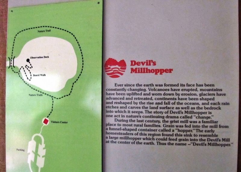
7. Devil's Millhopper State Park Map (located at a kiosk near the Visitors Center)
Ever since the earth was formed its face has been constantly changing. Volcanoes have erupted, mountains have been uplifted and worn down by erosion, glaciers have advanced and retreated, continents have been shaped and reshaped by the rise and fall of the oceans, and each rain etches and carves the land surface as well as the bedrock into which it seeps. The story of Devil's Millhopper is one act in nature's continuing drama called “change.”
During the last century, the grist mill was a familiar place to most rural families. Grain was fed into the mill from a funnel-shaped container called a “hopper.” The early homesteaders of this region found this sink to resemble a large millhopper which could feed grain into the Devil's Mill at the center of the earth. Thus the name — “Devil's Millhopper.”
During the last century, the grist mill was a familiar place to most rural families. Grain was fed into the mill from a funnel-shaped container called a “hopper.” The early homesteaders of this region found this sink to resemble a large millhopper which could feed grain into the Devil's Mill at the center of the earth. Thus the name — “Devil's Millhopper.”
Photographed By Cosmos Mariner, June 1, 2011
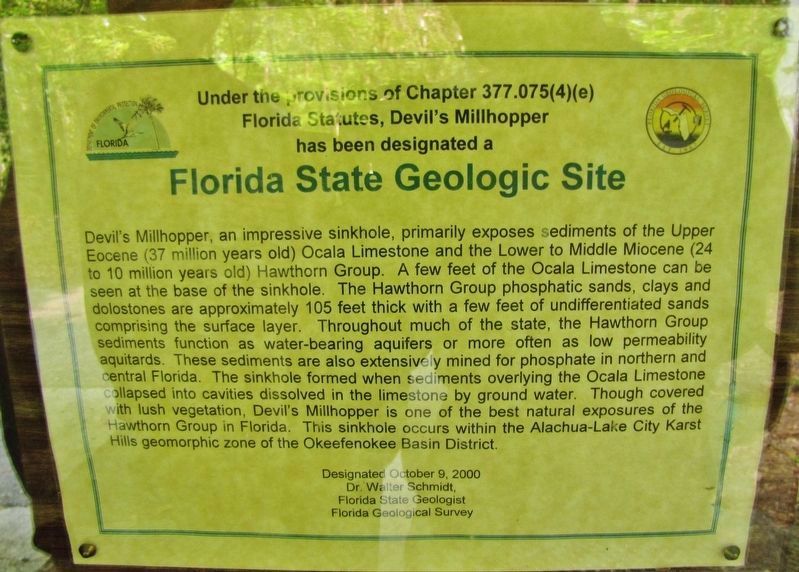
8. Florida Geologic Site Panel (located at a kiosk near the Visitors Center)
Florida Statutes, Devil's Millhopper
has been designated a
Florida State Geologic Site
Dr. Walter Schmidt,
Florida State Geologist
Florida Geological Survey
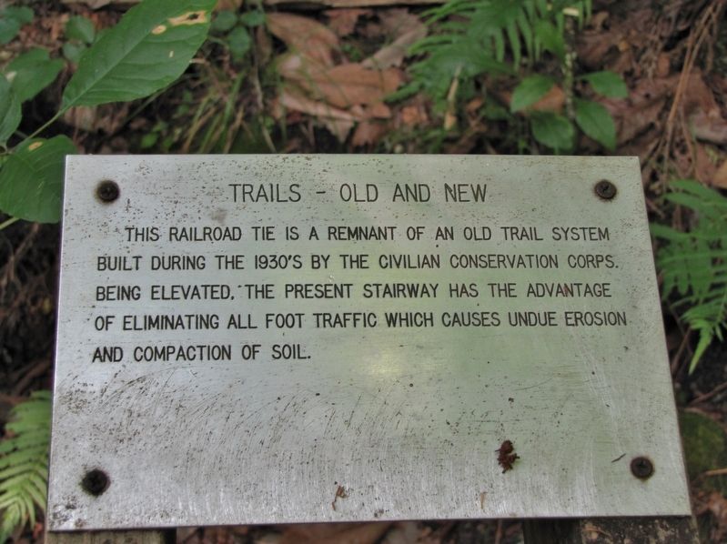
Photographed By Cosmos Mariner, June 1, 2011
9. Devil's Millhopper CCC Trail Marker (located in "millhopper," at base of boardwalk staircase)
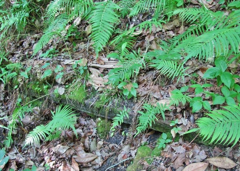
This railroad tie is a remnant of an old trail system built during the 1930ís by the Civilian Conservation Corps. Being elevated, the present stairway has the advantage of eliminating all foot traffic which causes undue erosion and compaction of soil.
Credits. This page was last revised on June 11, 2020. It was originally submitted on October 20, 2018, by Cosmos Mariner of Cape Canaveral, Florida. This page has been viewed 368 times since then and 22 times this year. Photos: 1, 2. submitted on October 23, 2018, by Cosmos Mariner of Cape Canaveral, Florida. 3. submitted on September 5, 2019, by Jay Kravetz of West Palm Beach, Florida. 4. submitted on October 30, 2018, by Cosmos Mariner of Cape Canaveral, Florida. 5. submitted on October 23, 2018, by Cosmos Mariner of Cape Canaveral, Florida. 6. submitted on October 30, 2018, by Cosmos Mariner of Cape Canaveral, Florida. 7, 8, 9. submitted on October 23, 2018, by Cosmos Mariner of Cape Canaveral, Florida. 10. submitted on October 30, 2018, by Cosmos Mariner of Cape Canaveral, Florida. • Andrew Ruppenstein was the editor who published this page.
