Bradenton in Manatee County, Florida — The American South (South Atlantic)
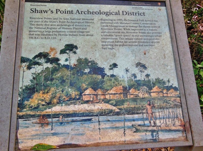
Shaw's Point Archeological District
De Soto National Memorial
— Riverview Pointe —
Beginning in 1999; the National Park Service has partnered with Manatee County Conservation Lands Management to manage the eleven acres of Riverview Pointe. While important as a historic and educational site, Riverview Pointe also provides a valuable “green space” in our increasingly urban environment. This unique natural area provides important habitat for several threatened species including the gopher tortoise and southern bald eagle.
Erected by National Park Service, U.S Department of the Interior.
Topics. This historical marker is listed in these topic lists: Anthropology & Archaeology • Environment • Native Americans • Parks & Recreational Areas.
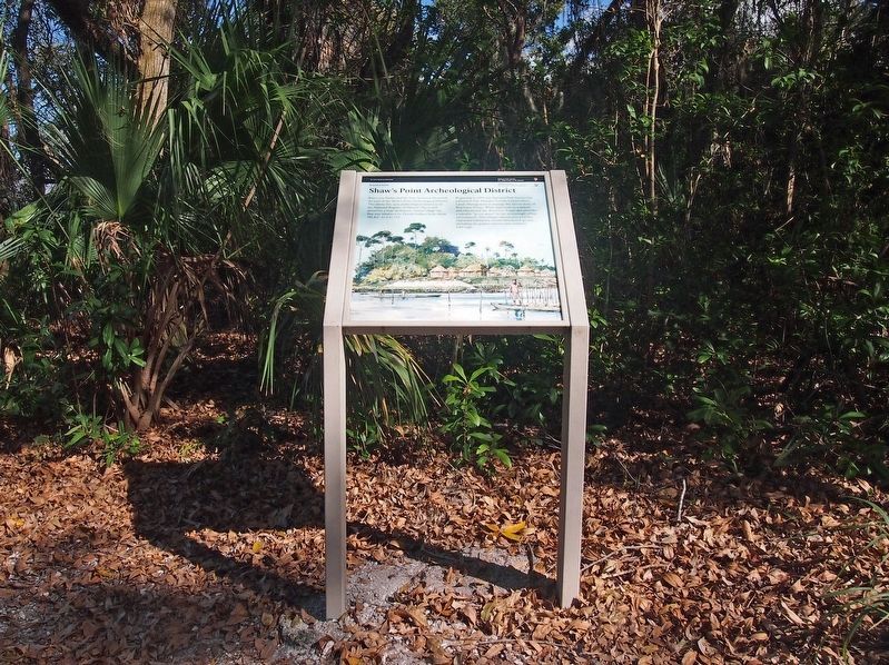
Location. 27° 31.236′ N, 82° 38.56′ W. Marker is in Bradenton, Florida, in Manatee County. Marker can be reached from the intersection of Desoto Memorial Highway (75th Street NW) and 24th Avenue NW, on the right when traveling north. Marker is located on the walking trail within Riverview Pointe Preserve, on the south edge of the DeSoto National Memorial Park, about 1/10 mile east of Desoto Memorial Highway. Touch for map. Marker is at or near this postal address: 8250 Desoto Memorial Highway, Bradenton FL 34209, United States of America. Touch for directions.
Other nearby markers. At least 8 other markers are within walking distance of this marker. Holy Eucharist Monument and Memorial Cross (about 300 feet away, measured in a direct line); Hernando de Soto (approx. ¼ mile away); La Florida's Early Peoples (approx. ¼ mile away); DeSoto Trail (approx. ¼ mile away); Camp Uzita (approx. ¼ mile away); De Soto Trail Monument (approx. ¼ mile away); The Spanish Crown (approx. ¼ mile away); The Landing (approx. ¼ mile away). Touch for a list and map of all markers in Bradenton.
Related markers. Click here for a list of markers that are related to this marker. De Soto National Memorial
Also see . . .
1. Shaw's Point Archeological District. The mission of De Soto National Memorial is to preserve the controversial story of this exploration and interpret its significance in American history. Visitors can attend living history demonstrations, try on a piece of armor, or walk the nature trail through a Florida coastal landscape similar to the one encountered by conquistadors almost five hundred years ago. Part of the memorial was designated a U.S. National Historic Landmark on April 6, 2001, under the title of
the Shaw's Point Archeological District. (Submitted on October 24, 2018, by Cosmos Mariner of Cape Canaveral, Florida.)
2. De Soto National Memorial. Information is provided in the "De Soto National Memorial Archeological Overview and Assessment" by Margo Schwadron (1998) and "Archeological Investigation of De Soto National Memorial" by Margo Schwadron (2002). The prehistoric and historic archeological sites have been determined to be important resources. (Submitted on October 24, 2018, by Cosmos Mariner of Cape Canaveral, Florida.)
Credits. This page was last revised on February 26, 2024. It was originally submitted on October 24, 2018, by Cosmos Mariner of Cape Canaveral, Florida. This page has been viewed 612 times since then and 80 times this year. Photos: 1. submitted on October 24, 2018, by Cosmos Mariner of Cape Canaveral, Florida. 2. submitted on February 25, 2024, by McGhiever of Minneapolis, Minnesota. • Bernard Fisher was the editor who published this page.

