Milford in Oakland County, Michigan — The American Midwest (Great Lakes)
Milford at Work
The Ford Carburetor Plant
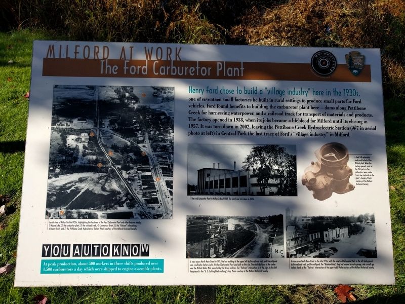
Henry Ford chose to build a "village industry" here in the 1930s,
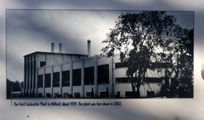
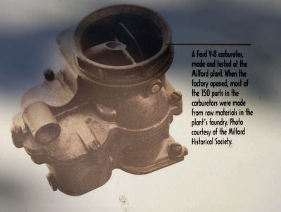
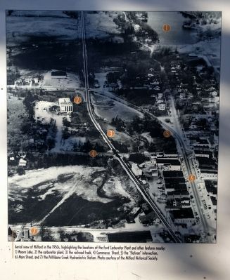
one of seventeen small factories he built in rural settings to produce small parts for Ford vehicles. Ford found benefits to building the carburetor plant here — dams along Pettibone Creek for harnessing waterpower, and a railroad track for transport of materials and products. The factory opened in 1938, when its jobs became a lifeblood for Milford until its closing in 1957. It was torn down in 2002, leaving the Pettibone Creek Hydroelectric Station (#7 in aerial photo at left) in Central Park the last trace of Ford's "village industry" in Milford.
You Auto Know
At peak production, about 500 workers in three shifts produced over 4,500 carburetors a day which were shipped to engine assembly plants.
Erected by MotorCities National Heritage Area, National Park Service.
Topics and series. This historical marker is listed in this topic list: Industry & Commerce. In addition, it is included in the MotorCities National Heritage Area series list. A significant historical year for this entry is 1938.
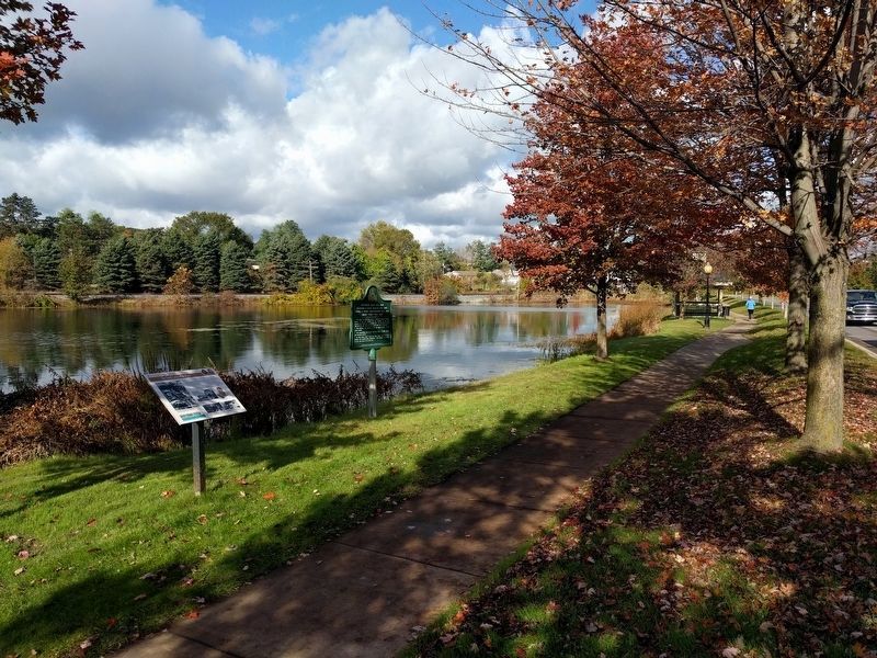
Location. 42° 35.595′ N, 83° 36.066′ W. Marker is in Milford, Michigan, in Oakland County. Marker is on North Milford Road north of Detroit Street, on the left when traveling north. Touch for map. Marker is in this post office area: Milford MI 48381, United States of America. Touch for directions.
Other nearby markers. At least 8 other markers are within walking distance of this marker. Pettibone Grist Mill 1846 (here, next to this marker); Hibbard Tavern (about 700 feet away, measured in a direct line); Milford Rural Agricultural School (approx. 0.2 miles away); Wood-Hubbell House (approx. 0.2 miles away); Motley Lights (approx. 0.2 miles away); Eaton Cabinet & Chair Factory (approx. 0.2 miles away); A Ford Village Industry (approx. 0.3 miles away); Phelps Saw Mill and Distillery (approx. 0.3 miles away). Touch for a list and map of all markers in Milford.
Photographed By Joel Seewald, October 20, 2018
2. Left Image
Aerial view of Milford in the 1950s, highlighting the locations of the Ford Carburetor Plant and other features nearby: 1) Moore Lake, 2) the carburetor plant, 3) the railroad track, 4) Commerce Street, 5) the "flatiron" intersection, 6) Main Street, and 7) the Pettibone Creek Hydroelectric Station. Photo courtesy of the Milford Historical Society.
Photographed By Joel Seewald, October 20, 2018
4. Milford at Work Marker
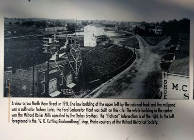
A view across North Main Street in 1911. The low building at the upper left by the railroad track and the millpond was a cultivator factory. Later, the Ford Carburetor Plant was built on this site. The white building in the center was the Milford Roller Mills operated by the Yerkes brothers. The "flatiron" intersection is at the right. In the left foreground is the "G. O. Cutting Blacksmithing" shop. Photo courtesy of the Milford Historical Society.
Photographed By Joel Seewald, October 20, 2018
6. Lower Right Image
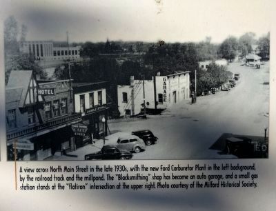
A view across North Main Street in the late 1930s, with the new Ford Carburetor Plant in the left background, by the railroad track and the millpond. The "Blacksmithing" shop has become an auto garage, and a small gas station stands at the "flatiron" intersection at the upper right. Photo courtesy of the Milford Historical Society.
Credits. This page was last revised on February 12, 2023. It was originally submitted on October 24, 2018, by Joel Seewald of Madison Heights, Michigan. This page has been viewed 402 times since then and 51 times this year. Photos: 1, 2, 3, 4, 5, 6, 7. submitted on October 24, 2018, by Joel Seewald of Madison Heights, Michigan.
