Corbridge in Northumberland, England, United Kingdom — Northwestern Europe (the British Isles)
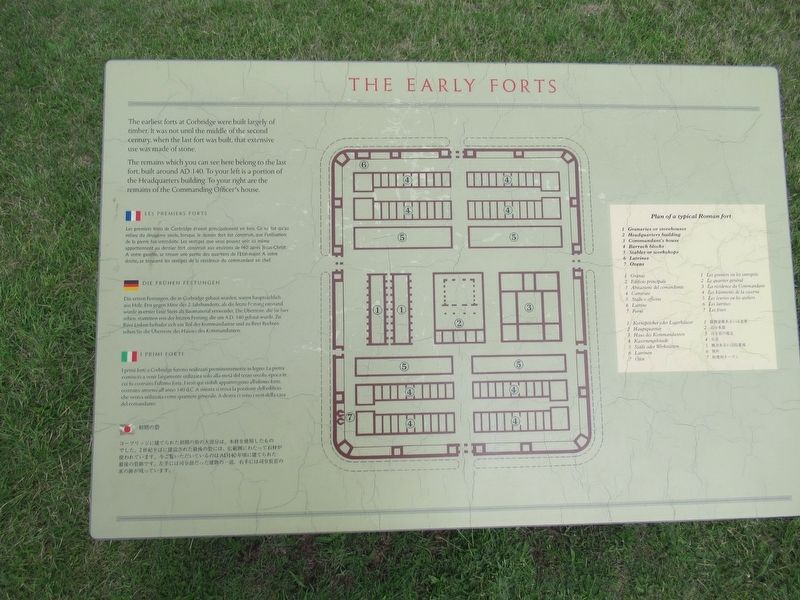
The Early Forts
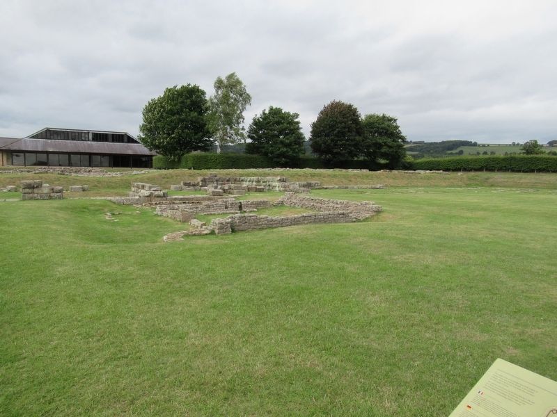
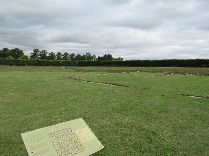
The remains which you can see here belong to the last fort built around AD 140. To your left is a portion of the Headquarters building. To your right are the remains of the Commanding Officer's house.
( the marker text is also presented in French, German, Italian and Japanese )
Topics. This historical marker is listed in these topic lists: Forts and Castles • Settlements & Settlers.
Location. 54° 58.695′ N, 2° 1.735′ W. Marker is in Corbridge, England, in Northumberland. Marker can be reached from Corchester Lane, 0.8 kilometers west of Stagshaw Road, on the left when traveling west. Located in Corbridge Roman Town. Touch for map. Marker is in this post office area: Corbridge, England NE45 5NT, United Kingdom. Touch for directions.
Other nearby markers. At least 8 other markers are within walking distance of this marker. The Courtyard Building (within shouting distance of this marker); The Fountain House (within shouting distance of this marker); The East Military Compound (within shouting distance of this marker); The Granaries (within shouting distance of this marker); The Main Street (within shouting distance of this marker); Corbridge Roman Site (within shouting distance of this marker); The Side Street (within shouting distance of this marker); The West Military Compound (about 90 meters away, measured in a direct line). Touch for a list and map of all markers in Corbridge.
Credits. This page was last revised on January 27, 2022. It was originally submitted on October 28, 2018, by Michael Herrick of Southbury, Connecticut. This page has been viewed 87 times since then and 3 times this year. Photos: 1, 2, 3. submitted on October 28, 2018, by Michael Herrick of Southbury, Connecticut.


