Glenns Ferry in Elmore County, Idaho — The American West (Mountains)
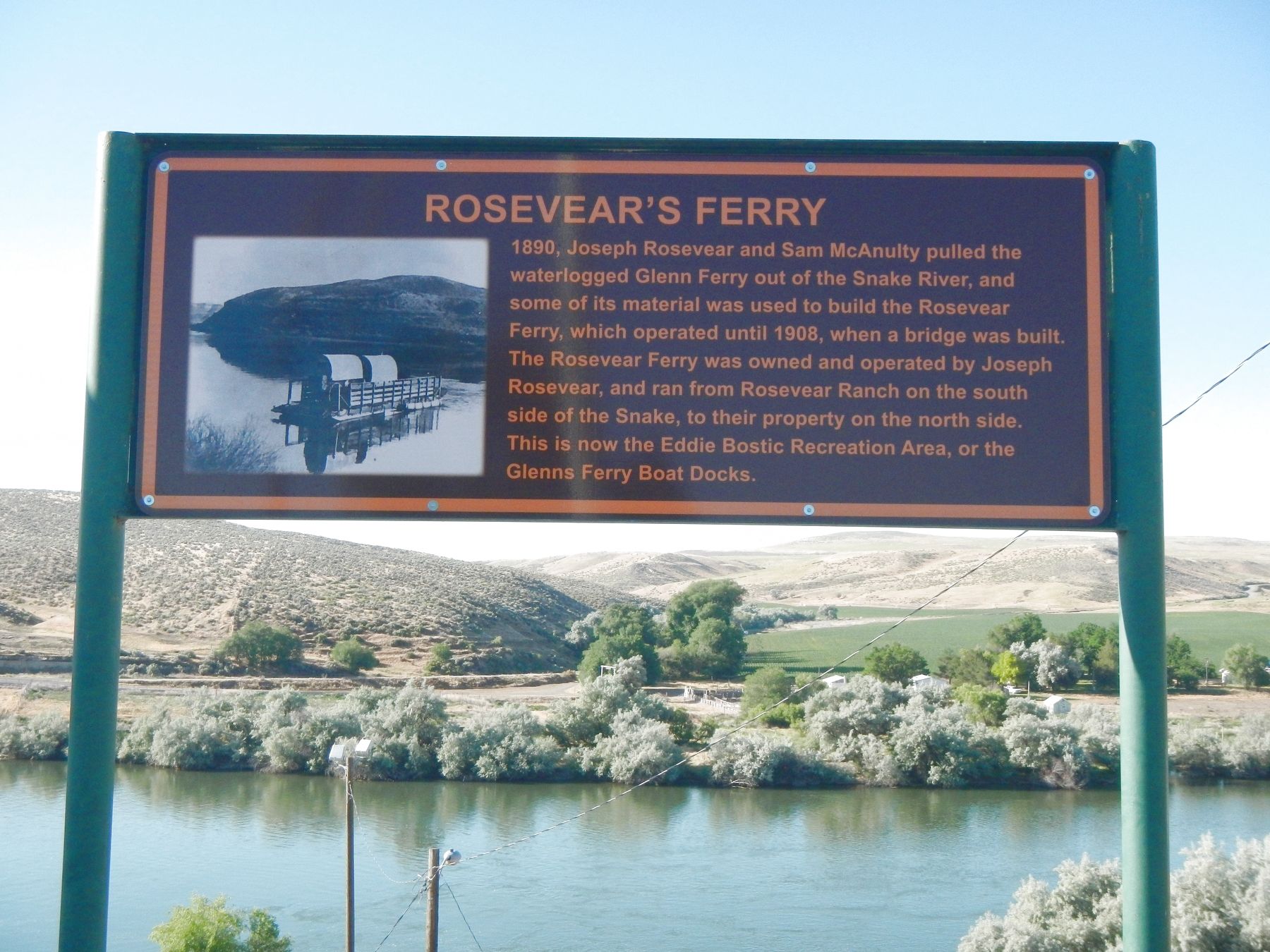
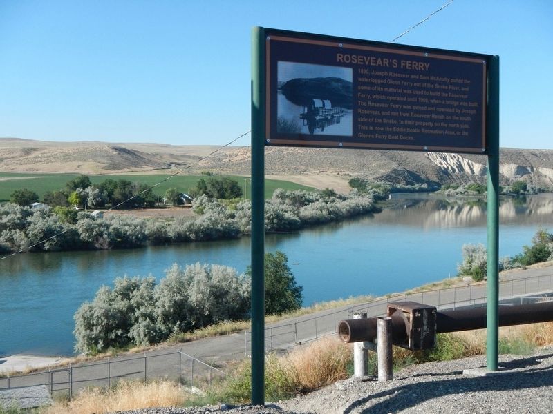
Rosevear's Ferry
Erected by City of Glenns Ferry.
Topics. This historical marker is listed in these topic lists: Roads & Vehicles • Waterways & Vessels. A significant historical year for this entry is 1890.
Location. 42° 56.874′ N, 115° 17.856′ W. Marker is in Glenns Ferry, Idaho, in Elmore County. Marker is at the intersection of South Commercial Street and West Madison Avenue, on the left when traveling south on South Commercial Street. Touch for map. Marker is at or near this postal address: 684 South Commercial Street, Glenns Ferry ID 83623, United States of America. Touch for directions.
Other nearby markers. At least 8 other markers are within 2 miles of this marker, measured as the crow flies. Glenn's Ferry (within shouting distance of this marker); Oregon Trail (within shouting distance of this marker); Site 1 ★ Two Island Crossing (about 500 feet away, measured in a direct line); Gorby Opera Theatre (1914) (approx. 0.4 miles away); a different marker also named The Oregon Trail (approx. 1.3 miles away); Idaho's Bicentennial Wagon (approx. 1.3 miles away); The Three Island Ford (approx. 1.3 miles away); To All Pioneers (approx. 1.3 miles away). Touch for a list and map of all markers in Glenns Ferry.
Also see . . . History of Glenns Ferry - City of Glenns Ferry. Gustavus P. Glenn knew an opportunity when he saw one. He was a freight hauler with teams of oxen and horses moving needed goods along the Kelton-to-Boise section of the Oregon Trail.... In 1869 Gustavus Glenn built a ferry boat so that his wagons and others could cross the Snake River without the danger of driving horse and oxen teams through the treacherous waters. By this time traffic on the Oregon trail was heavy in both directions. (Submitted on October 30, 2018, by Barry Swackhamer of Brentwood, California.)
Credits. This page was last revised on October 30, 2018. It was originally submitted on October 30, 2018, by Barry Swackhamer of Brentwood, California. This page has been viewed 330 times since then and 29 times this year. Photos: 1, 2. submitted on October 30, 2018, by Barry Swackhamer of Brentwood, California.

