Mitchell in Davison County, South Dakota — The American Midwest (Upper Plains)
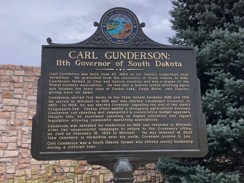
Carl Gunderson:
11th Governor of South Dakota
Gunderson served five terms in the State Senate between 1892 and 1918. He moved to Mitchell in 1918 and was elected Lieutenant governor in 1920. In 1924, he was elected Governor, signaling the end of the state's Progressive Era. Taking office amidst a struggling agricultural economy, Gunderson cut spending and emphasized a conservative budget approach. Despite this, he increased spending on higher education and signed legislation allowing commodity marketing associations.
Gunderson was defeated for reelection in 1926 and returned to Mitchell. After two unsuccessful campaigns to return to the Governor's office, he died on February 16, 1933 in Mitchell. He was interred at Bluff View Cemetery in Vermillion near his uncle, Governor Andrew E. Lee.
Carl Gunderson was a South Dakota farmer who offered steady leadership during a difficult time.
Erected 2017 by the State of South Dakota. (Marker Number 722.)
Topics and series. This historical marker is listed in this topic list: Government & Politics. In addition, it is included in the South Dakota State Historical Society Markers series list. A significant historical year for this entry is 1924.
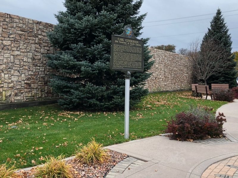
Location. 43° 42.924′ N, 98° 1.551′ W. Marker is in Mitchell, South Dakota, in Davison County. Marker is at the intersection of North Main Street and East 7th Avenue on North Main Street. Marker is located in Rotary Park. Touch for map. Marker is in this post office area: Mitchell SD 57301, United States of America. Touch for directions.
Other nearby markers. At least 8 other markers are within 9 miles of this marker, measured as the crow flies. Oscar Howe & Marilyn Wounded Head (about 300 feet away, measured in a direct line); The Corn Palace (about 300 feet away); Davison County, South Dakota, Veterans Memorial (approx. 0.2 miles away); Old Mill Stone (approx. 0.9 miles away); Davison County WWI Memorial Tablet (approx. 0.9 miles away); Indian Medicine Tree (approx. 1.2 miles away); Junction of Jimtown & Fort Thompson Trails (approx. 2˝ miles away); Original Site of New Home Lutheran Church (approx. 8.3 miles away). Touch for a list and map of all markers in Mitchell.
Also see . . . Carl Gunderson - Wikipedia. (Submitted on November 5, 2018, by Bill Pfingsten of Bel Air, Maryland.)
Credits. This page was last revised on August 21, 2021. It was originally submitted on November 2, 2018, by Ruth VanSteenwyk of Aberdeen, South Dakota. This page has been viewed 512 times since then and 20 times this year. Last updated on August 19, 2021. Photos: 1, 2. submitted on November 2, 2018, by Ruth VanSteenwyk of Aberdeen, South Dakota. • Mark Hilton was the editor who published this page.

