Hartlepool, England, United Kingdom — Northwestern Europe (the British Isles)
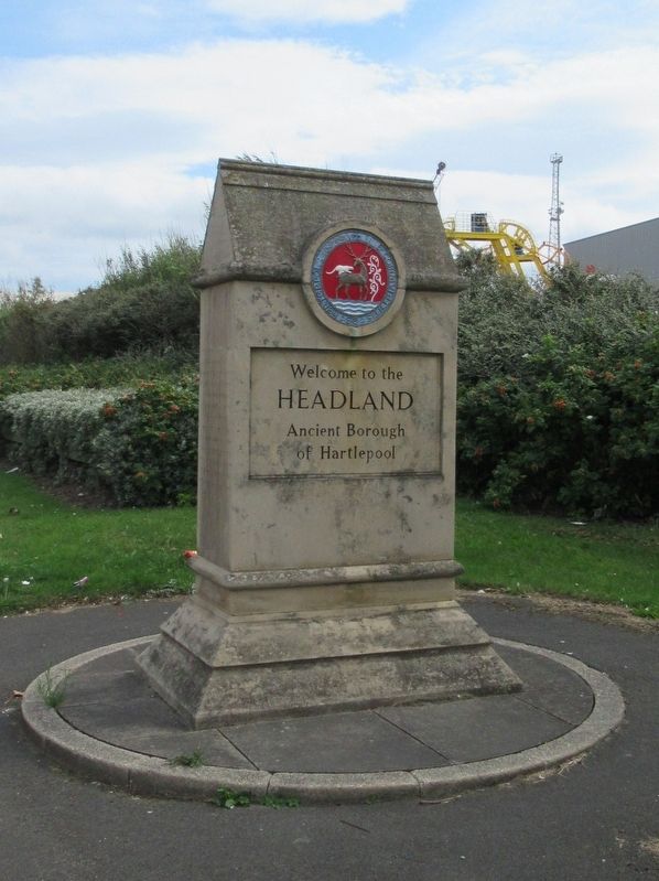
Headland
Headland
Ancient Borough
of Hartlepool
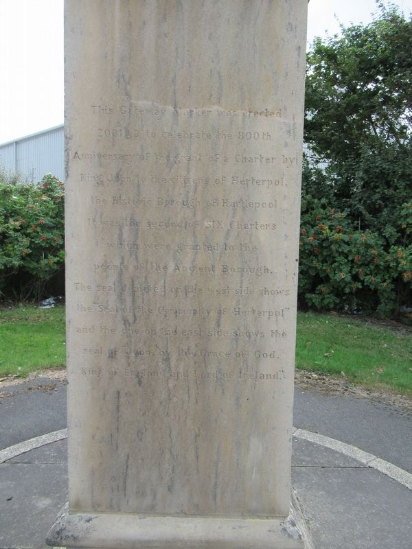
2001 AD to celebrate the 800th
Anniversary of the grant of a Charter by
King John to the citizens of Herterpool,
The historic Borough of Hartlepool.
It was the second of Six Charters
Which were granted to the
people of the Ancient Borough.
The Seal depicted on the west side shows
The “Seal of the Community of Herterpol”
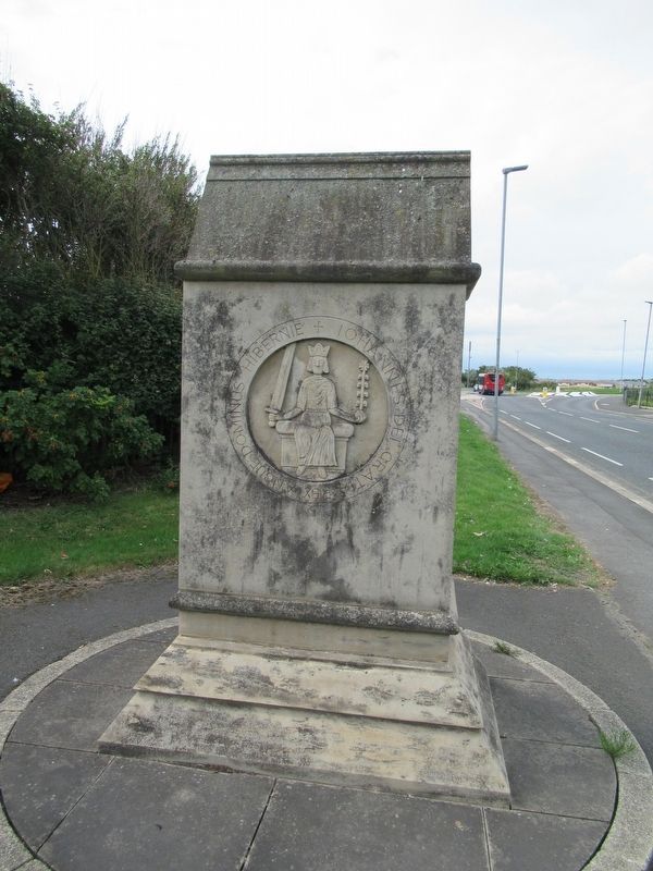
and the one on the east side shows the
seal of “John, by the Grace of God,
King of England and Lord of Ireland.”
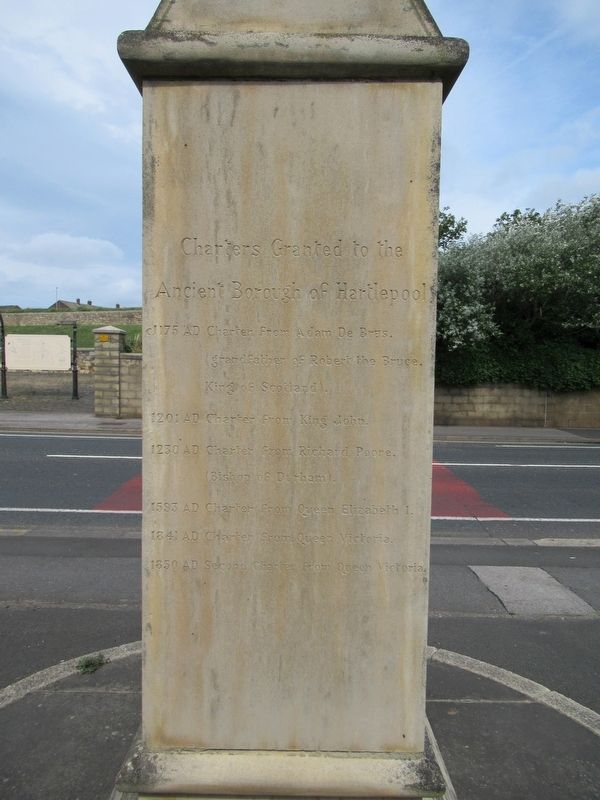
Ancient Borough of Hartlepool
(grandfather of Robert the Bruce, King of Scotland).
1201 AD Charter from King John
1203 AD Charter from Richard Poore (Bishop of Durham)
1593 AD Charter from Queen Elizabeth I
1841 AD Charter from Queen Victoria
1850 AD Second Charter from Queen Victoria
Erected 2001.
Topics. This historical marker is listed in this topic list: Settlements & Settlers. A significant historical year for this entry is 2001.
Location. 54° 42.098′ N, 1° 11.822′ W. Marker is in Hartlepool , England. Marker is at the intersection of W View Road and Thorpe Street, on the right when traveling east on W View Road. Touch for map. Marker is in this post office area: Hartlepool, England TS24 0EQ, United Kingdom. Touch for directions.
Other nearby markers. At least 8 other markers are within walking distance of this marker. Throston Engine House (a few steps from this marker); Docks & Coal Staiths (a few steps from this marker); Seaton Tower Lighthouse (approx. 1.2 kilometers away); Naval Gun 4 inch (approx. 1.4 kilometers away); Ropes (approx. 1.4 kilometers away); 6 inch Gun (approx. 1.4 kilometers away); Naval & Anti Aircraft Gun (approx. 1.4 kilometers away); Malta Gun (approx. 1.4 kilometers away). Touch for a list and map of all markers in Hartlepool.
Also see . . .
1. Hartlepool Borough Council. (Submitted on November 3, 2018, by Michael Herrick of Southbury, Connecticut.)
2. Hartlepool on Wikipedia. (Submitted on November 3, 2018, by Michael Herrick of Southbury, Connecticut.)
Credits. This page was last revised on January 27, 2022. It was originally submitted on November 3, 2018, by Michael Herrick of Southbury, Connecticut. This page has been viewed 160 times since then and 7 times this year. Photos: 1, 2, 3, 4. submitted on November 3, 2018, by Michael Herrick of Southbury, Connecticut.


