Financial District in Manhattan in New York County, New York — The American Northeast (Mid-Atlantic)
The Wall
Birth of a City: Nieuw Amsterdam & Old New York
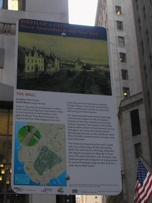
THE WALL
Location: Wall Street
Dutch Name: Langs de Wal
Here, in 1653, Nieuw Amsterdam’s settlers built a wall running from the Hudson River to the East River to defend their town against attack. They feared invasion by England and her New England colonists. Later, they also worried about raids by Lenape Indians. Townsmen armed themselves and formed a militia to patrol the wall and guard their homes.
The wood-planked wall stood 9 feet high, and allowed soldiers to fire at invaders attacking from the northern countryside (today’s uptown). Two bastions were later topped with cannon to hold enemies at bay. Two gates, one here at De Heere Straet (Broadway) and one on the East River shore (Pearle Street), enabled settlers to enter and leave the town.
The street running along the wall’s south side was called Langs de Wal (Along the Wall). The wall stood until 1699, long after the English conquest of 1664. By its final years, the wall had fallen into disrepair, and townspeople had stripped it of many planks to use as firewood. Langs de Wal took a new name: Wall Street.
Erected 2009 by City Lore & NY 400.
Topics. This historical marker is listed in this topic list: Colonial Era. A significant historical year for this entry is 1653.
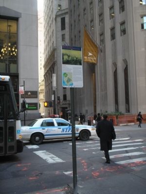
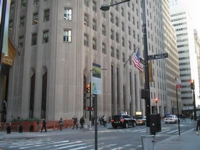
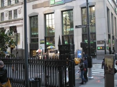
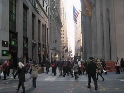
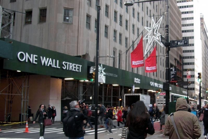
Location. Marker has been permanently removed. It was located near 40° 42.478′ N, 74° 0.703′ W. Marker was in Manhattan, New York, in New York County. It was in the Financial District. Marker was at the intersection of Broadway and Wall Street, on the right when traveling south on Broadway. The marker was located in front of Trinity Church. Touch for map. Marker was in this post office area: New York NY 10006, United States of America.
We have been informed that this sign or monument is no longer there and will not be replaced. This page is an archival view of what was.
Other nearby markers. At least 8 other markers are within walking distance of this location. Francis Lewis, 1713 - 1803 (here, next to this marker); April 7, 1952 (a few steps from this marker); Trinity Church (a few steps from this marker); Queen Elizabeth II (a few steps from this marker); a different marker also named Trinity Church (a few steps from this marker); Charlotte Temple (a few steps from this marker); William Bradford (a few steps from this marker); Richard Churcher (a few steps from this marker). Touch for a list and map of all markers in Manhattan.
More about this marker. A picture at the top of the marker shows the wall in Nieuw Amsterdam. It has a caption of “This view, created long after the Dutch colonial era, envisions the defensive wall with its gate next to the East River shoreline (today’s Pearl Street).” A map in the lower left of the marker shows lower Manhattan Island and the route of the Nieuw Amsterdam Trail.
NOTE: By December 2018, all the markers in this series had been removed.
Related markers. Click here for a list of markers that are related to this marker. Learn about New York City’s colonial Dutch heritage by taking a virtual tour of the Nieuw Amsterdam Trail though lower Manhattan.
Also see . . . Was Wall Street Originally the Site of a ‘Border Wall’ Meant to Protect New Amsterdam?. Snopes website entry (Submitted on July 25, 2021, by Larry Gertner of New York, New York.)
Credits. This page was last revised on January 31, 2023. It was originally submitted on November 4, 2009, by Bill Coughlin of Woodland Park, New Jersey. This page has been viewed 977 times since then and 39 times this year. Last updated on November 4, 2018, by Larry Gertner of New York, New York. Photos: 1, 2, 3, 4, 5. submitted on November 4, 2009, by Bill Coughlin of Woodland Park, New Jersey. 6. submitted on December 17, 2018, by Larry Gertner of New York, New York. • Andrew Ruppenstein was the editor who published this page.
