Boise in Ada County, Idaho — The American West (Mountains)
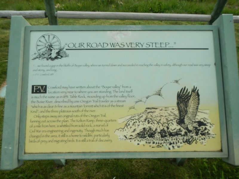
"Our Road Was Very Steep…"
"… we found a gap in the bluffs of Boise valley, where we turned down and succeeded in reaching the valley in safety, although our road was very steep and stony, and long…" -- P.V. Crawford, 1851
P.V. Crawford may have written about the "Boyse valley" from a location very near to where you are standing. The land itself is much the same as in 1851. Table Rock, mounding up from the valley floor; the Boise River, described by one Oregon Trail traveler as a stream "which is as clear & find as a mountain Torrent which it is of the finest Kind"; and the three plateaus south of the river.
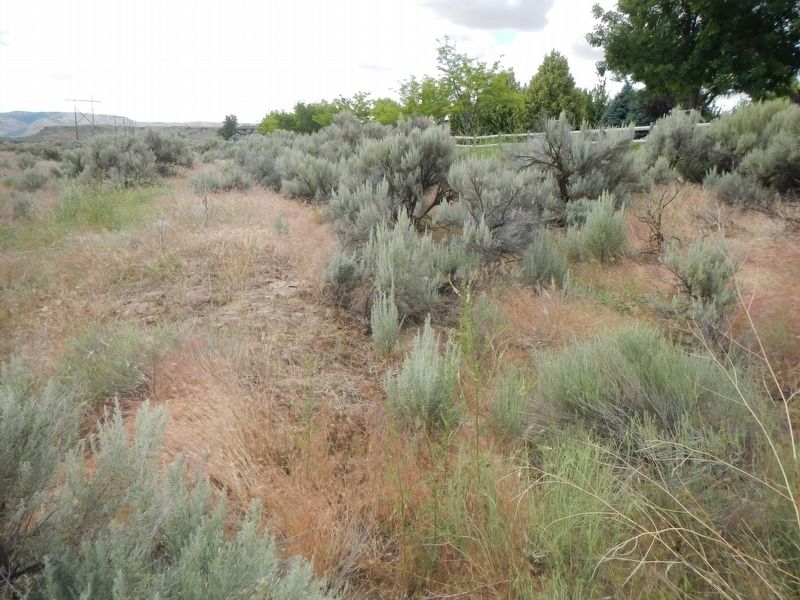
Only steps away are original ruts of the Oregon Trail, fanning out across the plain. The Kelton Ramp, three-quarters of a mile from here, is whittled from solid rock, a marvel of Civil War era engineering and ingenuity. Though much has changed in the area, it still is a home to wildlife, particularly birds of prey and migrating birds. It is still a trail of discovery.
Erected by Boise Parks & Recreation.
Topics and series. This historical marker is listed in these topic lists: Roads & Vehicles • Settlements & Settlers. In addition, it is included in the Oregon Trail series list.
Location. 43° 32.8′ N, 116° 6.927′ W. Marker is in Boise, Idaho, in Ada County. Marker can be reached from East Lake Forest Drive near South Kelton Place, on the right when traveling west. Touch for map. Marker is at or near this postal address: 5000 East Lake Forest Drive, Boise ID 83716, United States of America. Touch for directions.
Other nearby markers. At least 8 other markers are within walking distance of this marker. Ezra Meeker (approx. 0.4 miles away); Bonneville Point (approx. 0.4 miles away); Idaho's Emigrant Trails (approx. 0.4 miles away); Fort Boise (approx. 0.4 miles away); Kelton Road (approx. 0.4 miles away); Whitman Overlook (approx. half a mile away); Wheels of Change (approx. half a mile away); Old Oregon Trail (approx. half a mile away). Touch for a list and map of all markers in Boise.
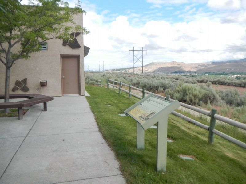
More about this marker. The marker is located near the visitors center in the Oregon Trail Historic Reserve.
Credits. This page was last revised on March 6, 2024. It was originally submitted on November 4, 2018, by Barry Swackhamer of Brentwood, California. This page has been viewed 853 times since then and 64 times this year. Photos: 1, 2, 3. submitted on November 4, 2018, by Barry Swackhamer of Brentwood, California.


