Floral City in Citrus County, Florida — The American South (South Atlantic)
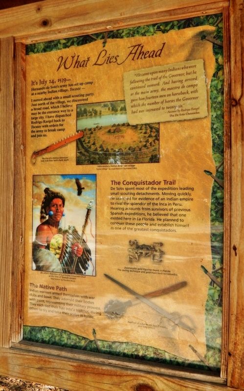
What Lies Ahead
Florida De Soto Trail
— July 24, 1539 —
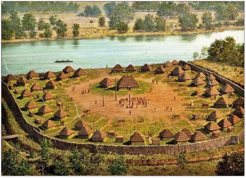
Hernando de Soto’s army has set up camp at a nearby Indian village, Tocaste -
I moved ahead with a small scouting party. Just north of the village, we discovered a broad road, which I believe may be the entrance way to a large city. I have dispatched Rodrigo Rangel back to Tocaste with orders to break camp and join us.
"He came upon many Indians who were following the trail of the Governor, but he continued onward. And having arrived at the main army, the maestro de campo gave him fourteen men on horseback, with which the number of horses the Governor had was increased to twenty-six."
- Account by Rodrigo Rangel
The De Soto Chronicles
The Conquistador Trail
De Soto spent most of the expedition leading small scouting detachments. Moving quickly, he searched for evidence of an Indian empire to rival the splendor of the Inca in Peru. Hearing accounts from survivors of previous Spanish expeditions, he believed that one existed here in La Florida. He planned to conquer these people and establish hemself as one of the greatest conquistadors.
The Native Path
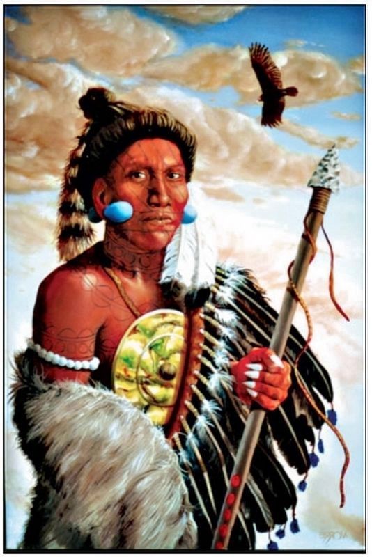
Indian warriors armed themselves with war clubs and bows. They adorned their bodies with paint, representing their military prowess. They each tied their hair into a topknot, daring others to try and take their scalps in battle.
Erected by Florida De Soto Trail, Florida Department of Transportation, the Florida Park Service, and the National Park Service. (Marker Number 13.)
Topics. This historical marker is listed in these topic lists: Colonial Era • Exploration • Native Americans • Notable Events. A significant historical date for this entry is July 24, 1539.
Location. 28° 45.007′ N, 82° 16.94′ W. Marker is in Floral City, Florida, in Citrus County. Marker is on East Orange Avenue / South Duval Island Drive east of South Shore Acres Point, on the right when traveling east. Marker is located on the south side of the street, at the entrance to the South Duval Island Boat Ramp overflow parking lot. Touch for map. Marker is in this post office area: Floral City FL 34436, United States of America. Touch for directions.
Other nearby markers. At least 8 other markers are within 5 miles of this marker, measured as the crow flies. Historic Floral City (approx. 0.3 miles away); The Historic Duval House (approx. ¾ mile away); a different marker also named The Historic Duval House (approx. ¾ mile away); Floral City's Travelers and Their Trails (approx. 0.9 miles away); Mile Posts (approx. 1½ miles away); Whistle Markers (approx. 3.7 miles away); Lonely Outpost in a Hostile Land
(approx. 4 miles away); A Costly Florida War (approx. 4.1 miles away). Touch for a list and map of all markers in Floral City.
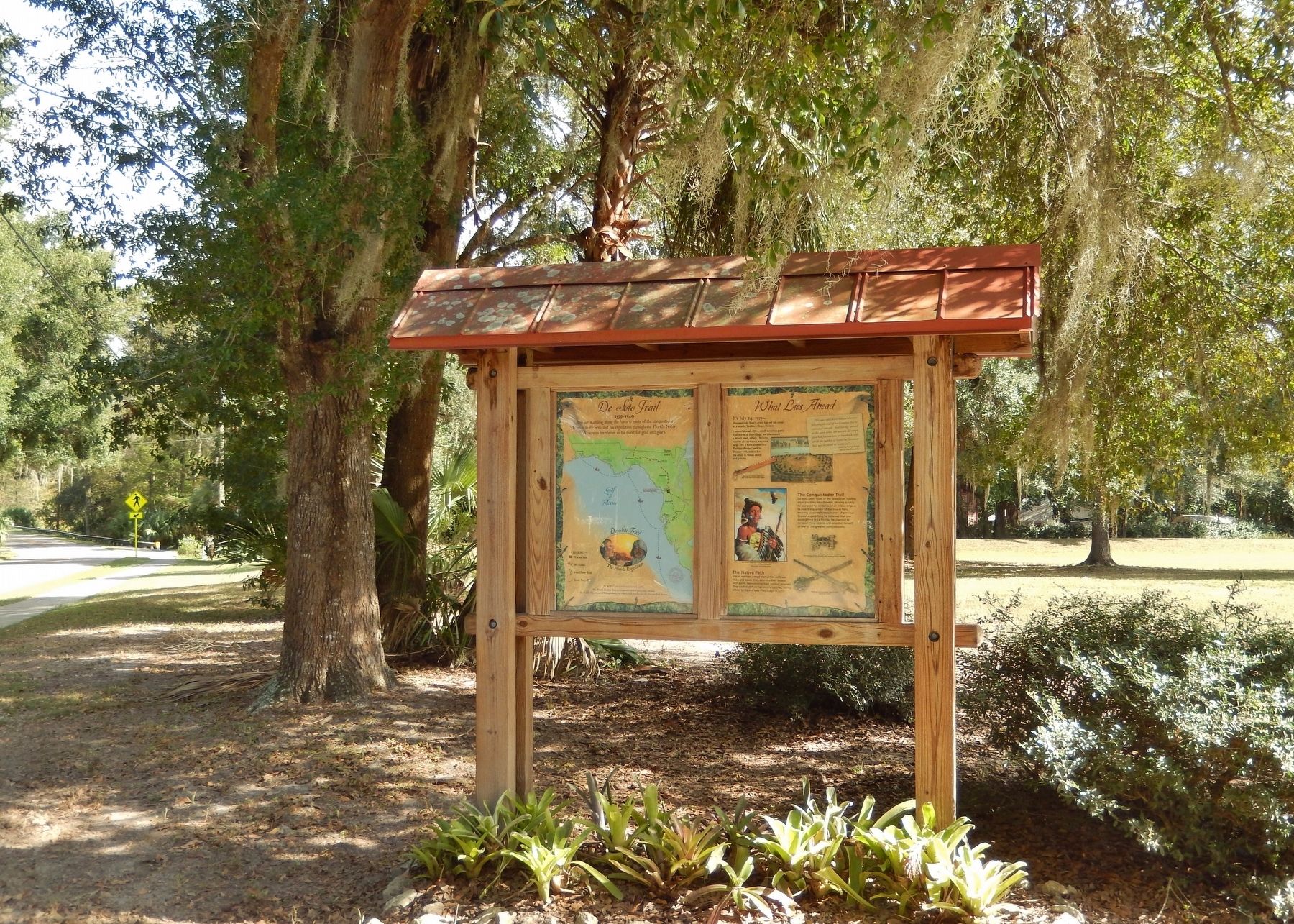
More about this marker. Marker is a large, composite plaque mounted vertically within a heavy-duty wooden kiosk.
Related markers. Click here for a list of markers that are related to this marker. Florida De Soto Trail
Also see . . . De Soto’s Expedition to North America. In 1536, de Soto obtained a royal commission to conquer and settle the region known as La Florida (now the southeastern United States), which had been the site of earlier explorations by Juan Ponce de León and others. De Soto set out from Spain in April 1538, set with 10 ships and 700 men. After a stop in Cuba, the expedition landed at Tampa Bay in May 1539. They moved inland and eventually set up camp for the winter at a small Indian village near present-day Tallahassee. (Submitted on November 5, 2018, by Cosmos Mariner of Cape Canaveral, Florida.)
Photographed By Cosmos Mariner, November 1, 2018
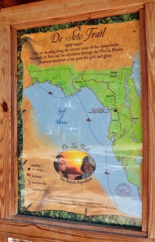
4. Florida De Soto Trail Map (panel to the left of marker in kiosk)
1539-1540
Credits. This page was last revised on December 26, 2020. It was originally submitted on November 5, 2018, by Cosmos Mariner of Cape Canaveral, Florida. This page has been viewed 443 times since then and 44 times this year. Last updated on November 21, 2018, by Cosmos Mariner of Cape Canaveral, Florida. Photos: 1, 2, 3, 4, 5. submitted on November 5, 2018, by Cosmos Mariner of Cape Canaveral, Florida. • Bernard Fisher was the editor who published this page.
