Jersey City in Hudson County, New Jersey — The American Northeast (Mid-Atlantic)
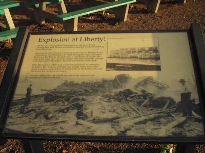
Explosion at Liberty!
Inscription.
On July 30, 1916, the Black Tom munitions depot exploded, rocking New York Harbor and sending sleeping residents tumbling from their beds.
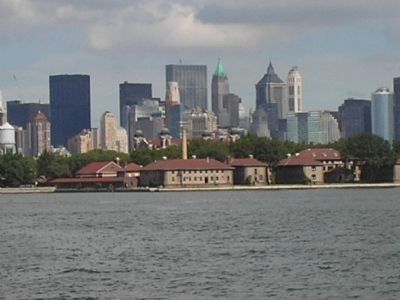
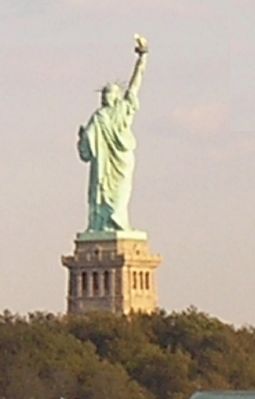
The noise of the explosion was heard as far away as Maryland and Connecticut. On Ellis Island, terrified immigrants were evacuated by ferry to the Battery. Shrapnel pierced the Statue of Liberty (the arm of the Statue was closed to visitors after this). Property damage was estimated at $20 million. It is not known how many died.
Why the explosion? Was it an accident or planned? According to historians, the Germans sabotaged the Lehigh Valley munitions depot in order to stop deliveries being made to the British who had blockaded the Germans in Europe.
You are walking on a site which saw one of the worse acts of terrorism in American history.
Erected by National Park Service.
Topics. This historical marker is listed in these topic lists: War, World I • Waterways & Vessels. A significant historical month for this entry is July 1856.
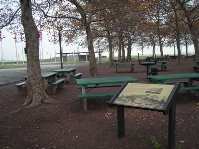
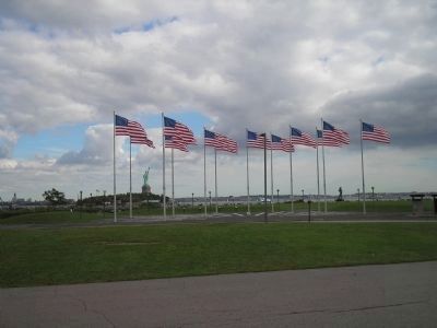
Location. Marker has been reported missing. It was located near 40° 41.566′ N, 74° 3.444′ W. Marker was in Jersey City, New Jersey, in Hudson County. Marker was on Morris Pesin Drive, on the right when traveling east . Touch for map. Marker was in this post office area: Jersey City NJ 07305, United States of America. Touch for directions.
Other nearby markers. At least 8 other markers are within walking distance of this location. Black Tom Explosion (here, next to this marker); Liberation (about 600 feet away, measured in a direct line); The Salt Marsh (approx. 0.4 miles away); Changes in the Land (approx. 0.6 miles away); Inside the Statue (approx. 0.6 miles away in New York); Symbolism (approx. 0.6 miles away in New York); Statue Facts (approx. 0.6 miles away in New York); “Mother of Exiles” (approx. 0.6 miles away in New York). Touch for a list and map of all markers in Jersey City.
More about this marker. This marker has been replaced by a newer, slightly different, wayside.
Also see . . .
1. Statue of Liberty. (Submitted on March 12, 2008, by Bill Coughlin of Woodland Park, New Jersey.)
2. Ellis Island. (Submitted on March 12, 2008, by Bill Coughlin of Woodland Park, New Jersey.)
3. Wikipedia article about the explosion and those responsible. (Submitted on July 24, 2015, by Mark Hilton of Montgomery, Alabama.)
Credits. This page was last revised on September 17, 2020. It was originally submitted on March 12, 2008, by Bill Coughlin of Woodland Park, New Jersey. This page has been viewed 2,056 times since then and 50 times this year. Last updated on November 15, 2018, by Larry Gertner of New York, New York. Photos: 1. submitted on March 12, 2008, by Bill Coughlin of Woodland Park, New Jersey. 2. submitted on November 3, 2008, by Bill Coughlin of Woodland Park, New Jersey. 3, 4, 5. submitted on March 12, 2008, by Bill Coughlin of Woodland Park, New Jersey. • Bill Pfingsten was the editor who published this page.
