Downtown in Louisville in Jefferson County, Kentucky — The American South (East South Central)
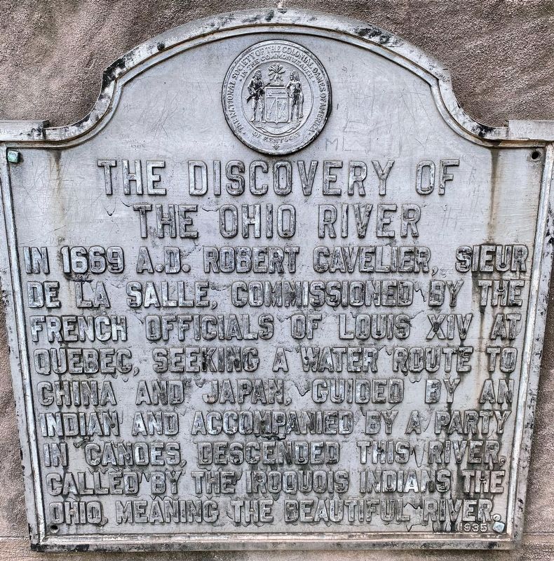
The Discovery of the Ohio River
Erected 1935 by The National Society of the Colonial Dames of America. (Marker Number 22.)
Topics. This historical marker is listed in these topic lists: Exploration • Waterways & Vessels. A significant historical year for this entry is 1669.
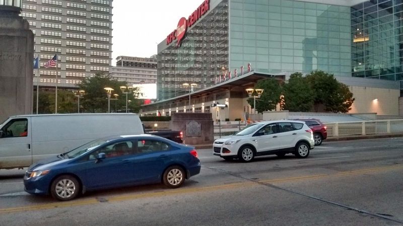
Location. 38° 15.396′ N, 85° 45.205′ W. Marker is in Louisville, Kentucky, in Jefferson County. It is in Downtown. Marker is at the intersection of North 2nd Street and Clark Memorial Bridge, on the left when traveling north on North 2nd Street. Marker is located at the south end of George Rogers Clark Memorial Bridge at north end of 2nd St. Touch for map. Marker is in this post office area: Louisville KY 40202, United States of America. Touch for directions.
Other nearby markers. At least 8 other markers are within walking distance of this marker. The Galt House (within shouting distance of this marker); Slave Trading In Louisville / Garrison Slave Pen Site (within shouting distance of this marker); Coon Hollow Distillery Offices (about 300 feet away, measured in a direct line); Old Forester Distilling Co. (about 300 feet away); Louisville Water Company (about 400 feet away); Kentucky National Bank Building (about 500 feet away); Louisville Board of Trade (about 500 feet away); Birth of Truth In Advertising (about 600 feet away). Touch for a list and map of all markers in Louisville.
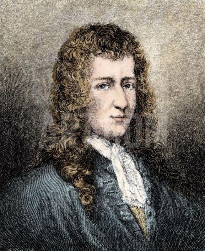
Also see . . . René-Robert Cavelier, Sieur de La Salle. (Submitted on November 17, 2018, by Tom Bosse of Jefferson City, Tennessee.)
Credits. This page was last revised on February 12, 2023. It was originally submitted on November 17, 2018, by Tom Bosse of Jefferson City, Tennessee. This page has been viewed 520 times since then and 28 times this year. Photos: 1. submitted on July 31, 2021, by Shane Oliver of Richmond, Virginia. 2, 3, 4, 5. submitted on November 17, 2018, by Tom Bosse of Jefferson City, Tennessee. • Bill Pfingsten was the editor who published this page.
