Great Falls in Cascade County, Montana — The American West (Mountains)
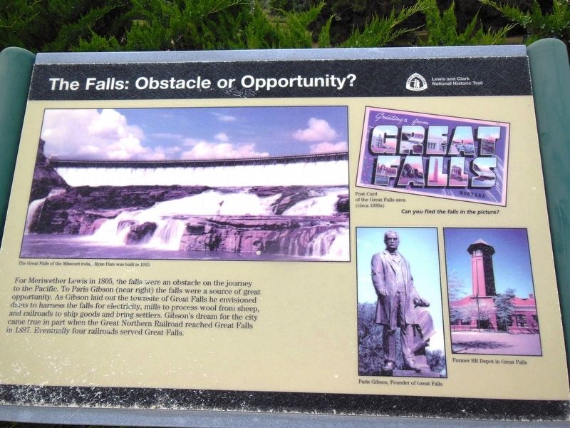
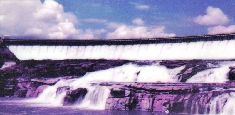
The Falls: Obstacle or Opportunity
Erected by Lewis and Clark National Historic Trail.
Topics and series. This historical marker is listed in these topic lists: Exploration • Railroads & Streetcars • Settlements & Settlers • Waterways & Vessels. In addition, it is included in the Lewis & Clark Expedition series list. A significant historical year for this entry is 1805.
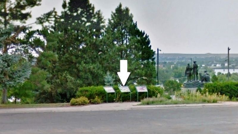
Location. 47° 29.543′ N, 111° 18.405′ W. Marker is in Great Falls, Montana, in Cascade County. Marker can be reached from Overlook Drive south of 10th Avenue South (Business Interstate 15), on the right when traveling west. Marker is located beside the sidewalk, on the north side of the parking lot, in Broadwater Overlook Park, overlooking the Missouri River. Touch for map. Marker is in this post office area: Great Falls MT 59405, United States of America. Touch for directions.
Other nearby markers. At least 8 other markers are within walking distance of this marker. The Portage Around the Falls (here, next to this marker); Commissary of the Plains (here, next to this marker); Explorers at the Portage (a few steps from this marker); Arvon Block (approx. 0.8 miles away); Bus Depot and Garage (approx. 0.9 miles away); Murphy Maclay Hardware Store (approx. 0.9 miles away); Union Bethel African Methodist Episcopal Church (approx. 0.9 miles away); New Park Hotel (approx. 0.9 miles away). Touch for a list and map of all markers in Great Falls.
More about this marker. Marker is a large composite plaque, mounted horizontally on waist-high metal posts. This is the center marker of a three-marker exhibit at this location.
Also see . . .
1. Paris Gibson. Gibson abandoned his failed business interests in Minnesota to try his luck out West and, in 1880, paid a visit to the Great Falls of the Missouri River and quickly recognized their potential for producing hydroelectric power. Gibson convinced his friend, railroad magnate James J. Hill, to invest in a townsite at the falls and urged that Hill extend his railroad through the new city. In 1883 the city of Great Falls, Montana, had been founded. (Submitted on November 20, 2018, by Cosmos Mariner of Cape Canaveral, Florida.)
2. River’s Edge Trail map. Broadwater Overlook Park is near the south trailhead for the Great Falls River's Edge Trail. This is one of many historical markers to be found along the River's Edge Trail. (Submitted on November 20, 2018, by Cosmos Mariner of Cape Canaveral, Florida.)
Credits. This page was last revised on November 26, 2018. It was originally submitted on November 20, 2018, by Cosmos Mariner of Cape Canaveral, Florida. This page has been viewed 151 times since then and 12 times this year. Photos: 1, 2, 3. submitted on November 20, 2018, by Cosmos Mariner of Cape Canaveral, Florida. • Bill Pfingsten was the editor who published this page.


