Windermere in Orange County, Florida — The American South (South Atlantic)
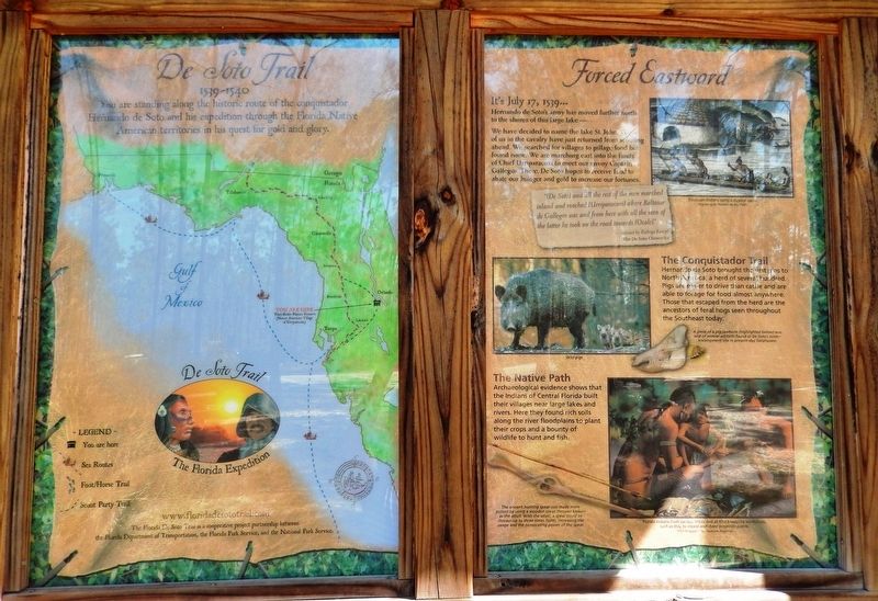
Forced Eastward
Florida De Soto Trail
— July 17, 1539 —
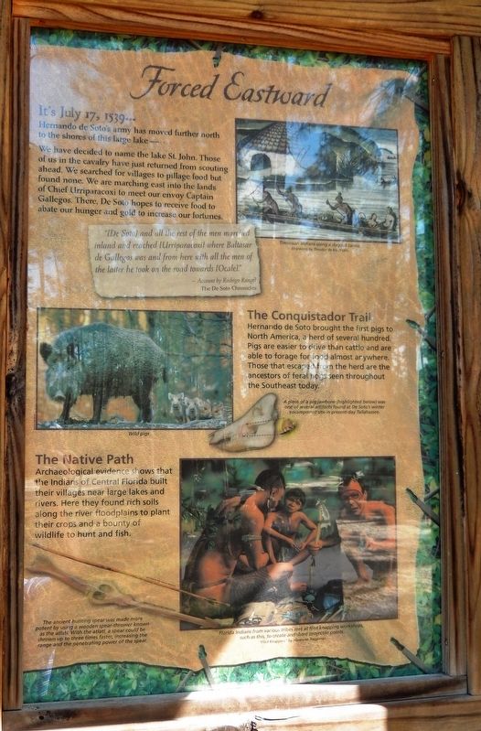
Hernando de Soto’s army has moved further north to the shores of this large lake –
We have decided to name the lake St. John. Those of us in the cavalry have just returned from scouting ahead. We searched the villages to pillage food but found none. We are marching east into the lands of Chief Urriparacoxi to meet our envoy Captain Gallegos. There, De Soto hopes to receive food to abate our hunger and gold to increase our fortunes.
”[De Soto] and all the rest of the men marched inland and reached [Urriparacoxi] where Baltasar Gallegos was and from here with all the men of the latter he took on the road towards [Ocale].”
- Account by Rodrigo Rangel
The De Soto Chronicles
The Conquistador Trail
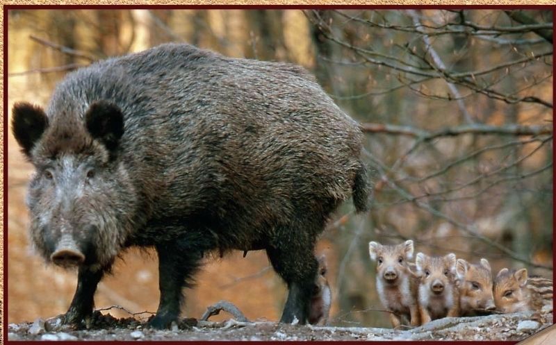
Hernando de Soto brought the first pigs to North America, a herd of several hundred. Pigs are easier to drive than cattle and are able to forage for food almost anywhere. Those that escaped from the herd are the ancestors of feral hogs seen throughout the Southeast today.
The Native Path
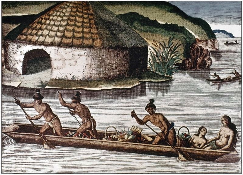
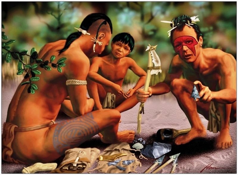
Archaeological evidence shows that the Indians of Central Florida built their villages near large lakes and rivers. Here they found rich soils along the river floodplains to plant their crops and a bounty of wildlife to hunt and fish.
The ancient hunting spear was made more potent by using a wooden spear-thrower known as the atlatl. With the atlatl, a spear could be thrown up to three times faster, increasing the range and the penetrating power of the spear.
Erected by Florida De Soto Trail, Florida Department of Transportation, the Florida Park Service, and the National Park Service. (Marker Number 6.)
Topics. This historical marker is listed in these topic lists: Colonial Era • Exploration • Native Americans • Notable Events. A significant historical date for this entry is July 17, 1539.
Location. 28° 26.573′ N, 81° 32.49′ W. Marker is in Windermere, Florida, in Orange County. Marker can be reached from Winter Garden Vineland Road (County Road 535) 6 miles north of Interstate 4 (State Road 400), on the right when traveling north. Marker is located in the Tibet-Butler Nature Preserve, near the main parking lot, on the north side of the Visitors Center. Touch for map. Marker is at or near this postal address: 8777 Winter Garden Vineland Road, Windermere FL 34786, United States of America. Touch for directions.
Other nearby markers. At least 8 other markers are within 4 miles of this marker, measured as the crow flies. Visit Carousel of Progress (approx. 2.9 miles away); The Liberty Tree (approx. 3 miles away); a different marker also named The Liberty Tree (approx. 3 miles away); Tom Sawyer Island
(approx. 3.1 miles away); 1887 Windermere Schoolhouse (approx. 3½ miles away); Official World Trade Center Memorial Site (approx. 3.6 miles away); Windermere Town Hall (approx. 3.6 miles away); a different marker also named Windermere Town Hall (approx. 3.6 miles away). Touch for a list and map of all markers in Windermere.
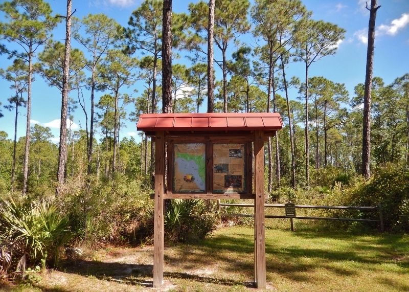
More about this marker. Marker is a large, composite plaque mounted vertically within a heavy-duty wooden kiosk
Related markers. Click here for a list of markers that are related to this marker. Florida De Soto Trail
Also see . . .
1. De Soto’s Expedition to North America. In 1536, de Soto obtained a royal commission to conquer and settle the region known as La Florida (now the southeastern United States), which had been the site of earlier explorations by Juan Ponce de León and others. De Soto set out from Spain in April 1538, set with 10 ships and 700 men. After a stop in Cuba, the expedition landed at Tampa Bay in May 1539. They moved inland and eventually set up camp for the winter at a small Indian village near present-day Tallahassee. (Submitted on November 4, 2018, by Cosmos Mariner of Cape Canaveral, Florida.)
2. A Brief History of the Pig in the United States. By the time De Soto began exploring Florida he carried with him 13 pigs across the Atlantic. Within 3 years these 13 pigs had ballooned to a population of over 700, giving birth both to the American pork industry and the feral pig problem. The native people of the Americas also took notice of this amazing new animal and quickly learned that given enough room to roam and forage, pigs could be ready for slaughter in less than a year and just a few of these animals can provide enough food for entire family through the winter months. (Submitted on December 22, 2020, by Cosmos Mariner of Cape Canaveral, Florida.)
Photographed By Cosmos Mariner, October 31, 2018
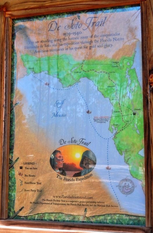
5. Florida De Soto Trail Map (panel to the left of marker in kiosk)
1539-1540
Credits. This page was last revised on December 22, 2020. It was originally submitted on November 4, 2018, by Cosmos Mariner of Cape Canaveral, Florida. This page has been viewed 355 times since then and 36 times this year. Last updated on November 21, 2018, by Cosmos Mariner of Cape Canaveral, Florida. Photos: 1, 2. submitted on November 4, 2018, by Cosmos Mariner of Cape Canaveral, Florida. 3. submitted on December 27, 2018, by Cosmos Mariner of Cape Canaveral, Florida. 4, 5, 6, 7. submitted on November 4, 2018, by Cosmos Mariner of Cape Canaveral, Florida. • Bernard Fisher was the editor who published this page.
