Richloam in Hernando County, Florida — The American South (South Atlantic)
Rumors of Riches
Florida De Soto Trail
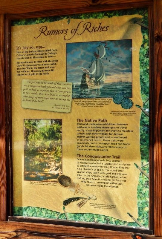
— July 20, 1539 —
Here at the Indian village called Luca, Calvary Captain Baltasar de Gallegos reports back to Hernando de Soto –
My mission to meet with the great Chief Urriparacoxi was unsuccessful. The chief hid in the forest and never met with me. However, his men did tell stories of gold to the north.
”The first idea in the minds of these cavaliers was to conquer and seek gold and silver, and they paid no heed to anything that did not pertain to these metals. Thus they failed to accomplish other things of more importance as tracing out the limits of the land.”
Garcilaso del la Vega
La Florida of the Inca
The Native Path
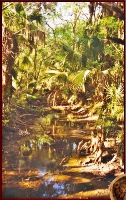
Trails and roads were established between settlements to allow messengers to travel swiftly. It was important for chiefs to maintain contact with other villages for defense against warring groups and to send word of ceremonial events. These trails were commonly used to transport food and trade goods. Modern highways follow many of these ancient trade routes.
The Conquistador Trail
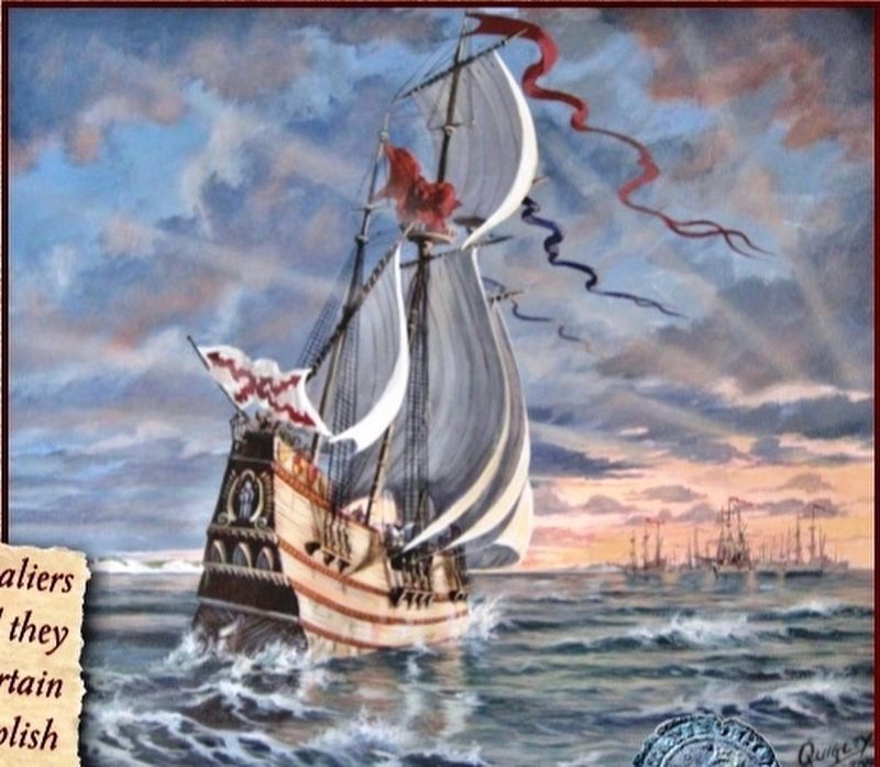
One reason Hernando de Soto explored La Florida was to find a suitable port and place to establish a colony for Holy Roman emperor King Charles V of Spain. This would offer Spanish ships, laden with gold and treasures taken in the Americas, a safe harbor before making their Atlantic crossing. De Soto not only failed to accomplish either task, he never made the attempt.
Erected by Florida De Soto Trail, Florida Department of Transportation, the Florida Park Service, and the National Park Service. (Marker Number 11.)
Topics. This historical marker is listed in these topic lists: Colonial Era • Exploration • Native Americans • Notable Events. A significant historical date for this entry is July 20, 1539.
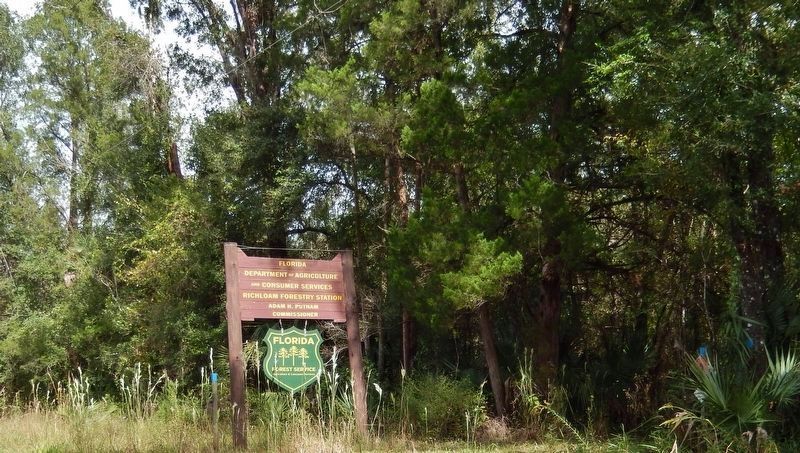
Location. 28° 30.021′ N, 82° 6.767′ W. Marker is in Richloam, Florida, in Hernando County. Marker can be reached from Richloam Clay Sink Road, 0.1 miles east of Riverland Road, on the right when traveling east. Marker is located at the Richloam Fire Tower trailhead in the Richloam Wildlife Management Area within the Withlacoochee State Forest. Touch for map. Marker is in this post office area: Webster FL 33597, United States of America. Touch for directions.
Other nearby markers. At least 8 other markers are within 7 miles of this marker, measured as the crow flies. Richloam (a few steps from this marker); Richloam General Store and Post Office (about 400 feet away, measured in a direct line); Clay Sink Cemetery, Baptist Church and School (approx. 3½ miles away); Fort King Road (approx. 3.6 miles away); Trilby Methodist Church
(approx. 5.6 miles away); Trilby (approx. 5.7 miles away); Owensboro (approx. 6 miles away); Trilby Cemetery (approx. 6.1 miles away).
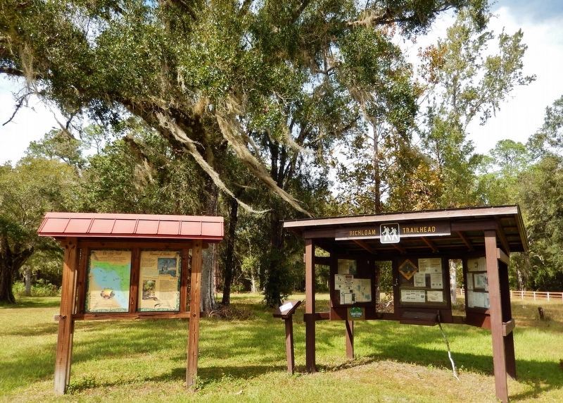
More about this marker. Marker is a large, composite plaque mounted vertically within a heavy-duty wooden kiosk. The marker kiosk is adjacent to the Richloam Fire Tower trailhead kiosk at the same location.
Related markers. Click here for a list of markers that are related to this marker. Florida De Soto Trail
Also see . . .
1. Hernando de Soto. In May 1539, de Soto landed nine ships with over 620 men and 220 horses in an area generally identified as south Tampa Bay. The expedition traveled north, exploring Florida's West Coast, and encountering native ambushes and conflicts along the way. The Spanish believed that de Soto's excursion to Florida was a failure. They acquired neither gold nor prosperity and founded no colonies. But the expedition had several major consequences. The records of the expedition contributed greatly to European knowledge about the geography, biology, and ethnology of the New World. The de Soto expedition's descriptions of North American natives are the earliest-known source of information about the societies in the Southeast. (Submitted on November 1, 2018, by Cosmos Mariner of Cape Canaveral, Florida.)
2. De Soto’s Expedition to North America. In 1536, de Soto obtained a royal commission to conquer and settle the region known as La Florida (now the southeastern United States), which had been the site of earlier explorations by Juan Ponce de León and others. De Soto set out from Spain in April 1538, set with 10 ships and 700 men. After a stop in Cuba, the expedition landed at Tampa Bay in May 1539. They moved inland and eventually set up camp for the winter at a small Indian village near present-day Tallahassee. (Submitted on November 4, 2018, by Cosmos Mariner of Cape Canaveral, Florida.)
Photographed By Cosmos Mariner, November 1, 2018
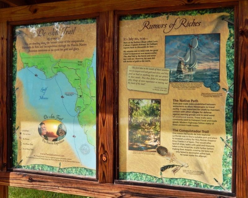
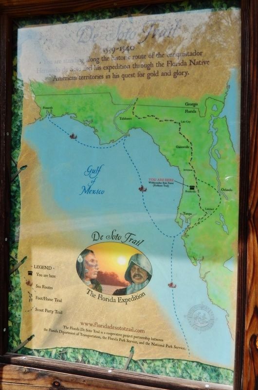
4. De Soto Trail Map (panel to the left of marker in kiosk)
1539-1540
Credits. This page was last revised on December 24, 2020. It was originally submitted on October 30, 2018, by Cosmos Mariner of Cape Canaveral, Florida. This page has been viewed 510 times since then and 43 times this year. Last updated on November 21, 2018, by Cosmos Mariner of Cape Canaveral, Florida. Photos: 1, 2, 3, 4, 5. submitted on November 1, 2018, by Cosmos Mariner of Cape Canaveral, Florida. 6, 7. submitted on November 3, 2018, by Cosmos Mariner of Cape Canaveral, Florida. • Bernard Fisher was the editor who published this page.
