Gainesville in Alachua County, Florida — The American South (South Atlantic)
Forced into Service
Florida De Soto Trail
— August 13, 1539 —
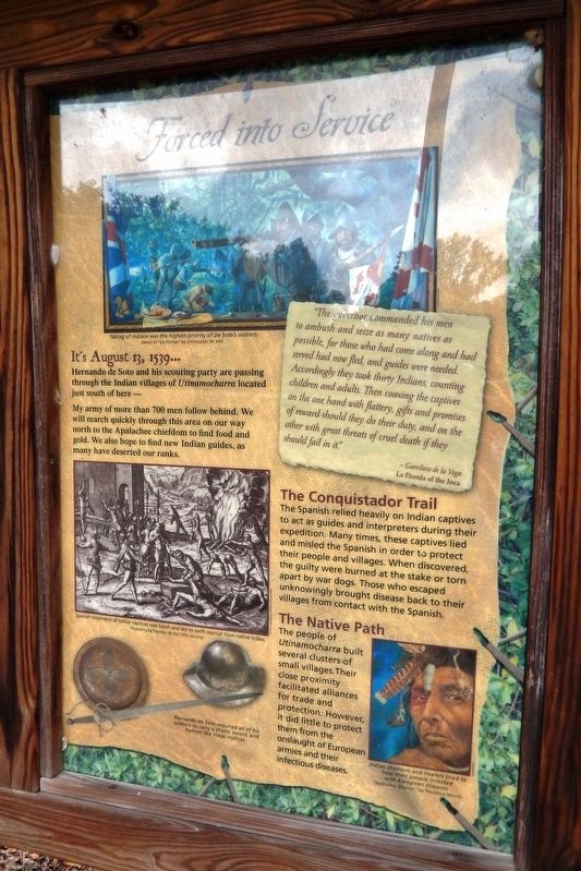
It’s August 13, 1539…
Hernando de Soto and his scouting party are passing through the Indian villages of Utinamocharra located just south of here –
My army of more than 700 men follow behind. We will march quickly through this area on our way north to the Apalachee chiefdom to find food and gold. We also hope to find new Indian guides, as many have deserted our ranks.
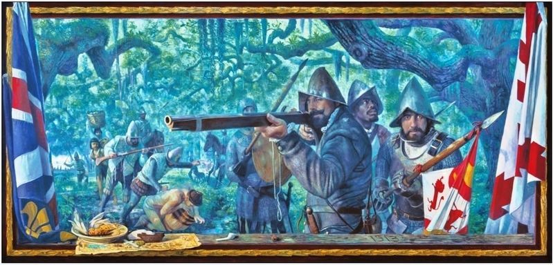
”The governor commanded his men to ambush and seize as many natives as possible, for those who had come along and had served had now fled, and guides were needed. Accordingly they took thirty Indians, counting children and adults. Then coaxing the captives on the one hand with flattery, gifts and promises of reward should they do their duty, and on the other with great threats of cruel death if they should fail in it.”
- Garcilaso de la Vega
La Florida of the Inca
The Conquistador Trail
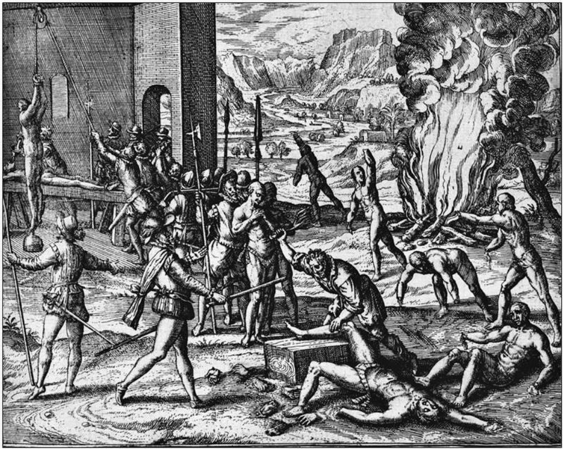
The Spanish relied heavily on Indian captives to act as guides and interpreters during their expedition. Many times, these captives lied and misled the Spanish in order to protect their people and villages. When discovered, the guilty were burned at the stake or torn apart by war dogs. Those who escaped unknowingly brought disease back to their villages from contact with the Spanish.
The Native Path
The people of Utinamocharra built several clusters of small villages. Their close proximity facilitated alliances for trade and protection. However, it did little to protect them from the onslaught of European armies and their infectious diseases.
Erected by Florida De Soto Trail; Florida Department of Transportation; the Florida Park Service; and the National Park Service, U.S. Department of the Interior. (Marker Number 19.)
Topics. This historical marker is listed in these topic lists: Colonial Era • Exploration • Native Americans • Notable Events. A significant historical date for this entry is August 13, 1539.
Location. 29° 40.725′ N, 82° 25.841′ W. Marker is in Gainesville, Florida, in Alachua County. Marker is on NW 83rd Street north of North West South Road, on the left when traveling north. Marker is located near the southeast corner of the Santa Fe College main parking lot on NW 83rd Street. Touch for map. Marker is at or near this postal address: 3000 NW 83rd Street, Gainesville FL 32606, United States of America. Touch for directions.
Other nearby markers. At least 8 other markers are within 5 miles of this marker, measured as the crow flies. Fort Clarke (approx. 1.4 miles away); Devil's Millhopper (approx. 2.9 miles away); Old Stage Road (approx. 3.4 miles away); Hogtown Settlement/Fort Hogtown (approx. 3.8 miles
away); Cpl Milton Lewis (approx. 4.3 miles away); Duane E. Dewey (approx. 4.3 miles away); K-9 Memorial (approx. 4.3 miles away); Combat Wounded Veterans (approx. 4.3 miles away). Touch for a list and map of all markers in Gainesville.
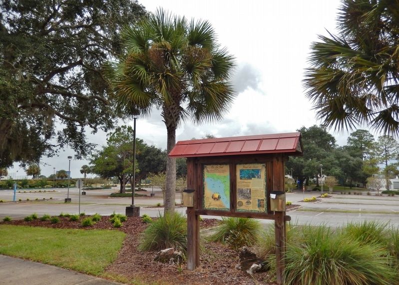
More about this marker. Marker is a large, composite plaque mounted vertically within a heavy-duty wooden kiosk.
Related markers. Click here for a list of markers that are related to this marker. Florida De Soto Trail
Also see . . . De Soto’s Expedition to North America. In 1536, de Soto obtained a royal commission to conquer and settle the region known as La Florida (now the southeastern United States), which had been the site of earlier explorations by Juan Ponce de León and others. De Soto set out from Spain in April 1538, set with 10 ships and 700 men. After a stop in Cuba, the expedition landed at Tampa Bay in May 1539. They moved inland and eventually set up camp for the winter at a small Indian village near present-day Tallahassee. (Submitted on November 5, 2018, by Cosmos Mariner of Cape Canaveral, Florida.)
Photographed By Cosmos Mariner, November 2, 2018
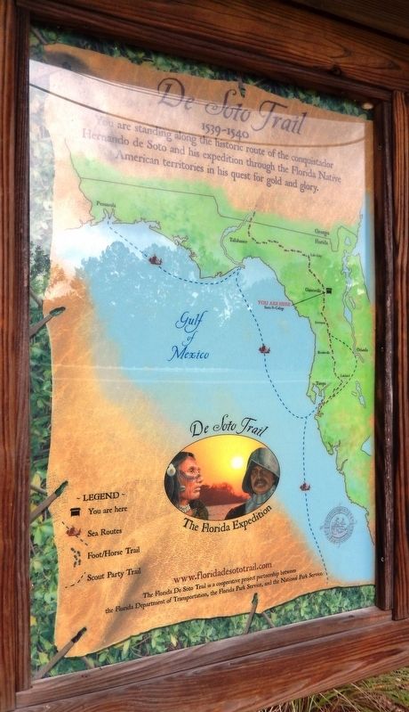
5. Florida De Soto Trail Map (panel to the left of marker in kiosk)
1539-1540
Credits. This page was last revised on January 2, 2021. It was originally submitted on November 5, 2018, by Cosmos Mariner of Cape Canaveral, Florida. This page has been viewed 354 times since then and 25 times this year. Last updated on November 21, 2018, by Cosmos Mariner of Cape Canaveral, Florida. Photos: 1, 2, 3. submitted on November 5, 2018, by Cosmos Mariner of Cape Canaveral, Florida. 4. submitted on December 27, 2018, by Cosmos Mariner of Cape Canaveral, Florida. 5, 6. submitted on November 5, 2018, by Cosmos Mariner of Cape Canaveral, Florida. • Bernard Fisher was the editor who published this page.
