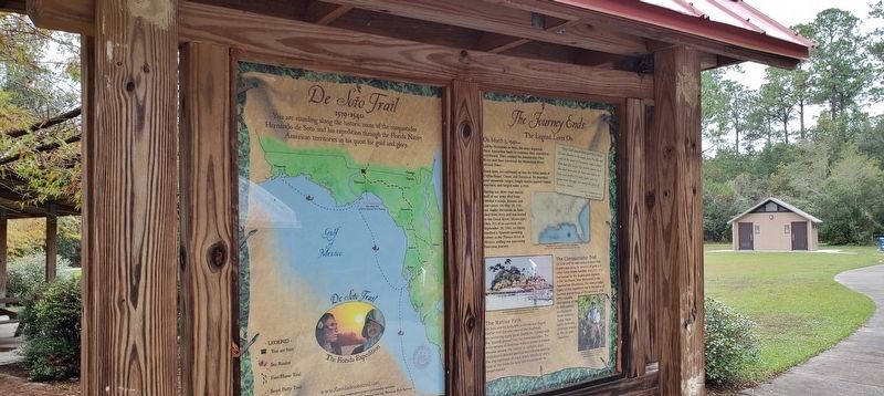
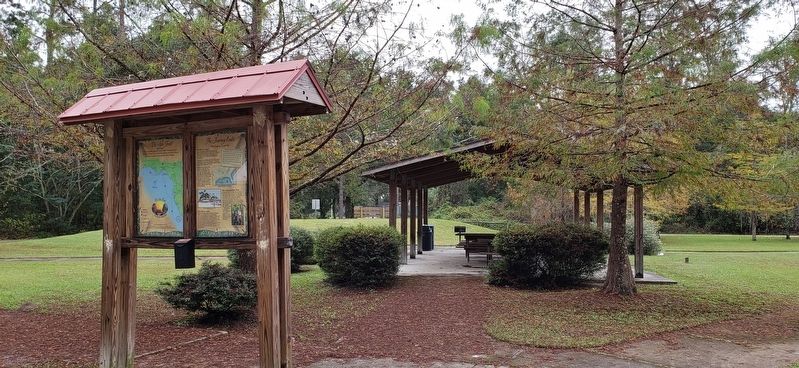
Tallahassee in Leon County, Florida — The American South (South Atlantic)
The Journey Ends
Florida De Soto Trail - The Legend Lives On
— March 3, 1540 —
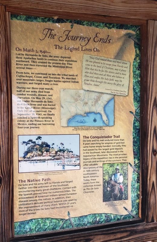
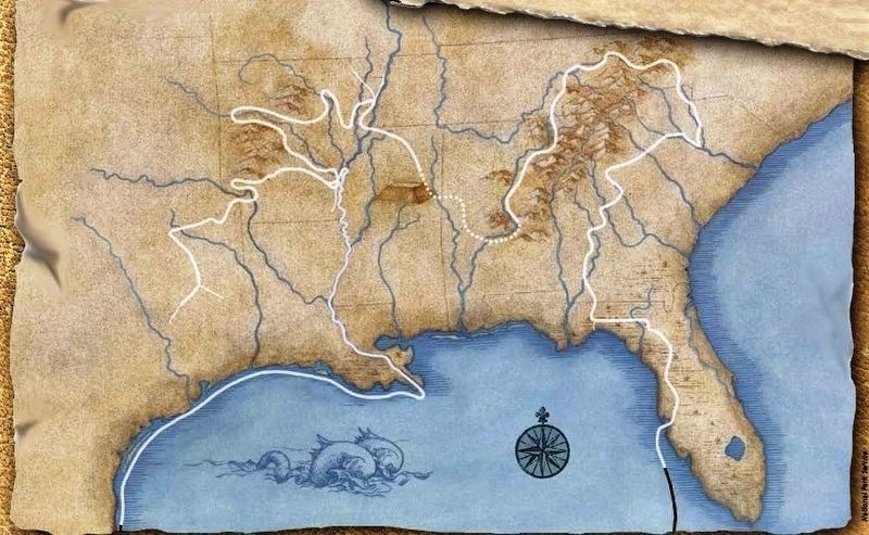
Led by Hernando de Soto, the army departed these Apalachee lands to continue their expedition northward. They crossed the present-day Flint River and then traversed the Mississippi River several times –
From here, we continued on into the tribal lands of Cofitachequi, Coosa, and Tuscalusa. We marched over mountain ranges, fought battles against Indian warriors, and forged many a river.
During our three-year march, half of our army died from combat wounds, disease, and starvation. On May 29, 1541, our leader Hernando de Soto died from fever and was buried in the Great River (Mississippi). Only 311 of us survived. On September 10, 1543, we finally reached a Spanish-speaking colony at the Pánuco River in Mexico, ending our harrowing four-year journey.
”May God reward them; and those whom He was pleased to let escape from Florida and come to the land of Christmas, may it please Him that this be for His service; and to those who died there are all those who believe in Him and confess His holy faith, may He grant them through His mercy the glory of Paradise. Amen.”
- Account by a Gentleman from Elvas
The De Soto Chronicles
The Conquistador Trail
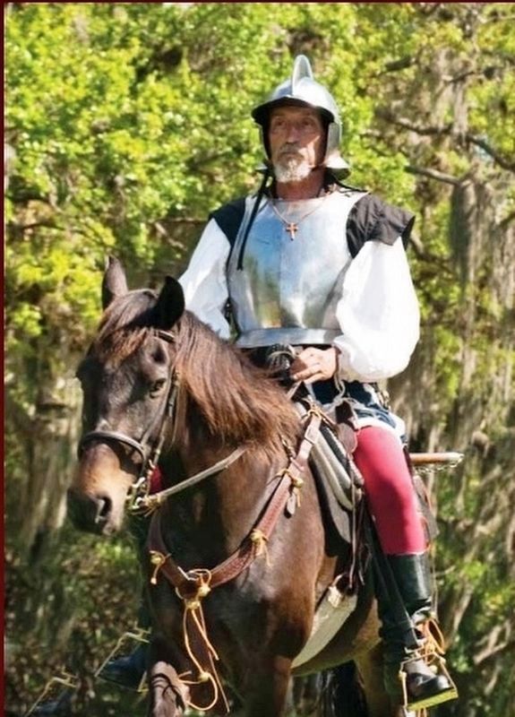
De Soto and his men endured more than 4 years searching for empires of gold but came home empty-handed. Ironically, they had passed by the largest gold deposits in the Southeast, later discovered in the Appalachian Mountains. The most priceless legacy of the expedition lies in the personal journals and writings of the survivors. They offer valuable descriptions of life in 16th-century southeastern North America. Today, these works form the collection known as The De Soto Chronicles.
The Native Path
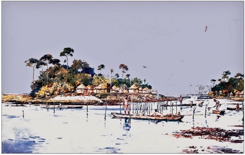
De Soto and his army left La Florida and forged farther into the unknown of the Southeast, encountering many great chiefdoms. Contact with the Spanish proved fatal for numerous tribes. The enslavement of American Indians spread European diseases among the natives. In addition, their civilization’s delicate political balance was upset by the imprisonment of many chiefs. Within 20 years, most of the tribes De Soto had encountered no longer existed.
Erected by Florida De Soto Trail, Florida Department of Transportation, the Florida Park Service, and the National Park Service. (Marker Number 34.)
Topics. This historical marker is listed in these topic lists: Colonial Era • Exploration • Native Americans. A significant historical date for this entry is March 3, 1539.
Location. 30° 38.645′ N, 84° 12.109′ W. Marker is in Tallahassee
, Florida, in Leon County. Marker can be reached from Iamonia Landing Road, 1.2 miles south of County Highway 12, on the left when traveling south. Marker is located on the park loop road inside Kate Ireland Park, near the center of the main parking lot. Touch for map. Marker is at or near this postal address: 12271 Iamonia Landing Road, Tallahassee FL 32312, United States of America. Touch for directions.
Other nearby markers. At least 8 other markers are within 12 miles of this marker, measured as the crow flies. Birthplace of Jackie Robinson (approx. 4.8 miles away in Georgia); The Blues Trail: Mississippi to Florida (approx. 6.7 miles away); Old Pisgah (approx. 6.9 miles away); Village of Miccosukee (approx. 10.2 miles away); Miccosukee United Methodist Church (approx. 10.2 miles away); Vickers Cemetery (approx. 10.9 miles away); Hickory Hill Cemetery of Welaunee Plantation (approx. 11.2 miles away); Saint Clement's Chapel ~ Church of The Advent (approx. 11.4 miles away). Touch for a list and map of all markers in Tallahassee.
More about this marker. Marker is a large, composite plaque mounted vertically within a heavy-duty wooden kiosk.
Regarding The Journey Ends. Hernando de Soto landed at Tampa Bay in 1539 and made his way north in search of gold and riches. A controversial figure in American history, Spanish Conquistador Hernando de Soto is regarded as a hero and brave explorer by some —
and an overzealous madman by others. The De Soto Trail shows him as a product of Medieval Europe, a brutal society forged over 780 years of warfare. It also tells the story of the Native American peoples of 16th-century Florida, a highly advanced collection of chiefdoms struggling against each other to gain dominance over their regions.
Related markers. Click here for a list of markers that are related to this marker. Florida De Soto Trail
Also see . . . De Soto’s Expedition to North America. In 1536, de Soto obtained a royal commission to conquer and settle the region known as La Florida (now the southeastern United States), which had been the site of earlier explorations by Juan Ponce de León and others. De Soto set out from Spain in April 1538, set with 10 ships and 700 men. After a stop in Cuba, the expedition landed at Tampa Bay in May 1539. They moved inland and eventually set up camp for the winter at a small Indian village near present-day Tallahassee. (Submitted on November 18, 2018, by Cosmos Mariner of Cape Canaveral, Florida.)
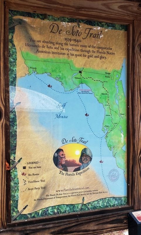
Photographed By Cosmos Mariner, November 14, 2018
5. Florida De Soto Trail Map (panel to the left of marker in kiosk)
1539-1540
Credits. This page was last revised on January 15, 2021. It was originally submitted on November 16, 2018, by Cosmos Mariner of Cape Canaveral, Florida. This page has been viewed 358 times since then and 21 times this year. Last updated on November 21, 2018, by Cosmos Mariner of Cape Canaveral, Florida. Photos: 1, 2, 3. submitted on November 17, 2018, by Cosmos Mariner of Cape Canaveral, Florida. 4. submitted on December 27, 2018, by Cosmos Mariner of Cape Canaveral, Florida. 5, 6, 7. submitted on November 17, 2018, by Cosmos Mariner of Cape Canaveral, Florida. • Andrew Ruppenstein was the editor who published this page.
