Near Fredericksburg in Spotsylvania County, Virginia — The American South (Mid-Atlantic)
Union Line Contained Along Mineral Springs Road
Inscription.
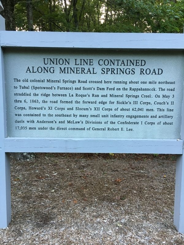
The old colonial Mineral Springs Road crossed here running about one mile northeast to Tubal (Spotswood's Furnace) and Scott's Dam Ford on the Rappahannock. The road straddled the ridge between La Roque's Run and Mineral Springs Creek. On May 3 thru 6, 1863, the road formed the forward edge for Sickle’s III Corps, Couch's II Corps, Howard’s XI Corps, and Slocum's XII Corps of about 62,041 men. This line was contained to the southeast by many small unit infantry engagements and artillery duels with Anderson's and McLaw's Divisions of the Confederate I Corps of about 17,035 men under the direct command of General Robert E. Lee.
Topics. This historical marker is listed in this topic list: War, US Civil. A significant historical date for this entry is May 3, 1863.
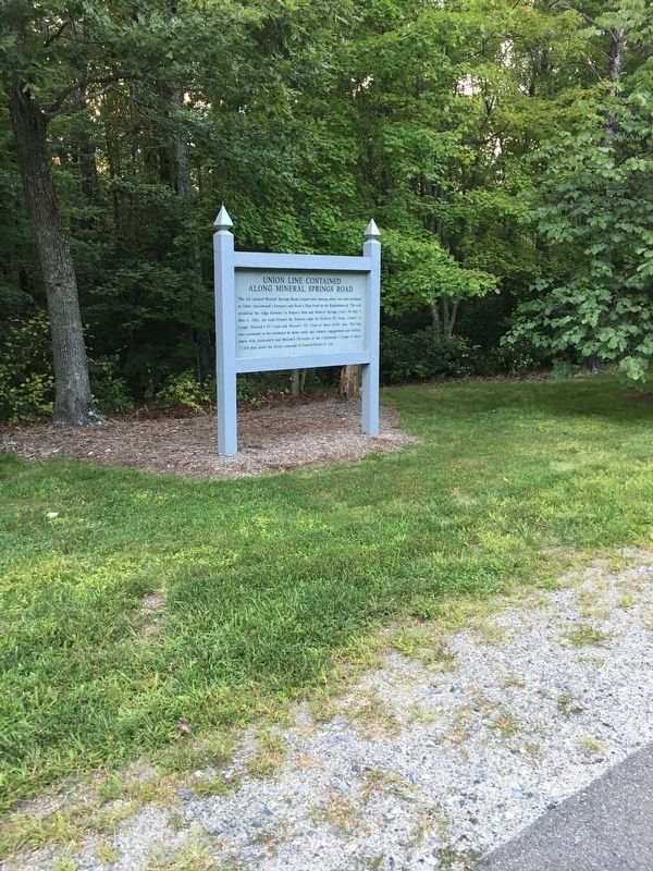
Location. 38° 19.332′ N, 77° 38.254′ W. Marker is near Fredericksburg, Virginia, in Spotsylvania County. Marker is on Laroque Run Drive, 0.2 miles west of Formation Drive, on the right when traveling south. Marker located within a home division named Chancellorsville Estates, an area of the Chancellorsville Battlefield excluded from preservation. Touch for map. Marker is at or near this postal address: 8613 Laroque Run Dr, Fredericksburg VA 22407, United States of America. Touch for directions.
Other nearby markers. At least 8 other markers are within walking distance of this marker. The 124th New York Regiment’s First Battle (approx. 0.2 miles away); Chancellorsville Campaign (approx. ¼ mile away); Apex of Hooker’s Last Line (approx. 0.3 miles away); Union Lifeline (approx. 0.3 miles away); Hooker's Final Bastion (approx. 0.4 miles away); Lives Transformed (approx. 0.4 miles away); Chancellorsville (approx. 0.4 miles away); Colquitt’s Attack (approx. 0.4 miles away). Touch for a list and map of all markers in Fredericksburg.
Credits. This page was last revised on February 2, 2023. It was originally submitted on September 14, 2017, by Brandon D Cross of Flagler Beach, Florida. This page has been viewed 297 times since then and 17 times this year. Last updated on November 21, 2018, by Devry Becker Jones of Washington, District of Columbia. Photos: 1, 2. submitted on September 14, 2017, by Brandon D Cross of Flagler Beach, Florida. • Bernard Fisher was the editor who published this page.

