Mesilla in Doņa Ana County, New Mexico — The American Mountains (Southwest)
La Posta de Mesilla
Topics and series. This historical marker is listed in these topic lists: Forts and Castles • Roads & Vehicles. In addition, it is included in the Butterfield Overland Mail series list.
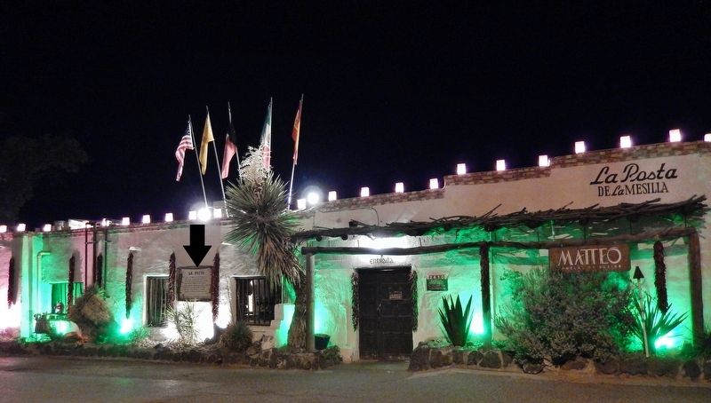
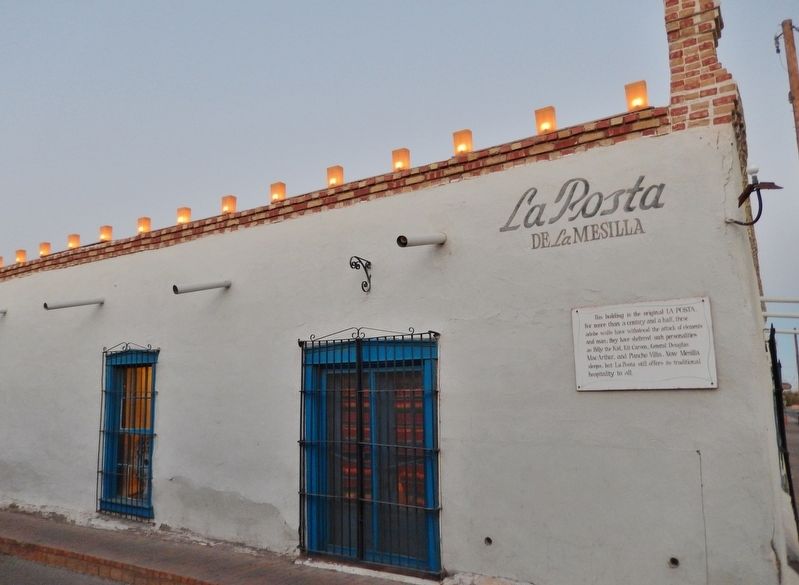
Location. 32° 16.451′ N, 106° 47.676′ W. Marker is in Mesilla, New Mexico, in Doņa Ana County. Marker is on Calle De San Albino south of Calle de Parian, on the right when traveling south. Marker mounted at eye-level, directly on the subject building, near the main front entrance. Touch for map. Marker is at or near this postal address: 2410 Calle De San Albino, Mesilla NM 88046, United States of America. Touch for directions.
Other nearby markers. At least 8 other markers are within walking distance of this marker. Civil War Battle of Mesilla & Major Lynde's Retreat (within shouting distance of this marker); Billy the Kid (within shouting distance of this marker); Mesilla Plaza (within shouting distance of this marker); Plaza de Mesilla (within shouting distance of this marker); All Servicemen and Women (within shouting distance of this marker); Head Quarters, Dept. of New Mexico (within shouting distance of this marker); The Gadsden Purchase Celebration (within shouting distance of this marker); Butterfield Overland Trail (within shouting distance of this marker). Touch for a list and map of all markers in Mesilla.
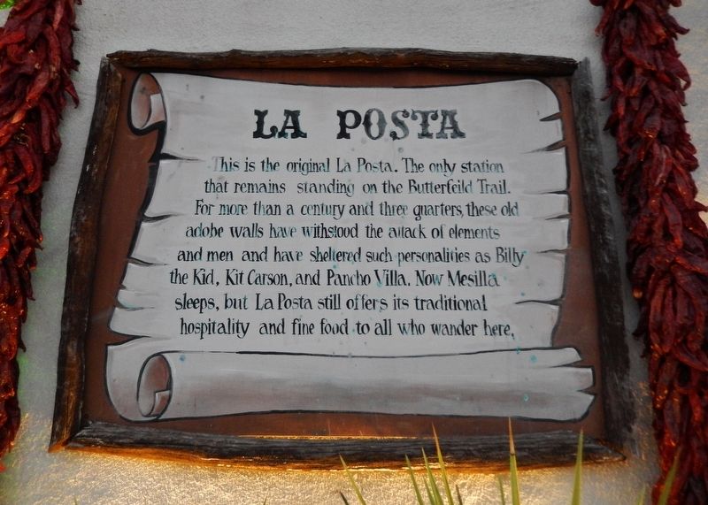
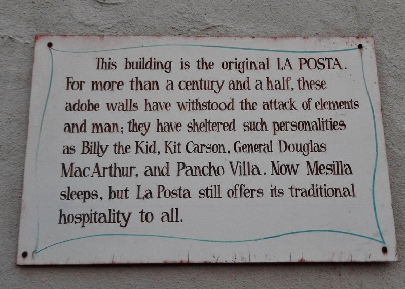
More about this marker. Marker is a large painted metal plaque, mounted in a rustic wooden frame.
Regarding La Posta de Mesilla. The La Posta building is currently occupied by a restaurant.
Also see . . . Butterfield Overland Mail in New Mexico Territory. The Butterfield Overland Mail was a transport and mail delivery system that employed stagecoaches that traveled on a specific route between Saint Louis, Missouri and San Francisco, California and which passed through the New Mexico Territory. It was created by the United States Congress on March 3, 1857, and operated until March 30, 1861. The route that was operated extended from where the ferry across the Colorado
River to Fort Yuma Station, California was located, through New Mexico Territory via, Tucson to the Rio Grande and Mesilla, New Mexico then south to Franklin, Texas, midpoint on the route. (Submitted on November 29, 2018, by Cosmos Mariner of Cape Canaveral, Florida.)
Credits. This page was last revised on September 24, 2020. It was originally submitted on November 28, 2018, by Cosmos Mariner of Cape Canaveral, Florida. This page has been viewed 521 times since then and 43 times this year. Photos: 1, 2, 3, 4. submitted on November 29, 2018, by Cosmos Mariner of Cape Canaveral, Florida. • Andrew Ruppenstein was the editor who published this page.


