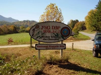
Bryson City in Swain County, North Carolina — The American South (South Atlantic)
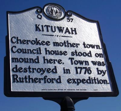
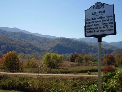
Kituwah
Erected 2007 by North Carolina Office Of Archives and History. (Marker Number Q-57.)
Topics and series. This historical marker is listed in these topic lists: Native Americans • Settlements & Settlers • War, US Revolutionary. In addition, it is included in the North Carolina Division of Archives and History series list. A significant historical year for this entry is 1776.
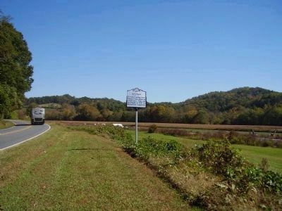
Location. 35° 26.373′ N, 83° 24.204′ W. Marker is in Bryson City, North Carolina, in Swain County. Marker is on Governors Island Rd (U.S. 19). Touch for map. Marker is in this post office area: Bryson City NC 28713, United States of America. Touch for directions.
Other nearby markers. At least 8 other markers are within 4 miles of this marker, measured as the crow flies. Yonaguska (approx. 0.3 miles away); Cherokee Indian Reservation / (Leaving) Cherokee Reservation (approx. 2.4 miles away); War Dead of Swain County (approx. 2˝ miles away); Tsali (approx. 2˝ miles away); Deep Creek (approx. 2˝ miles away); Ellen Black Winston (approx. 2.7 miles away); Horace Kephart (approx. 2.7 miles away); William H. Thomas (approx. 3.2 miles away). Touch for a list and map of all markers in Bryson City.
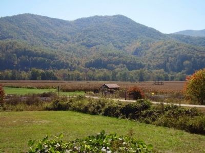
Also see . . . Kituwah "Mother City" . “Kituwa is the site of an ancient earthwork mound. Despite having been burned repeatedly by the Cherokee for agriculture during the colonial period and plowed over for corn cultivation since Indian Removal in the 1830s, the mound is still visible. During the period of European-American agricultural uses, the larger property was called Ferguson’s Field. The mound is 170 feet (52 m) in diameter and five feet tall, although it was once taller. It was the foundation of a structure which housed the sacred flame of the Cherokee, which was to be kept burning at all times.” (Submitted on October 17, 2010, by Tom Gillard of Tullahoma, Tennessee.)
Credits. This page was last revised on July 2, 2021. It was originally submitted on October 19, 2008, by Stanley and Terrie Howard of Greer, South Carolina. This page has been viewed 1,587 times since then and 63 times this year. Photos: 1, 2, 3, 4, 5. submitted on October 19, 2008, by Stanley and Terrie Howard of Greer, South Carolina. • Kevin W. was the editor who published this page.
