St. Augustine in St. Johns County, Florida — The American South (South Atlantic)
Fort Mose
Fort Mose Historic State Park
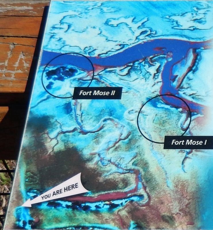
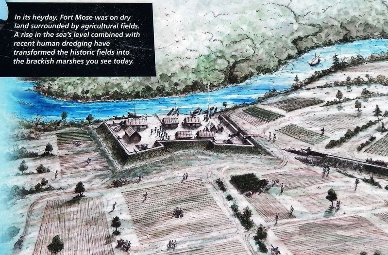
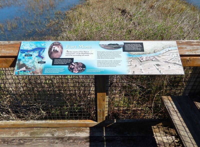
Working together, archaeologists and historians have pieced together the story of Fort Mose using historic documents, maps, aerial photos, and excavation. They identified this island as site of the second fort (1752-1763), and believe the remains of the first fort (1738-1740) are currently underwater.
Evidence of Fort Mose is humble — bits and pieces of everyday life buried in just a few inches of brown soil. These fragile remains and a few colonial documents are the lone testaments to one of our country's most important historical sites.
Archaeologists revealed a thin layer of brown soil that contained evidence of Fort Mose (below the shell layer and above the golden soil).
Erected by Fort Mose Historic State Park.
Topics. This historical marker is listed in these topic lists: African Americans • Colonial Era • Forts and Castles • Parks & Recreational Areas.
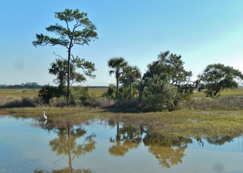
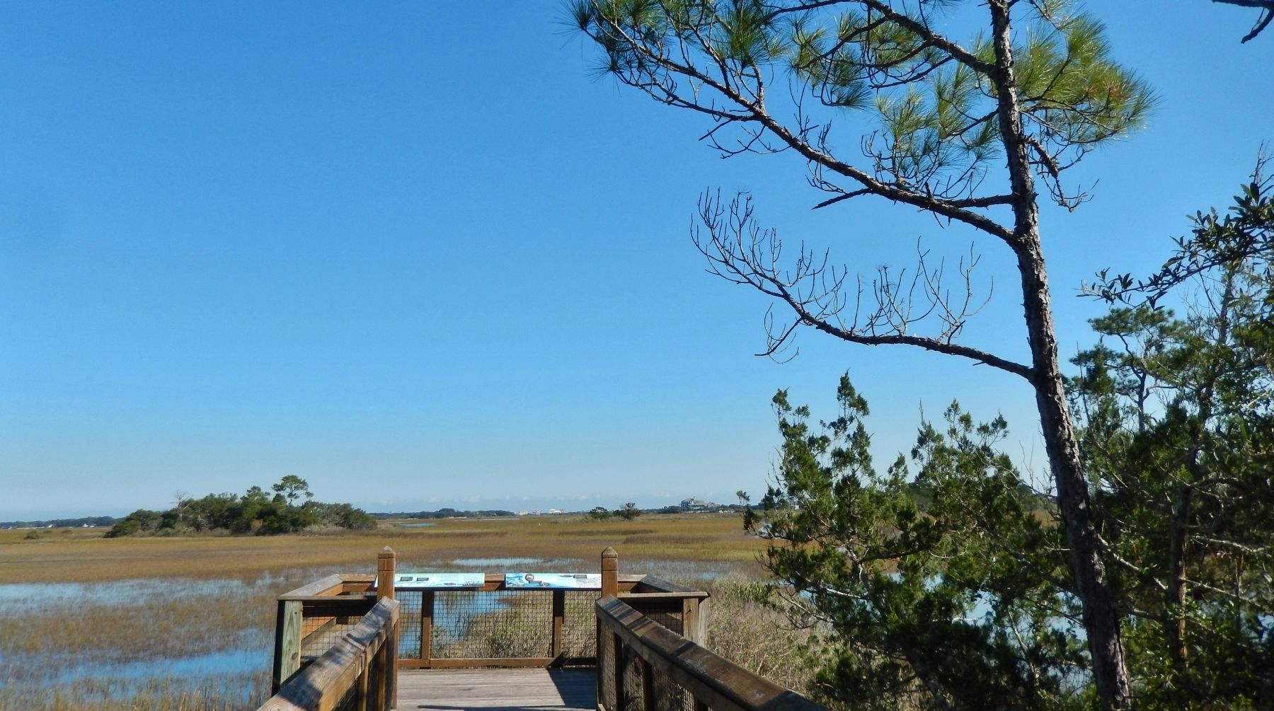
Location. 29° 55.714′ N, 81° 19.381′ W. Marker is in St. Augustine, Florida, in St. Johns County. Marker can be reached from Fort Mose Trail, 0.2 miles east of North Ponce De Leon Boulevard (U.S. 1) when traveling east. Marker located in Fort Mose Historic Historic State Park, at the east end of the park boardwalk, overlooking the Tolomato River wetlands and site of Fort Mose. Touch for map. Marker is at or near this postal address: 15 Fort Mose Trail, Saint Augustine FL 32084, United States of America. Touch for directions.
Other nearby markers. At least 8 other markers are within walking distance of this marker. Evacuation (about 700 feet away, measured in a direct line); Bloody Mose (about 700 feet away); Fort Mose II (about 700 feet away); Fort Mose Site (about 700 feet away); El Pueblo de Gracia Real de Santa Teresa de Mose (about 700 feet away); Fort Mose I (about 700 feet away); Escape & Flight (about 700 feet away); British Enslavement (about 700 feet away). Touch for a list and map of all markers in St. Augustine.
Related markers. Click here for a list of markers that are related to this marker. Fort Mose Historic State Park
Also see . . . Fort Mose Historic State Park. Florida Department of Environmental Protection (Submitted on December 3, 2018.)
Credits. This page was last revised on January 2, 2019. It was originally submitted on December 1, 2018, by Cosmos Mariner of Cape Canaveral, Florida. This page has been viewed 467 times since then and 45 times this year. Photos: 1. submitted on December 1, 2018, by Cosmos Mariner of Cape Canaveral, Florida. 2, 3, 4, 5, 6. submitted on December 2, 2018, by Cosmos Mariner of Cape Canaveral, Florida. • Bernard Fisher was the editor who published this page.

