Marker Logo HMdb.org THE HISTORICAL
MARKER DATABASE
“Bite-Size Bits of Local, National, and Global History”
Asheville in Buncombe County, North Carolina — The American South (South Atlantic)
 

Biltmore House


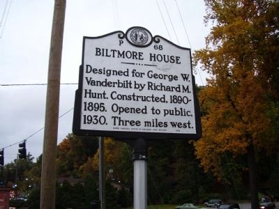
Biltmore House Marker image. Click for full size.
Photographed By Stanley and Terrie Howard, October 17, 2008
1. Biltmore House Marker
Inscription. Designed for George W. Vanderbilt by Richard M. Hunt. Constructed, 1890-1895. Opened to public, 1930. Three miles west.
 
Erected 2003 by North Carolina Office Of Archives and History. (Marker Number P-68.)
 
Topics and series. This historical marker is listed in these topic lists: Forts and CastlesLandmarksNotable BuildingsNotable Places. In addition, it is included in the National Historic Landmarks, and the North Carolina Division of Archives and History series lists. A significant historical year for this entry is 1930.
 
Location. 35° 34.034′ N, 82° 32.7′ W. Marker is in Asheville, North Carolina, in Buncombe County. Marker is at the intersection of McDowell St. (U.S. 25) and Biltmore Estate Drive on McDowell St.. Touch for map. Marker is in this post office area: Asheville NC 28803, United States of America. Touch for directions.
 
Other nearby markers. At least 8 other markers are within walking distance of this marker. Flood of 1916 (about 700 feet away, measured in a direct line); The County of Buncombe (about 700 feet away); Rutherford Trace (approx. ¼ mile away); George Vanderbilt's Biltmore (approx. 0.6 miles away); Newton Academy (approx. 0.6 miles away); Smith-McDowell House (approx. 0.7 miles away); St. Genevieve ~ Of ~ The ~ Pines
Paid Advertisement
Click on the ad for more information.
Please report objectionable advertising to the Editor.
Click or scan to see
this page online
(approx. 0.7 miles away); Asheville Normal School (approx. 0.8 miles away). Touch for a list and map of all markers in Asheville.
 
Also see . . .  Wikipedia enrty for the Biltmore Estate. National Historic Landmark (Submitted on April 27, 2010, by Richard E. Miller of Oxon Hill, Maryland.) 
 
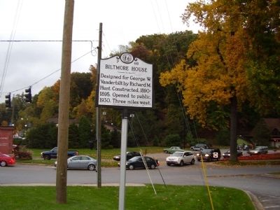
Biltmore House Marker image. Click for full size.
Photographed By Stanley and Terrie Howard, October 17, 2008
2. Biltmore House Marker
Biltmore House Marker - image. Click for full size.
Photographed By Richard E. Miller, April 18, 2010
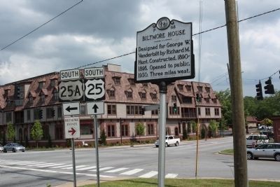
3. Biltmore House Marker -
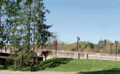
- Visible to the right at the end of the McDowell St. Viaduct, U.S. Rte. 25 from Asheville.
Biltmore House Information Building - viewed from near marker image. Click for full size.
Photographed By Richard E. Miller, April 18, 2010
4. Biltmore House Information Building - viewed from near marker
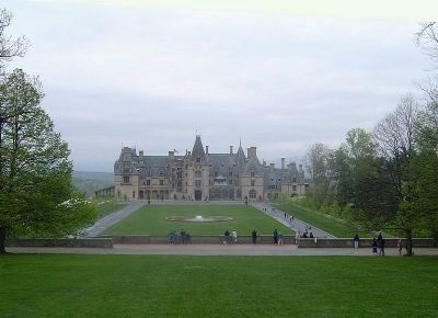
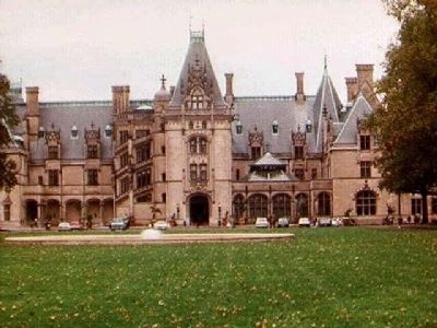
Biltmore House image. Click for full size.
Courtesy of Wikipedia
5. Biltmore House
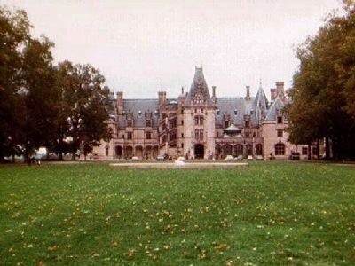
Biltmore House image. Click for full size.
Photographed By Mike Stroud, October 1996
6. Biltmore House
Biltmore House image. Click for full size.
Photographed By Mike Stroud, October 1996
7. Biltmore House
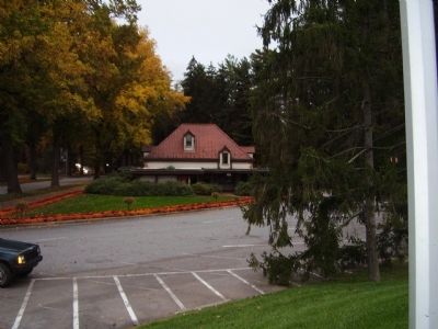
Welcome center to the Biltmore House image. Click for full size.
Photographed By Stanley and Terrie Howard, October 17, 2008
8. Welcome center to the Biltmore House
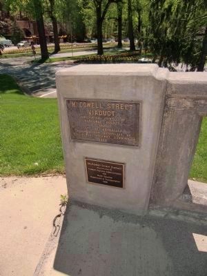
McDowell Street Viaduct construction plaques near marker image. Click for full size.
Photographed By Richard E. Miller, April 18, 2010
9. McDowell Street Viaduct construction plaques near marker
Constructed Jointly by
Buncombe County
and
City of Asheville
Designed and Supervised by
N.C. State Highway Commission
1928
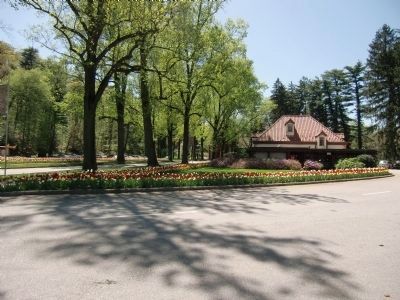
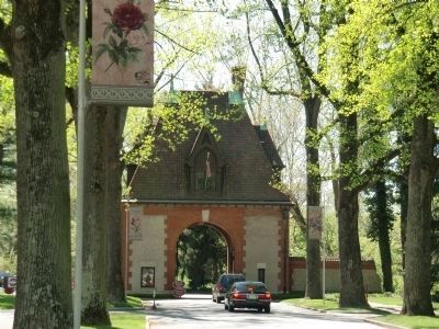
Gatehouse off U.S. Rte 25 - near marker at entrance to the Biltmore Estate image. Click for full size.
Photographed By Richard E. Miller, April 18, 2010
10. Gatehouse off U.S. Rte 25 - near marker at entrance to the Biltmore Estate
Biltmore House Marker at McDowell St. (U.S. 25) and Biltmore Estate Drive image. Click for full size.
Photographed By Mike Stroud, May 22, 2010
11. Biltmore House Marker at McDowell St. (U.S. 25) and Biltmore Estate Drive
 
 
Credits. This page was last revised on June 22, 2021. It was originally submitted on October 19, 2008, by Stanley and Terrie Howard of Greer, South Carolina. This page has been viewed 2,213 times since then and 137 times this year. Photos:   1, 2. submitted on October 19, 2008, by Stanley and Terrie Howard of Greer, South Carolina.   3, 4. submitted on May 1, 2010, by Richard E. Miller of Oxon Hill, Maryland.   5. submitted on November 13, 2009, by Michael Sean Nix of Spartanburg, South Carolina.   6, 7. submitted on November 14, 2009, by Mike Stroud of Bluffton, South Carolina.   8. submitted on October 19, 2008, by Stanley and Terrie Howard of Greer, South Carolina.   9, 10. submitted on May 1, 2010, by Richard E. Miller of Oxon Hill, Maryland.   11. submitted on June 4, 2010, by Mike Stroud of Bluffton, South Carolina. • Bill Pfingsten was the editor who published this page.
Share this page.  
Share on Tumblr
m=12704

CeraNet Cloud Computing sponsors the Historical Marker Database.
This website earns income from purchases you make after using our links to Amazon.com. We appreciate your support.
Paid Advertisement
Apr. 25, 2024