Korčula in Opcina Korcula, Dubrovnik-Neretva, Croatia — Central and Southeastern Europe
Silk Road
Put Svile
Inscription.
Only the English text (bottom) has been transcribed. To view the Croatian text (top), click on the marker image to enlarge and display it.
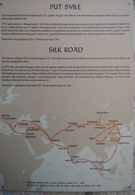
The journey of Marco Polo to China began in 1271. His father Nicola and uncle Mateo traveled a second time to China, taking with them the young Marco Polo.
In 1275, they arrived in Shangdu where was the summer residence of the Mongo Khan and later the capital of the empire Kanbalik. Marco Polo was in the service of Kublai Khan for 17 years. Travels in and outside China enabled him to explore many unknown places full of attractions and wonders. Some of Marco Polo's stories were almost fantastic for the then Europeans. For example, those on the payment with banknotes, asbestos, coal-burning stone, cheap porcelain, silk manufacturing, religious tolerance, far-away lands, wondrous cities and various customs, etc.
Marco Polo remained in China until 1291, He returned to Venice in 1295.
Topics. This historical marker is listed in these topic lists: Industry & Commerce • Roads & Vehicles.
Location. 42° 57.707′ N, 17° 8.18′ E. Marker is in Korčula, Dubrovacko-neretvanska (Dubrovnik-Neretva), in Opcina Korcula. Marker is on Ulica Depolo close to Ulica Don Pavla. Touch for map. Marker is in this post office area: Korčula, Dubrovacko-neretvanska 20260, Croatia. Touch for directions.
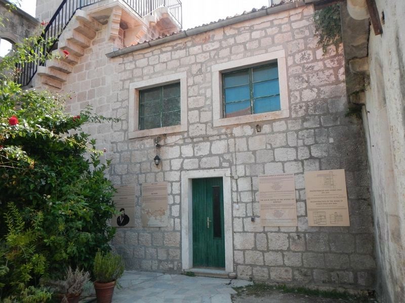
Other nearby markers. At least 5 other markers are within walking distance of this marker. The Naval Battle in the Waters Off Korčula (here, next to this marker); Marco Polo (here, next to this marker); Reconstruction of the House of Marco Polo 2015.-2020. (here, next to this marker); The Memorial Tablet (about 150 meters away, measured in a direct line); The Town of Korčula (about 150 meters away).
Also see . . . Silk Road - Ancient History Encyclopedia. The Silk Road was an ancient network of trade routes, formally established during the Han Dynasty of China, which linked the regions of the ancient world in commerce between 130 BCE-1453 CE....The closing of the Silk Road forced merchants to take to the sea to ply their trade, thus initiating the Age of Discovery which led to world-wide interaction and the beginnings of a global community. (Submitted on December 5, 2018, by Barry Swackhamer of Brentwood, California.)
Credits. This page was last revised on February 10, 2022. It was originally submitted on December 5, 2018, by Barry Swackhamer of Brentwood, California. This page has been viewed 299 times since then and 28 times this year. Photos: 1, 2. submitted on December 5, 2018, by Barry Swackhamer of Brentwood, California.

