Downtown in Trenton in Mercer County, New Jersey — The American Northeast (Mid-Atlantic)
Mill Hill Park
From Millpond to City Park
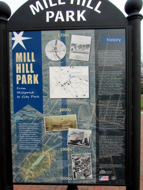
It is difficult to imagine that Mill Hill Park has ever been anything but a pleasant urban green space astride the Assunpink Creek, but this land had undergone remarkable changes. Over the past three centuries, it has been home to a mill and millpond, a recreational retreat, a temperance hall, an athenaeum, an ironworking shop, a slaughterhouse, and numerous stores and dwellings.
history
For the first 200 years or so of Trenton history, a millpond covered most of Mill Hill Park. The pond formed upstream of a dam just above the South Broad Street Bridge. Mahlon Stacy’s gristmill, established 1679, sat on the creek’s south bank adjacent to the dam. The gristmill, later known as Trent’s Mills and the Trenton Mills, was reconfigured as a cotton picking and carding mill in 1814 and as a paper mill in 1851.
Over the years, the old millpond became a popular spot for swimming, fishing, boating and even ice skating. In the late 1840s, Andrew Quintin, an enterprising businessman, opened Washington’s Retreat just upstream of the mill. In those days, a “retreat” was a place to escape the noise, smell and crowds of the city. Washington’s Retreat offered boat rentals, bowling and ice cream. Quintin’s clever play on words acknowledged that his business was located on the spot where General Washington’s Continental Army had tactically retreated from the British during the Second Battle of Trenton on January 2, 1777.
Nearby and complementing the activities at Washington’s Retreat were two important buildings. The first, Temperance Hall, was built in 1851 at the corner of South Broad and East Front Streets to offer wholesome family entertainment in an alcohol-free setting. The second, the Trenton Athenaeum, a playhouse on East Front Street, was also built in the 1850s. But as the city continued to grow, the millpond’s surroundings became less attractive. An ironworks and slaughterhouse on the north side of the pond polluted the air and water. After the mill burned in 1872, the pond was filled to create developable land. Jackson Street was extended across the Assunpink with the construction of an iron-truss bridge in 1887. Eventually, the creek was hemmed in by walls and buildings.
Pollution was not the least of the Assunpink’s woes. Floods, made worse by development of the watershed, regularly rushed down the creek. In 1906, the city commissioned the famous Olmsted landscape architecture firm to design a park along the creek, but this plan was never implemented. During the 1950s and 1960s, Trenton’s downtown declined rapidly. Stores closed and buildings fell into disrepair. The city sought to stem the tide of decay by creating a new park on reclaimed land. After extensive demolition and landscaping, Mill Hill Park was officially dedicated in June 1973.
Erected 2018.
Topics and series. This historical marker is listed in these topic lists: Industry & Commerce • War, US Revolutionary. In addition, it is included in the Former U.S. Presidents: #01 George Washington series list. A significant historical date for this entry is January 2, 1777.
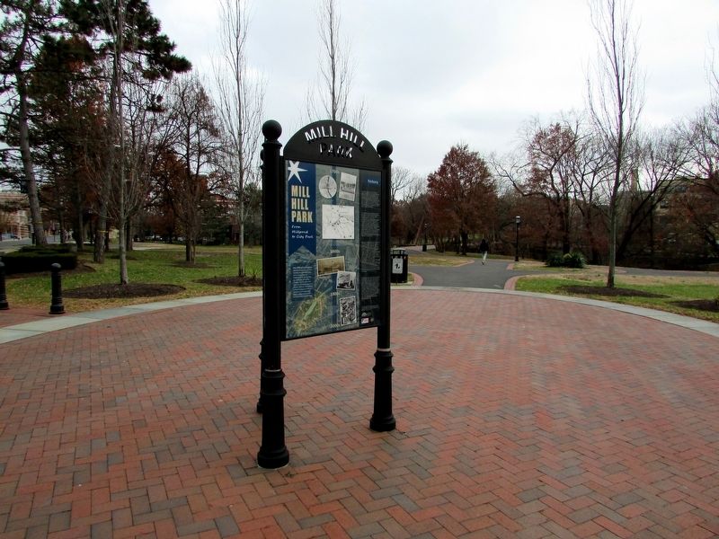
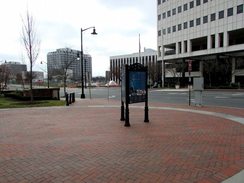
Location. 40° 13.129′ N, 74° 45.84′ W. Marker is in Trenton, New Jersey, in Mercer County. It is in Downtown. Marker is at the intersection of S Broad Street and E Front Street, on the right when traveling north on S Broad Street. The marker is at Mill Hill Park. Touch for map. Marker is in this post office area: Trenton NJ 08608, United States of America. Touch for directions.
Other nearby markers. At least 8 other markers are within walking distance of this marker. Historic Downtown Trenton (here, next to this marker); The Second Battle of Trenton (here, next to this marker); Revolutionary War Patriots (a few steps from this marker); Washington’s Triumphal Arch (within shouting distance of this marker); Assunpink Creek (within shouting distance of this marker); a different marker also named Assunpink Creek (within shouting distance of this marker); a different marker also named Assunpink Creek (within shouting distance of this marker); a different marker also named Assunpink Creek (within shouting distance of this marker). Touch for a list and map of all markers in Trenton.
More about this marker. The center of the marker contain a series of pictures relating to Mill Hill Park over four centuries.
1700s
Pictures of “Trenton Mills and the South Broad Street Bridge, circa 1804.” and “Ice skaters on the millpond, circa 1850.”and a “Map of 1848 showing the mill, millpond, and the Washington Baths, later known as Washington’s Retreat, that once occupied Mill Hill Park. Building lots have been surveyed along the edges of the pond, but not built upon yet. From C. Potts, Map of Lots, Mill Sites and Water Power, The Property of Henry McCall.”
1800s
Two photographs appear here. One is of “Washington’s Retreat, circa 1865.” The second has a caption of “The entrance to Mill Hill Park (where you are currently standing) looked like this in the 1870s. The building on the left is Temperance Hall (South Broad Street frontage), built in 1851 as an alcohol-free public meeting place.
1900s
The photo here depicts an “Aerial photograph showing demolition for Mill Hill Park, 1972. Along South Broad Street (bottom) are empty lots from removal of the Goldberg Department Store and adjacent buildings.”
Credits. This page was last revised on February 16, 2023. It was originally submitted on December 6, 2018, by Bill Coughlin of Woodland Park, New Jersey. This page has been viewed 367 times since then and 20 times this year. Photos: 1, 2, 3. submitted on December 6, 2018, by Bill Coughlin of Woodland Park, New Jersey.


