Hvar in Opcina Hvar, Split-Dalmatia, Croatia — Central and Southeastern Europe
St. Mary's Gate
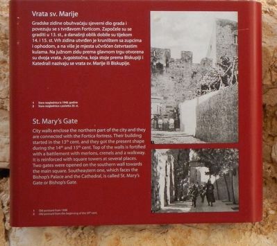
Vrata sv. Marije
Inscription.
Only the English text (bottom) has been transcribed. To view the Croatian text (top), click on the marker image to enlarge and display it.
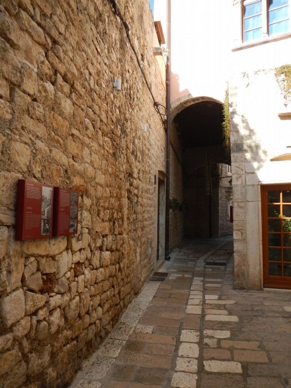
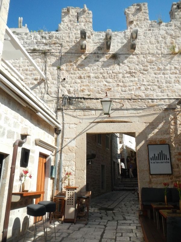
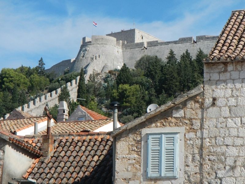
City walls enclose the northern part of the city and they are connected with the Frotica fortress. Their building started in the 13th cent. and they got the present shape during the 14th and 15th cent. Top of the walls is fortified with a battlement with merlons, crenels and a walkway. This is reinforced with square towers at several places. Two gates were opened on the southern wall toward the main square. Southeastern one, which faces the Bishop's Palace and the Cathedral, is called St. Mary's Gate or Bishop's Gate.
Topics. This historical marker is listed in this topic list: Forts and Castles.
Location. 43° 10.361′ N, 16° 26.598′ E. Marker is in Hvar, Splitsko-dalmatinska (Split-Dalmatia), in Opcina Hvar. Marker is on Dr. Mate Milicica close to Petra Hektorovica, on the left when traveling north. Touch for map. Marker is at or near this postal address: Dr Mate Milicica 7, Hvar, Splitsko-dalmatinska 21450, Croatia. Touch for directions.
Other nearby markers. At least 8 other markers are within walking distance of this marker. City Walls, 15th cent. (here, next to this marker); Jakša Palace, 15th cent. (here, next to this marker); Church of the Holy Spirit, 15th cent. (within shouting distance of this marker); City Gate / Porta Badoer (within shouting distance of this marker); St. Stephen's square / Piazza, 15th cent. (within shouting distance of this marker); Paladini Palace, lower, 15th - 19th cent. (about 90 meters away, measured in a direct line); a different marker also named City Walls, 15th cent. (about 90 meters away); Porta Maestra (about 90 meters away). Touch for a list and map of all markers in Hvar.
More about this marker. There is only foot traffic inside Hvar's Old Town district.
Credits. This page was last revised on February 10, 2022. It was originally submitted on December 7, 2018, by Barry Swackhamer of Brentwood, California. This page has been viewed 151 times since then and 15 times this year. Photos: 1, 2, 3, 4. submitted on December 7, 2018, by Barry Swackhamer of Brentwood, California.


