Wick in Highland, Scotland, United Kingdom — Northwestern Europe (the British Isles)
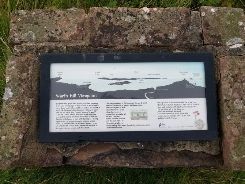
Warth Hill Viewpoint
For 5000 years people have settled in the land stretching before you, leaving signs of their burials in the chamibered cairns found on the island of Stroma and on the summit of Warth Hill that rises behind this point. It takes its name from the old Norse word “Vartha” meaning “to watch”. In the 9th century Vikings made their mark using this coast and the islands as centres from which to raid but they also settled down to make a life farming and fishing. Signs of this can be seen in coastal middens (refuge dumps) at Robbieshaven east of John o’ Groats. It was not until the 14th century that Caithness became free of Norwegian rule and became part of Scotland.
The staring windows of the houses on the now deserted island of Stroma tell of happier and busier times. Over seventy houses were island homes to a people whose lives centred around their knowledge of the sea. They were fishers and boat builders and the most skilled of them acted as pilots to see the sailing ships safely through the treacherous waters of the Pentland Firth.
The population of the island reached 300 in the early 1900's but as the fish they hunted moved out of reach of their small, boats their lifestyle became unsustainable. The last family left in the 1960's and nature has reclaimed the island. Thousands of seabirds breed on its cliffs and grasslands, amongst troops of the rare and tiny Scottish Primrose.
Topics. This historical marker is listed in this topic list: Settlements & Settlers.
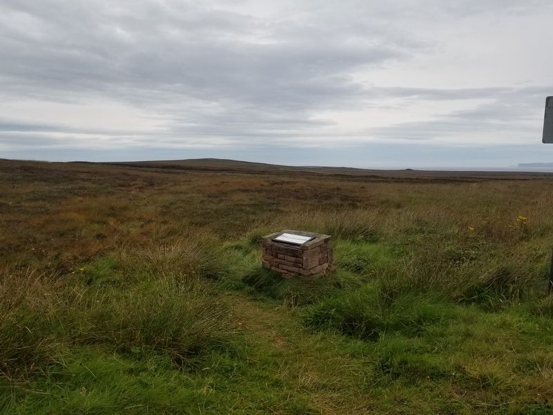
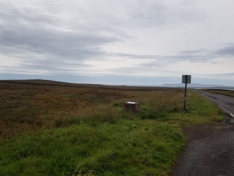
Location. 58° 36.916′ N, 3° 4.862′ W. Marker is in Wick, Scotland, in Highland. Marker is on Scotland Route A99, 3.2 kilometers south of of the village of John o' Groats, on the right when traveling south. Touch for map. Marker is in this post office area: Wick, Scotland KW1 4XX, United Kingdom. Touch for directions.
Other nearby markers. At least 6 other markers are within 19 kilometers of this marker, measured as the crow flies. Duncansby Head Lighthouse (approx. 4.5 kilometers away); Nybster Broch (approx. 7 kilometers away); Keiss Quoad Sacra Parish War Memorial (approx. 9 kilometers away); The Castle & Gardens of Mey (approx. 9.1 kilometers away); Royal Visit - Castle of Mey (approx. 9.1 kilometers away); Wick War Memorial (approx. 19.4 kilometers away).
Credits. This page was last revised on April 13, 2023. It was originally submitted on December 18, 2018, by Michael Herrick of Southbury, Connecticut. This page has been viewed 189 times since then and 38 times this year. Photos: 1, 2, 3. submitted on December 18, 2018, by Michael Herrick of Southbury, Connecticut.


