Galveston in Galveston County, Texas — The American South (West South Central)
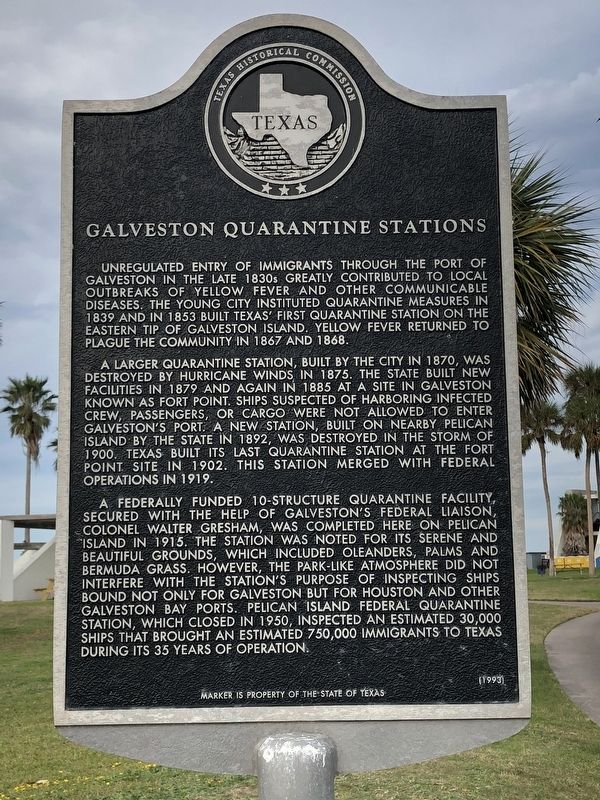
Galveston Quarantine Stations
A larger quarantine station, built by the city in 1870, was destroyed by hurricane winds in 1875. The state built new facilities in 1879 and again in 1885 at a site in Galveston known as Fort Point. Ships suspected of harboring infected crew, passengers, or cargo were not allowed to enter Galveston's port. A new station, built on nearby Pelican Island by the state in 1892, was destroyed in the storm of 1900. Texas built its last quarantine station at the Fort Point site in 1902. This station merged with Federal operations in 1919.
A federally funded 10-structure quarantine facility, secured with the help of Galveston's Federal Liaison Colonel Walter Gresham, was completed here on Pelican Island in 1915. The station was noted for its serene and beautiful grounds, which included oleanders, palms and Bermuda grass. However, the park-like atmosphere did not interfere with the station's purpose of inspecting ships bound not only for Galveston but for Houston and other Galveston Bay ports. Pelican Island Federal Quarantine Station, which closed in 1950, inspected an estimated 30,000 ships that brought an estimated 750,000 immigrants to Texas during its 35 years of operation.
Erected 1993 by Texas Historical Commission. (Marker Number 7474.)
Topics. This historical marker is listed in this topic list: Notable Places. A significant historical year for this entry is 1915.
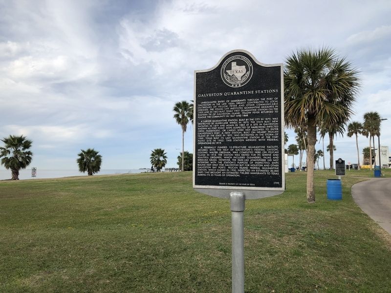
Location. 29° 20.15′ N, 94° 46.681′ W. Marker is in Galveston, Texas, in Galveston County. Marker can be reached from Seawolf Parkway. Marker is located within Seawolf Park, which requires an admission fee to enter. Touch for map. Marker is at or near this postal address: 100 Seawolf Park Boulevard, Galveston TX 77550, United States of America. Touch for directions.
Other nearby markers. At least 8 other markers are within 2 miles of this marker, measured as the crow flies. Galveston: Gateway to Texas (a few steps from this marker); SS Selma (about 300 feet away, measured in a direct line); U.S.S. Seawolf Memorial (about 700 feet away); Galveston Island (approx. 0.7 miles away); Galveston, C. S. A. (approx. 1.2 miles away); Fort San Jacinto (approx. 1˝ miles away); Galveston Medical College (approx. 1.7 miles away); "Old Red" (approx. 1.7 miles away). Touch for a list and map of all markers in Galveston.
Credits. This page was last revised on December 20, 2018. It was originally submitted on December 20, 2018, by Brian Anderson of Humble, Texas. This page has been viewed 1,319 times since then and 78 times this year. Photos: 1, 2. submitted on December 20, 2018, by Brian Anderson of Humble, Texas.

