Near Spotsylvania Courthouse in Spotsylvania County, Virginia — The American South (Mid-Atlantic)
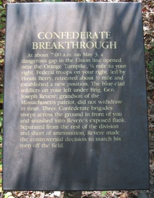
Confederate Breakthrough
Topics. This historical marker is listed in this topic list: War, US Civil. A significant historical month for this entry is May 1970.
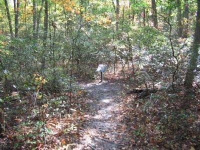
Location. 38° 18.688′ N, 77° 38.671′ W. Marker is near Spotsylvania Courthouse, Virginia, in Spotsylvania County. Marker can be reached from Plank Road / Germania Highway (State Highway 3), on the right when traveling west. Located at trail stop four on the Chancellorsville History Trail, at the Chancellorsville Battlefield. Touch for map. Marker is in this post office area: Spotsylvania VA 22553, United States of America. Touch for directions.
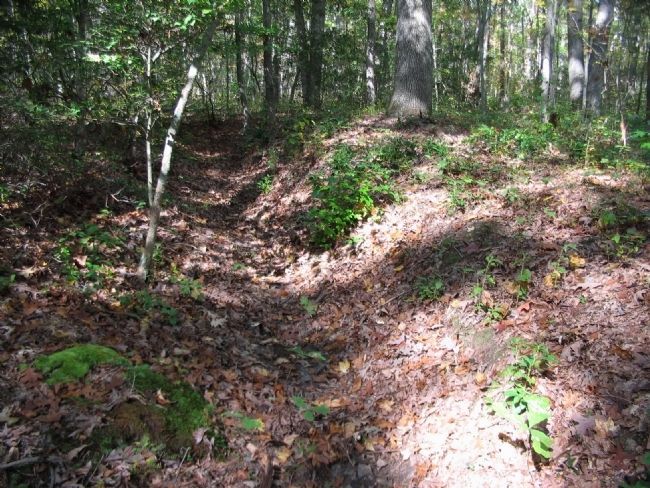
Other nearby markers. At least 8 other markers are within walking distance of this marker. Junction of Earthworks (within shouting distance of this marker); Flanking of Hays' Brigade (about 600 feet away, measured in a direct line); The Union Army Escapes (about 600 feet away); Collis Zouaves (about 700 feet away); Chancellorsville Campaign (approx. ¼ mile away); Chancellorsville (approx. ¼ mile away); A Fatal Reconnaissance (approx. ¼ mile away); Fredericksburg and Spotsylvania National Military Park (approx. ¼ mile away). Touch for a list and map of all markers in Spotsylvania Courthouse.
Also see . . . Battle of Chancellorsville. National Park Service site. (Submitted on October 21, 2008, by Craig Swain of Leesburg, Virginia.)

Photographed By Craig Swain, October 18, 2008
3. The Wilderness
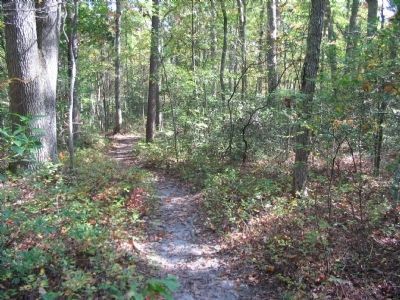
Looking at a spot just east of the marker along the trail. The growth here is many generations removed from what it looked like at the time of the battle. Still the dense undergrowth restricts visibility. In this environment, it was easy for units to become confused and disconnected with adjacent units.
Credits. This page was last revised on July 9, 2021. It was originally submitted on October 21, 2008, by Craig Swain of Leesburg, Virginia. This page has been viewed 940 times since then and 11 times this year. Photos: 1, 2, 3, 4. submitted on October 21, 2008, by Craig Swain of Leesburg, Virginia.


