St. Augustine in St. Johns County, Florida — The American South (South Atlantic)
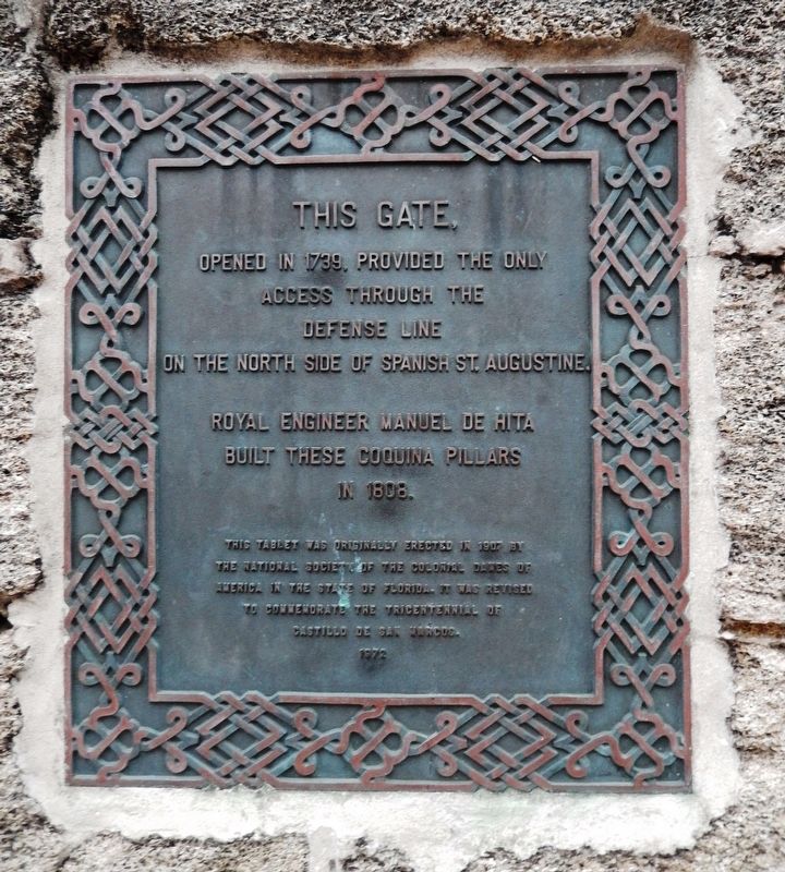
This Gate Opened in 1739
opened in 1739, provided the only
access through the
defense line
on the north side of Spanish St. Augustine.
Royal Engineer Manuel de Hita
built these coquina pillars
in 1808.
This tablet was originally erected in 1907 by the National Society of the Colonial Dames of America in the State of Florida. It was revised to commemorate the tricentennial of
1972
Erected 1907 by Colonial Dames of America in the State of Florida.
Topics and series. This historical marker is listed in these topic lists: Colonial Era • Forts and Castles. In addition, it is included in the The Colonial Dames of America, National Society of series list. A significant historical year for this entry is 1739.
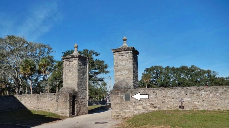
Location. 29° 53.871′ N, 81° 18.814′ W. Marker is in St. Augustine, Florida, in St. Johns County. Marker is at the intersection of Orange Street and St. George Street, on the left when traveling east on Orange Street. Marker is a large metal tablet, mounted at waist-level, directly on south side of the subject gate, by the right [east] pillar. Touch for map. Marker is at or near this postal address: 102 Orange Street, Saint Augustine FL 32084, United States of America. Touch for directions.
Other nearby markers. At least 8 other markers are within walking distance of this marker. The City Gate (a few steps from this marker); Safe Haven / Refugio seguro (a few steps from this marker); Wall of Defense / Una ciudad amurallada (within shouting distance of this marker); The Town Wall (within shouting distance of this marker); Huguenot Cemetery (within shouting distance of this marker); General Biassou House (within shouting distance of this marker); The Salcedo House (within shouting distance of this marker); Public Burying Ground (within shouting distance of this marker). Touch for a list and map of all markers in St. Augustine.
Related markers. Click here for a list of markers that are related to this marker. St. Augustine City Wall & Gate
Also see . . .
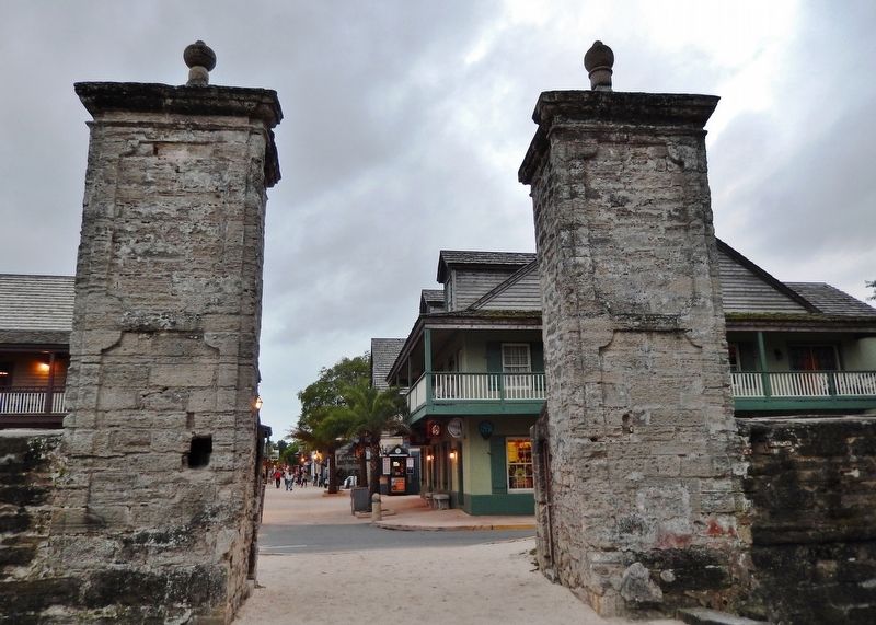
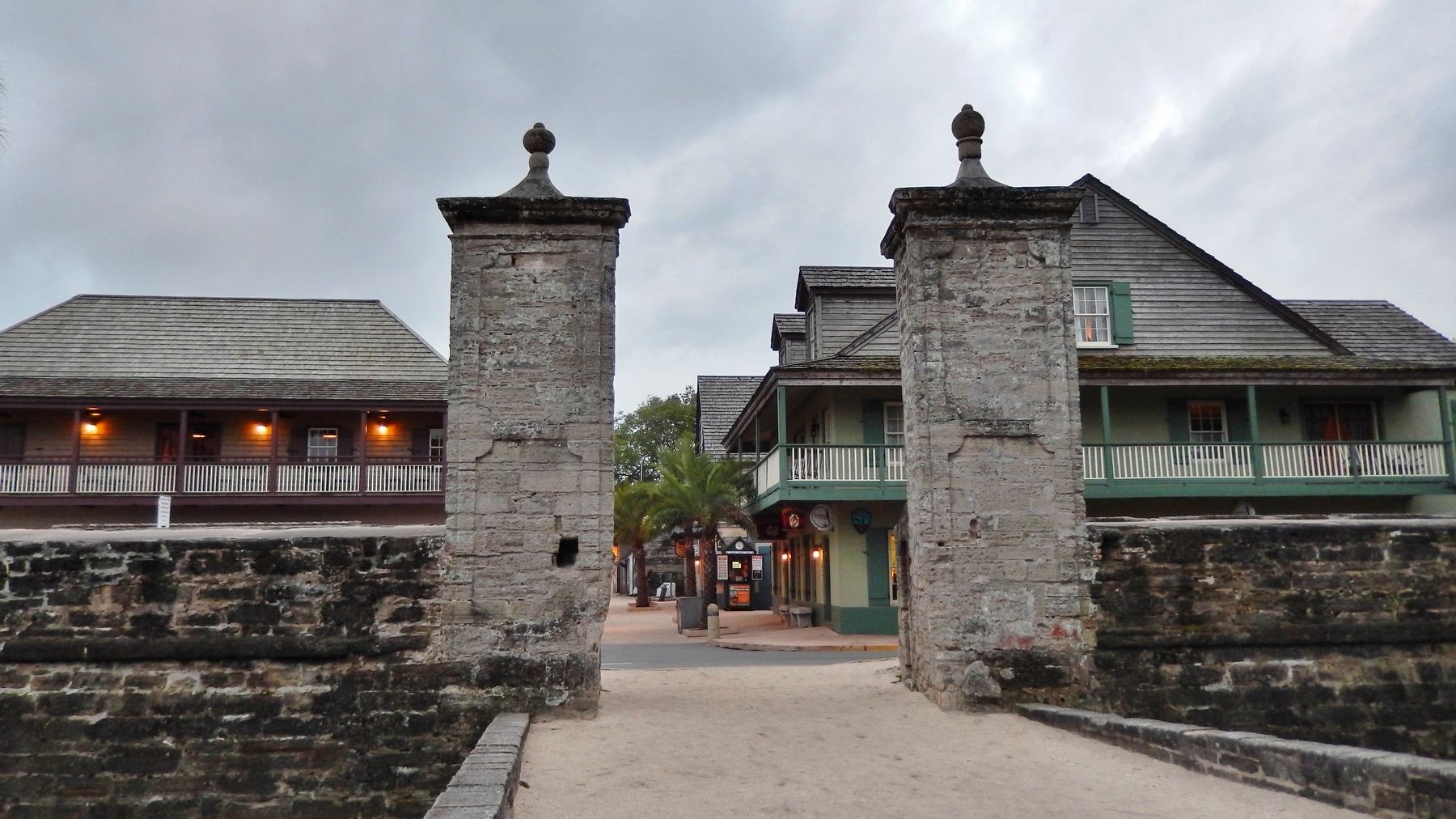
1. The City Gates. (this link presents a professional video of the gate.) In 1808 the residents of St. Augustine erected the pillars of the City Gates using coquina blocks. The Cubo Line was also reconstructed at the same time. The City Gates still stand today, along with reconstructed portions of the Cubo Line marking the beginning of St. George Street leading visitors though the heart of the city. (Submitted on November 30, 2018, by Cosmos Mariner of Cape Canaveral, Florida.)
2. City Gate St. Augustine. (This link presents historic photos of the gate.) The present St. Augustine City Gate,
which gave access to the city from the north through the Spanish Cubo Line Defense System, was constructed in 1808. The bridge approach was razed in 1827 and in the same year the masonry construction was also damaged; it was not until 1879 that these damages were repaired. In 1910 the surrounding area was filled and leveled; in 1913 repairs and repointing were carried out and the west finial probably replaced. (Submitted on November 30, 2018, by Cosmos Mariner of Cape Canaveral, Florida.)
Credits. This page was last revised on March 18, 2019. It was originally submitted on November 28, 2018, by Cosmos Mariner of Cape Canaveral, Florida. This page has been viewed 406 times since then and 36 times this year. Last updated on December 28, 2018, by Cosmos Mariner of Cape Canaveral, Florida. Photos: 1, 2, 3, 4. submitted on November 30, 2018, by Cosmos Mariner of Cape Canaveral, Florida. • Andrew Ruppenstein was the editor who published this page.


