St. Augustine in St. Johns County, Florida — The American South (South Atlantic)
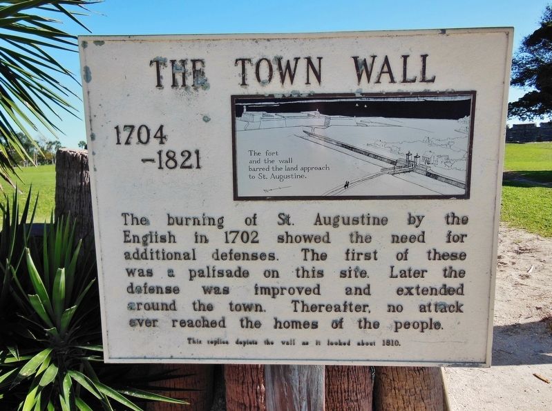
The Town Wall
1704-1821
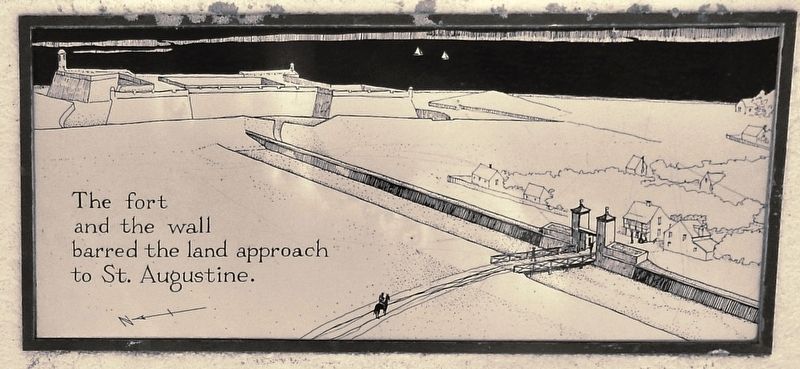
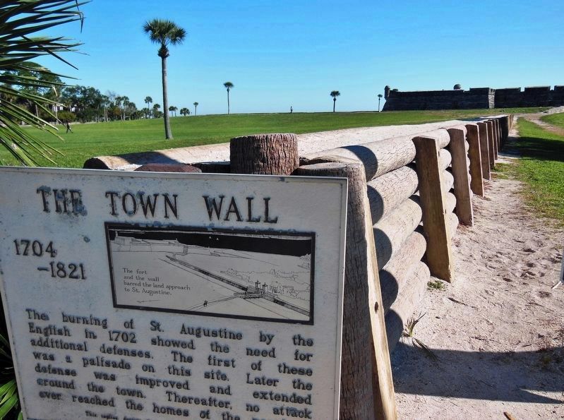
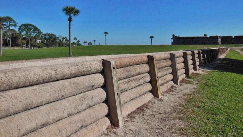
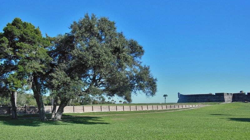
The burning of St. Augustine by the English in 1702 showed the need for additional defenses. The first of these was a palisade on this site. Later the defense was improved and extended around the town. Thereafter, no attack ever reached the homes of the people.
Topics. This historical marker is listed in these topic lists: Colonial Era • Forts and Castles.
Location. 29° 53.874′ N, 81° 18.789′ W. Marker is in St. Augustine, Florida, in St. Johns County. Marker is at the intersection of South Castillo Drive (Business U.S. 1) and Orange Street, on the right when traveling north on South Castillo Drive. Marker is located beside the sidewalk, on the east side of the highway, adjacent to the subject wall replica. Touch for map. Marker is in this post office area: Saint Augustine FL 32084, United States of America. Touch for directions.
Other nearby markers. At least 8 other markers are within walking distance of this marker. Wall of Defense / Una ciudad amurallada (here, next to this marker); The City Gate (within shouting distance of this marker); This Gate Opened in 1739 (within shouting distance of this marker); Safe Haven / Refugio seguro (within shouting distance of this marker); Invincible? / ¿Invencible? (within shouting distance of this marker); General Biassou House (within shouting distance of this marker); The Salcedo House (within shouting distance of this marker); Huguenot Cemetery (within shouting distance of this marker). Touch for a list and map of all markers in St. Augustine.
More about this marker. Marker is a large, engraved metal plaque, mounted vertically on a waist-high post.
Related markers. Click here for a list of markers that are related to this marker. St. Augustine City Wall & Gate
Also see . . .
1. Siege of St. Augustine (1702). Wikipedia entry:
The Siege of St. Augustine was an action in Queen Anne's War during November and December 1702. It was conducted by English provincial forces from the Province of Carolina and their native allies, under the command of Carolina's governor James Moore, against the Spanish colonial fortress of Castillo de San Marcos at St. Augustine, in Spanish Florida. (Submitted on November 22, 2018, by Cosmos Mariner of Cape Canaveral, Florida.)
2. The Siege of 1702. Castillo de San Marcos National Monument, Florida NPD website entry (Submitted on November 15, 2021, by Larry Gertner of New York, New York.)
3. The Siege of 1702. NPS Castillo de San Marcos National Monument, Florida website entry (Submitted on November 15, 2021, by Larry Gertner of New York, New York.)
Credits. This page was last revised on November 15, 2021. It was originally submitted on November 21, 2018, by Cosmos Mariner of Cape Canaveral, Florida. This page has been viewed 272 times since then and 19 times this year. Last updated on December 28, 2018, by Cosmos Mariner of Cape Canaveral, Florida. Photos: 1, 2, 3, 4, 5. submitted on November 22, 2018, by Cosmos Mariner of Cape Canaveral, Florida. • Andrew Ruppenstein was the editor who published this page.
